The numbers
- Total miles: 723.9*
- Total days: 28
- Paddling days: 27
- Rest days: 1
- Average daily mileage (all days): 25.9
- Average daily mileage (paddling days): 26.8
- Longest paddling day: 35.4 miles (Day 9)
- Shortest paddling day: 12.6 miles (Day 8)
- Days with rain while paddling: 5
- Number of thunderstorms: 0
- Days with a significant headwind: 13
- Days with a tailwind: 4 (including 3 partial days)
- Number of nights in camping hammock: 17 (including 3 in a lean-to)
- Number of nights in a real bed indoors with a shower: 8
- Number of nights in other covered accommodation: 5 (including 3 in hammock in a lean-to)
- Number of capsizes: 0
- Number of rides offered: 3
- Number of rides accepted: 0
- Initial body weight: 153 lb
- Initial pack weight: 49 lb
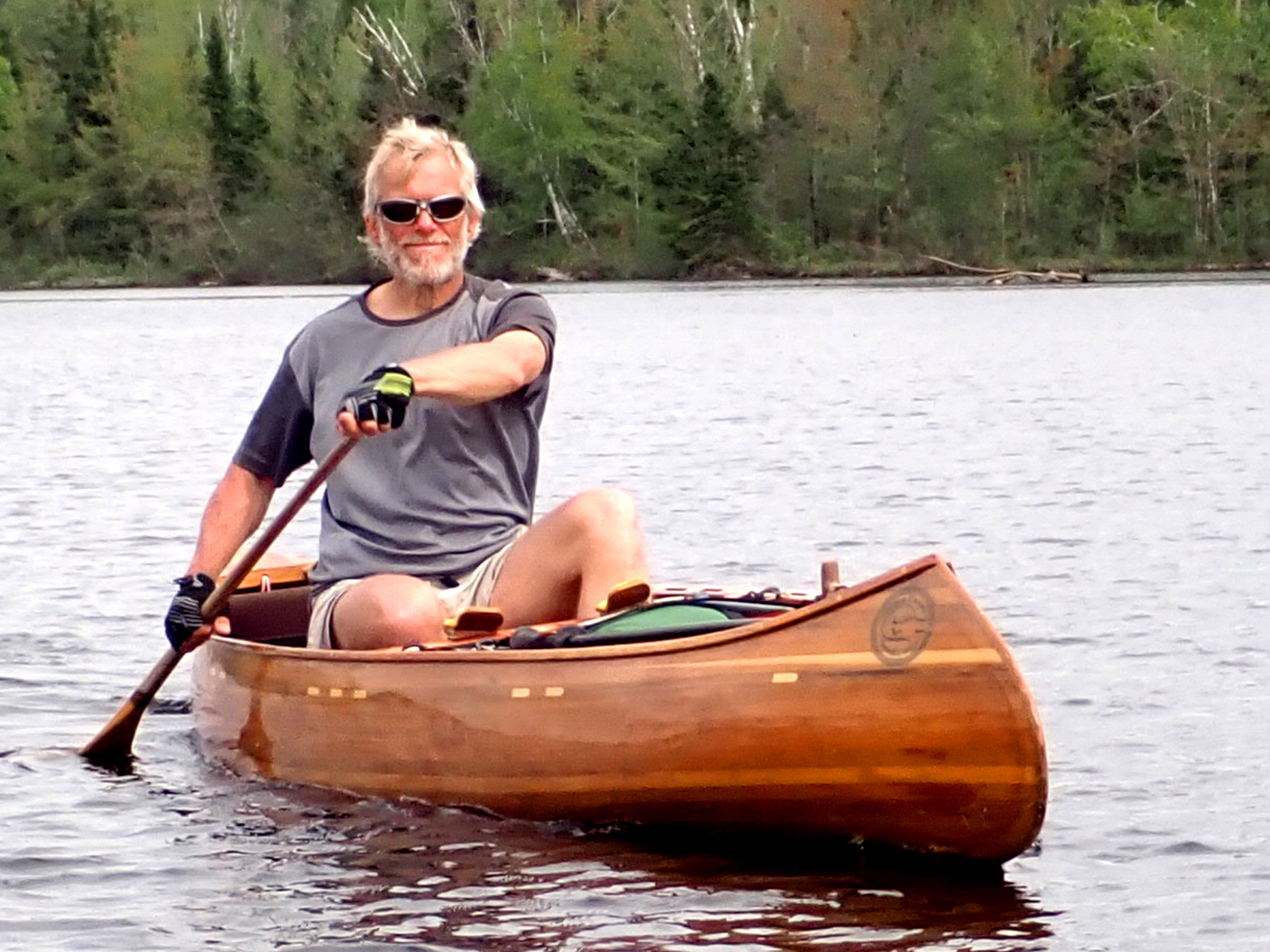
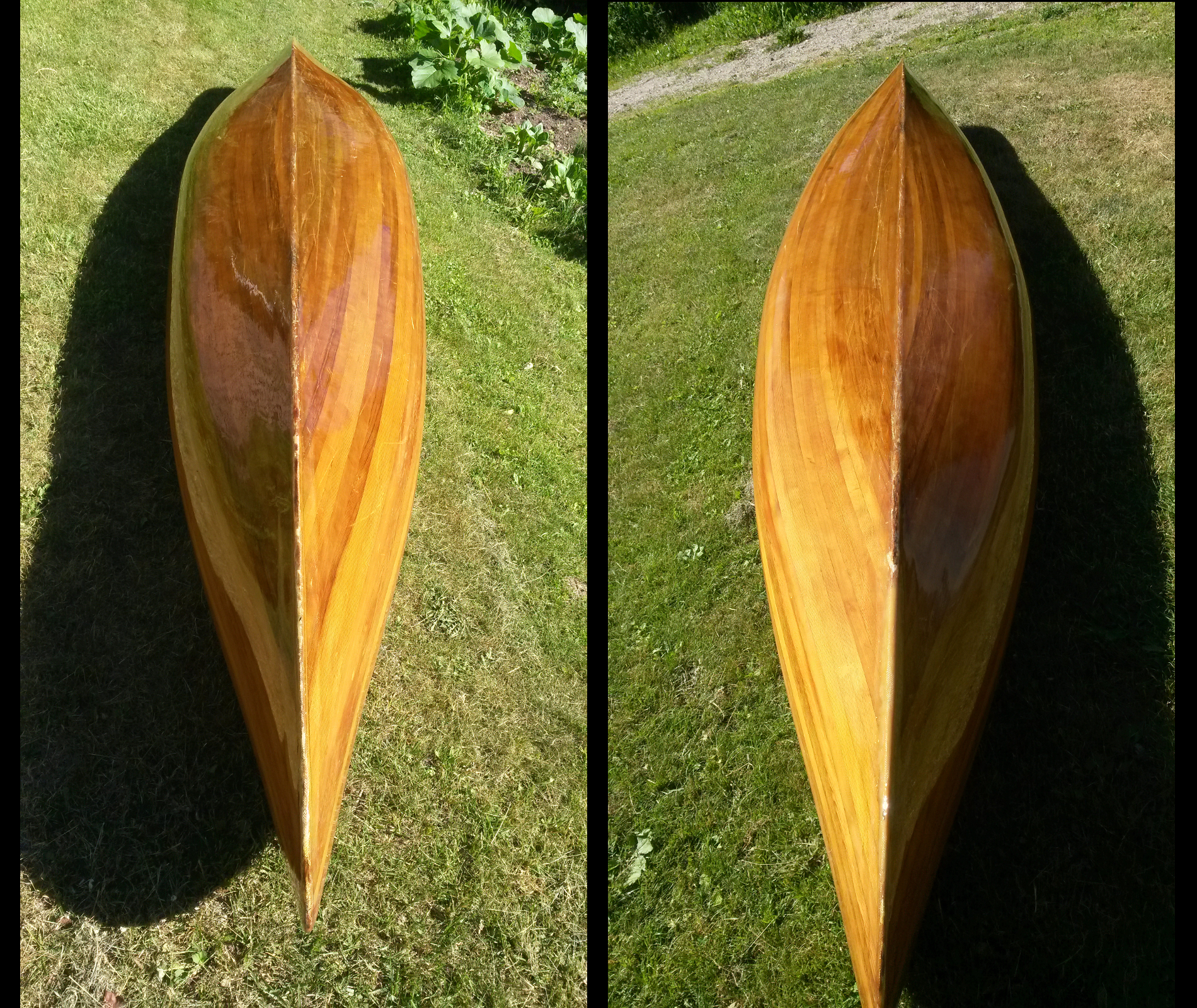
- Canoe weight: 37 lb (about 41 lb including paddles, poles & PFD)
- Final body weight: about 146 lb
- Number of moose sightings: 4
- Number of bald eagle sightings: > 20
- Number of beaver sightings: > 20
- Number of musk rat sightings: > 20
- Number of otter sightings: 1
- Number of pharmaceuticals consumed: 0
* Measured using Google Earth's ruler function along the route that I took (to my best recollection).
This includes a few wrong turnings. My actual mileage was in reality much more than this. While following
river banks (upstream) or lakeshores (into the wind), my route was highly convoluted, e.g. rounding fallen
trees before ducking back into the eddy, rounding docks which forced me out into the wind before ducking
back into shelter. It was not possible to re-create all of these moves when measuring distances.
Furthermore, the start and finish times given on the maps are slightly too early and late respectively.
I started paddling after sending the departure SPOT waypoint and did not send the final waypoint until
having already stopped paddling. In other words, the times given exaggerate the lengths of my days by just
a few minutes.
|
Et cetera
Many paddlers claim to be plagued on a long trip by earworms (tunes or songs that infect the brain and will not leave). Whilst
not a regular sufferer, this time I succumbed. For much of the first half of the trip I had an infestation of The Blackfly Song
(if you've heard it, you know which one I mean). I suspect this had something to do with its irrepressible happiness, which helped
to dispel the dark thoughts engendered by the wind. It certainly had nothing to do with blackflies, which did not put in an
appearance for well over a week. Whatever, I soon put my creative powers to work and, with sincere apologies to Wade Hemsworth
for what I've done to his gem of a song, I offer a modified version: The Headwind Song.
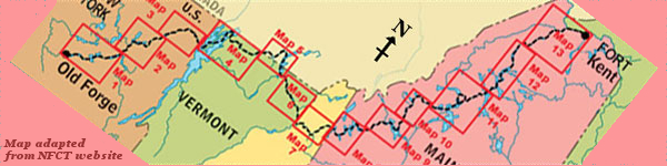
Up the St John and the Allagash
Th'wind's havin' a party, it's havin' a bash.
Up the Penobscot and down Moosehead
By the time I get there I'm nigh on dead.
The headwind, the dratted headwind,
Always a headwind, no matter where I go.
I'm tired of the headwind slappin' my face
in northern Maine-ee-o-ee-o,
In northern Maine-ee-o
Brassua Lake is a serious test,
The wind's now blowin' from the northwest.
I reach Long Pond and I'm nearly done,
But the west wind now is hav'n' some fun.
The headwind …
Ten miles to Jackman, an easy pull,
Or the mindless ramblings of an errant fool.
Big Wood Pond is a sea of white
So the motel is my home tonight.
The headwind …
On Spencer Lake and Fish Pond too
The south wind's draggin' on my canoe.
On Flagstaff Lake it loves to jest:
It's blowin' Force 5 from the northwest.
The headwind …
On Rangeley Lake and Mooselook too
There's westerly enough for two.
On Richardson, where north south meet,
It's blowin' both ways – that's quite a feat.
The headwind …
On a more serious note, I lost my camera on Day 5 somewhere near the Mud Pond Carry (but certainly not on it). Whilst cameras, batteries
and memory cards are replaceable, the photos already taken are not. It's a Canon D10 with blue and silver body in a black fabric case, maybe
6 x 3 inches maximum, with a coiled green and black paracord lanyard attaching camera to case. Whilst it's most unlikely that you would travel where
I did, I'm happy to offer a worthwhile reward to anyone who happens to find it and return it. In August of 2019, Ray accompanied me for a long
weekend of searching, complete with GPS and metal detectors. We found the relevant area, but it had been logged, and all was skidder trails and
piles of brush. Even though we found some of the type of young growth that I forced my way through (see Day 5 of the journal), our search was
ultimately fruitless.
|