Day 7 route on Google Earth imagery
|
|
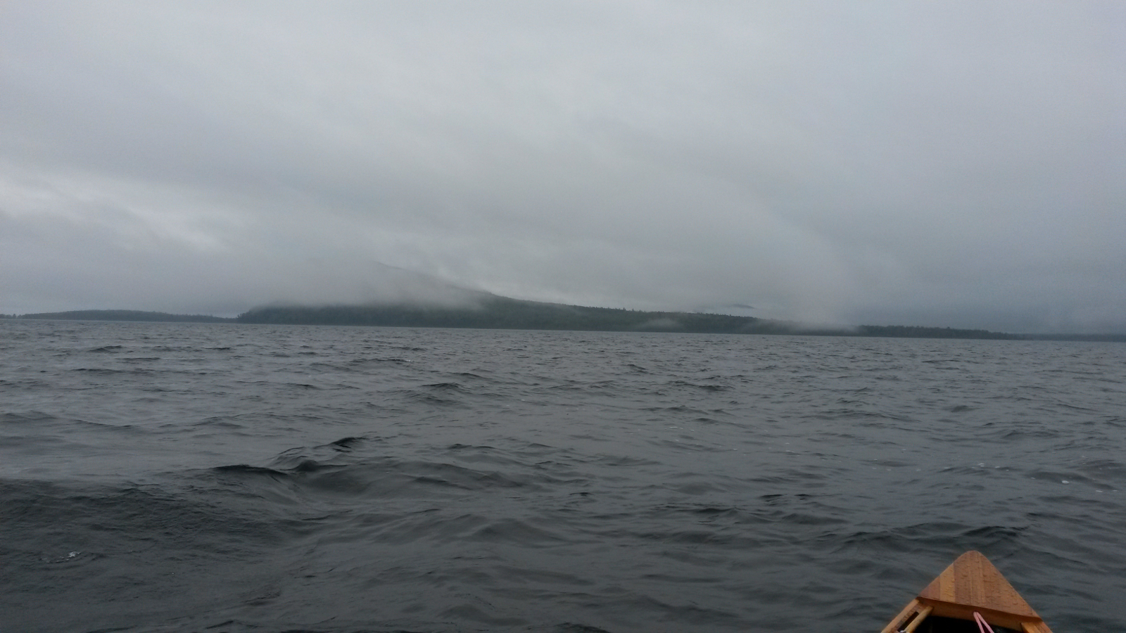
As one day ends, so does another. Yesterday finished with a tough slog into a brutal headwind on Moosehead Lake. Today finished with a similarly
tough fight into a headwind on Long Pond. In fact, the wind performed an amazing feat of contrariness today.
The rain lasted well into the night before stopping, only to start again as I was packing to leave. Mercifully the wind had died somewhat, although
not entirely. Paddling out of Big Duck Cove was easy, but as I turned the corner to head south I had to dig in again, and my body was not ready for
this so soon after yesterday evening. I hugged the shoreline to pick up whatever lee was available, but the crossing to Hardscrabble Point was
exposed and hard work. At Hardscrabble Point I changed into warmer clothing, having been initially over-optimistic about today's temperature.
|
Moosehead Lake
|
Moose River entrance
|
|
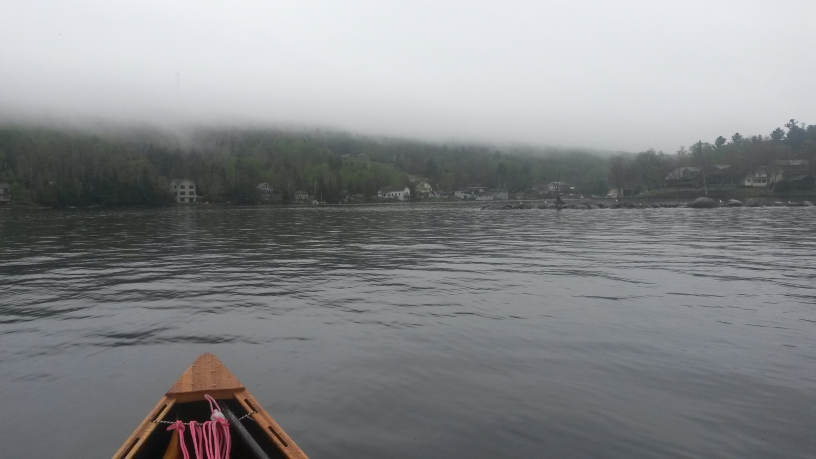
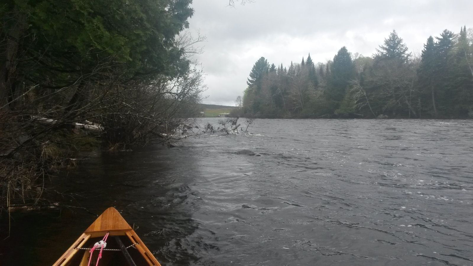
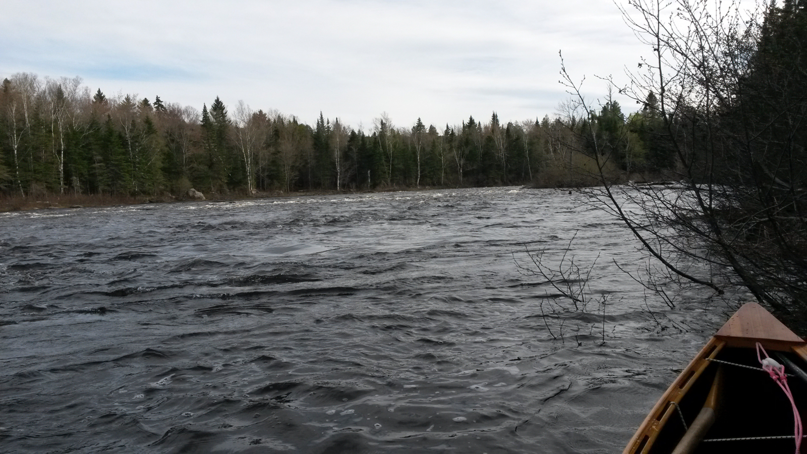
Beyond the point there was more shelter, and I entered the Moose River at about 10:00 am, starting my fourth upstream river. The farther from the lake I
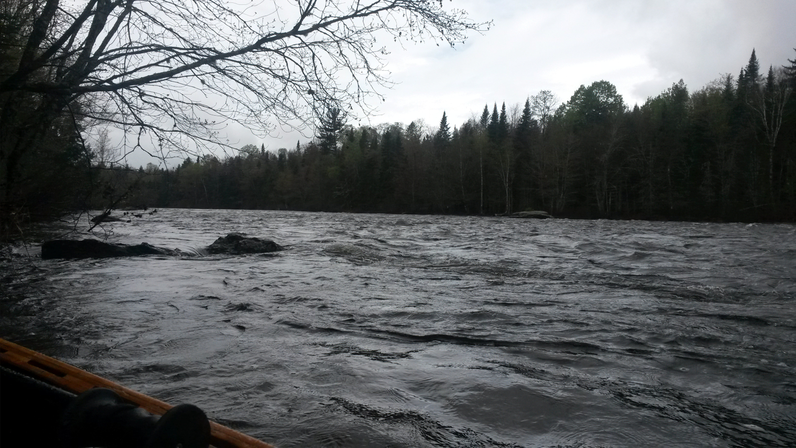
progressed, the faster the current became. This was one place where I had looked at carry alternatives, remembering some rapids last time. As I
crept up my right bank (river left) I eventually came across flow around a small promontory that I could not paddle against: the hump of water was
just too great to get over. With resignation I turned to go back downstream to find the road access, thinking to carry to Brassua Dam, but something,
maybe an intense dislike of being defeated, made me change course, heading for the far bank instead. Once there I headed upstream once more, and a
combination of wading and eddy-hopping took me upstream and eventually to the dam. The portage to Brassua Lake was easy, although involved a steep
climb (about the height of the dam, of course!)
For a while the sun came out and I was too hot, but as I paddled out of the dam cove I was astounded to see wave trains running from right to left.
The wind, a strong one, had shifted to the northwest, having been southerly when I was on Moosehead Lake. My route across Brassua Lake required
heading in a northwesterly direction, once more into a strong headwind. Once again I ferry-glided across to the western shore where a little shelter
was available, and worked my way out to the point where I turned west into Little Brassua Lake. Here the wind seemed to funnel at me from the west
and the northwest, driving waves from both directions, waves which merged under me, creating confused water, not allowing any kind of rhythm of
paddling.
|
Moose River rapids
|
Brassua Dam approach
|
|
Digging deep was now hurting my body. I was in need of a rest, so decided to go as far as possible today (sounds perverse, I know!) in order to make
tomorrow's trip to Jackman a short one, allowing maybe a half day of complete rest. I had been noticing in the mornings that muscle tension in my
shoulders was impinging on nerves, creating some shooting pains down my arms and some tingling in various fingers. This was most noticeable first
thing, and often during the night. It was necessary to move my arms to new positions in order to relieve this. I was also suffering from very stiff
fingers, especially overnight. I usually hold the paddle lightly, but had been forced to grip it tightly for hours on end, lest the wind wrest it
from my grasp. Furthermore, the sheer force that I was having to exert in order to progress into the wind required more than the usual grip.
I fought my way across Little Brassua Lake into the outlet of the Moose River, still in two minds about how to tackle the section up to the Demo
Road bridge. The alternatives were to tackle upstream rapids, with a couple of portages around the hardest sections, or to take the 3.6-mile Demo
Road carry. One look at the final set of rapids that faced me made the decision easy. My progress there would be too slow in order to be able to
find a camp-site on Long Pong tonight. The long carry was the better option.
There was no visible sign marking the take-out, so I chose the most likely spot, and then scouted a trail that seemed to lead in the right
direction. It eventually deteriorated, but very close to the logging road that I needed to access, so I returned, loaded up, and took it. Whether
or not I was on the correct trail I have no idea, but suspect not. I carried in 20-minute increments, each being roughly a mile, as is my discipline.
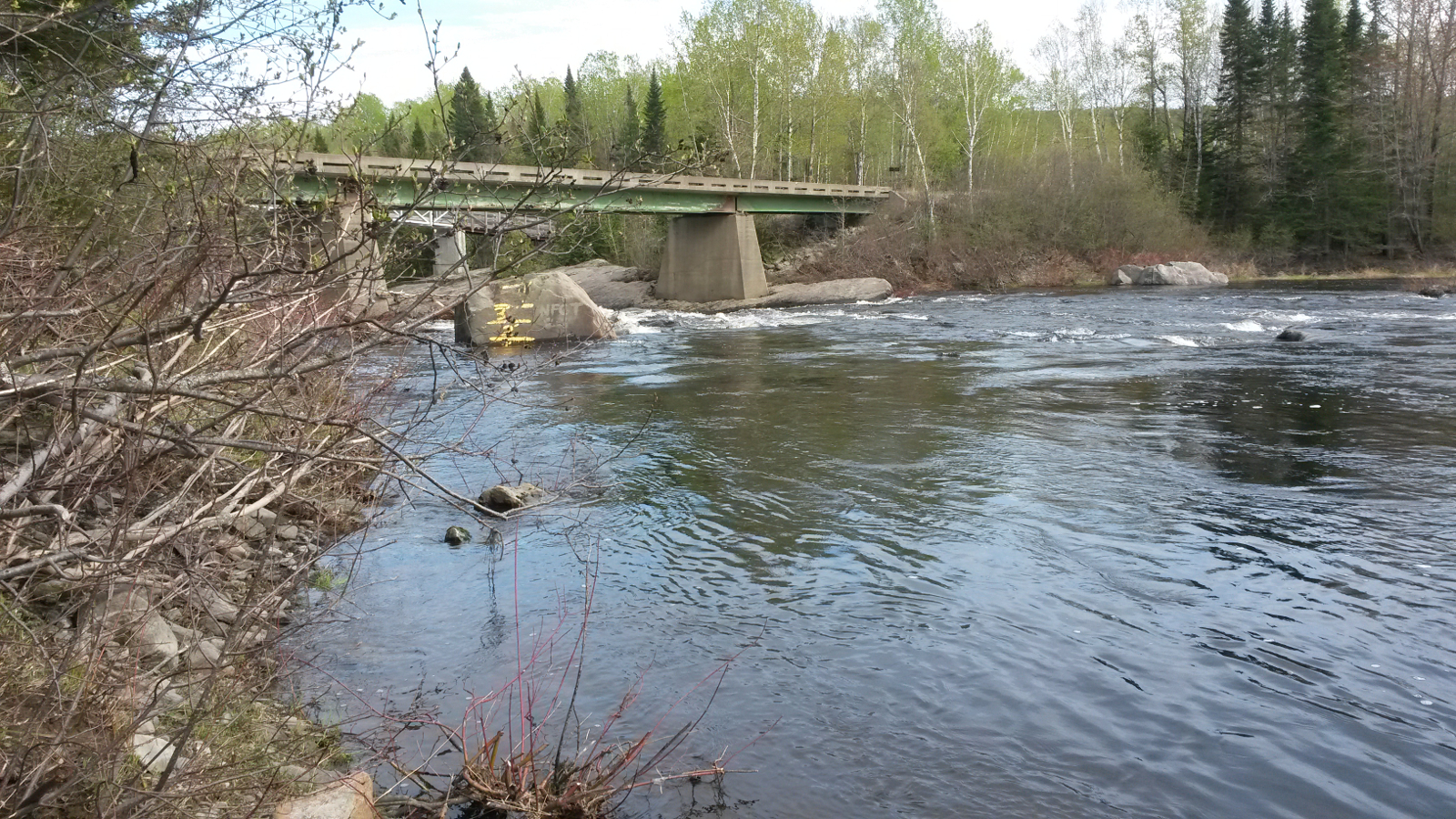
The Demo Road had been very recently graded, so was soft, making for inefficient walking as my feet sank a little at each step. I couldn't help but
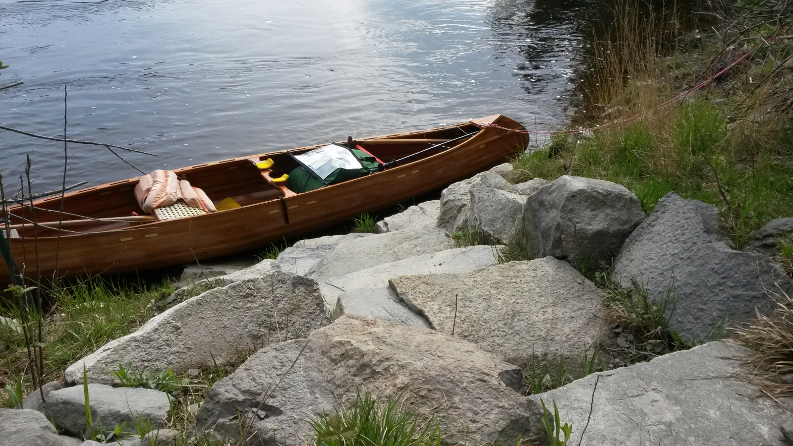
think that a cart with narrow wheels would have struggled on this surface. Nevertheless I completed the carry in a respectable time and put in above
the Demo Road bridge.
|
Demo Road bridge
|
Demo Rd put-in
|
|
The few rapids between there and Long Pond I negotiated by paddle and wading, and at 5:30 pm I emerged into Long Pond to head due west into a 20+
mph westerly wind. Waves were being driven towards me, and once more my body hurt as it fought to accelerate the entire canoe and load at each
stroke. I sought very temporary shelter behind a couple of islands, but mostly there was none to be had. I beat across to the southern shore which
offered a little shelter, allowing easier progress. As I rounded the point which should have revealed a new headland with a camp-site, there was
no such headland in sight. I aimed for the first point of land, but it was clearly farther than indicated on the map. It was a struggle to make progress
across the bay, but eventually I arrived to confirm that this was private property. The next available camp-site was at the Narrows; I had
no choice but to go farther into the wind. Arriving at the Narrows at 6:50 pm, I was relieved to find a camp-site on the northern shore, and crawled
exhausted from the canoe.
A change of clothing and hot food and drink helped. At a guess I could be in Jackman by lunchtime tomorrow, allowing a complete half day of rest and
recuperation. I needed it.
|
Moose River rapids
|
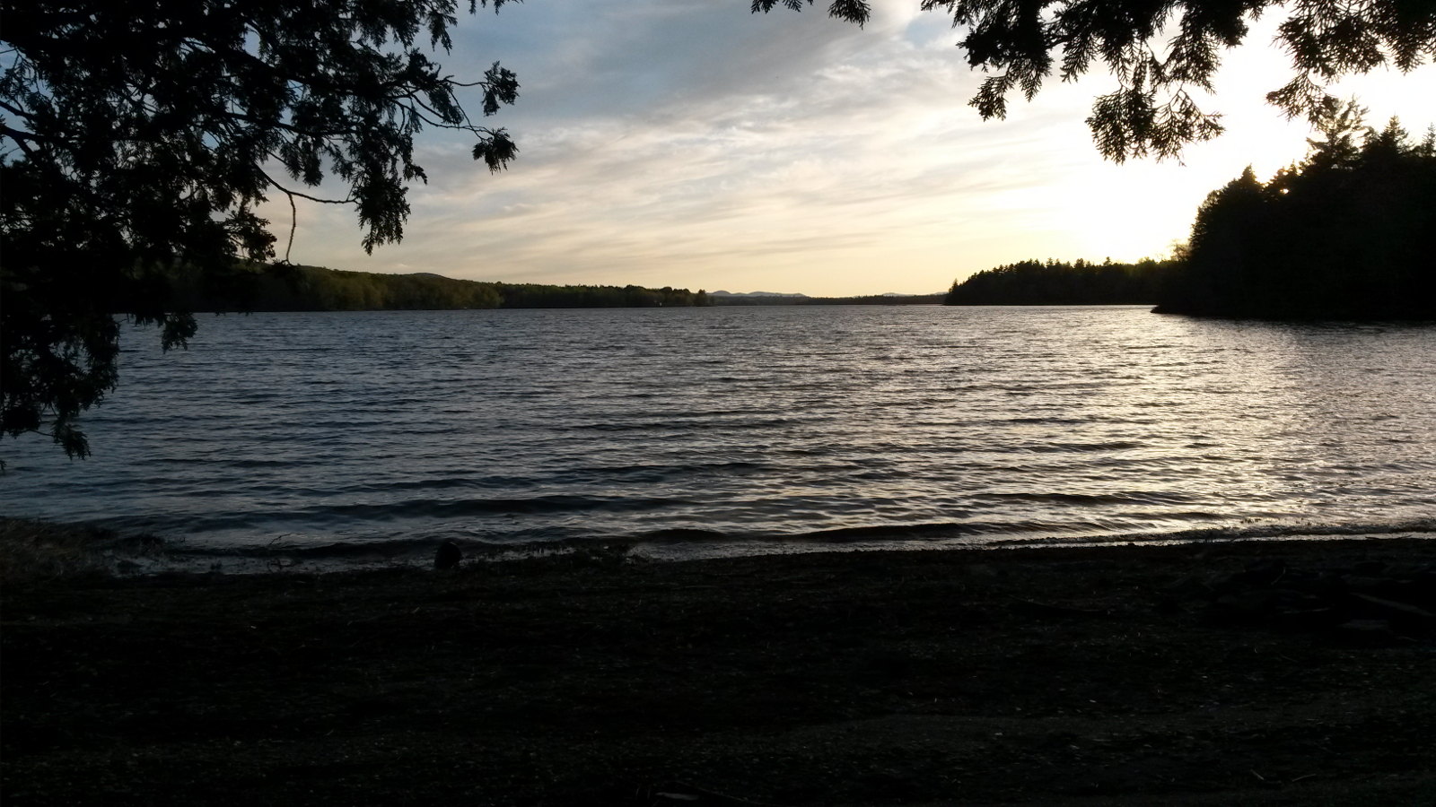
Long Pond: evening “calm”
|
|

