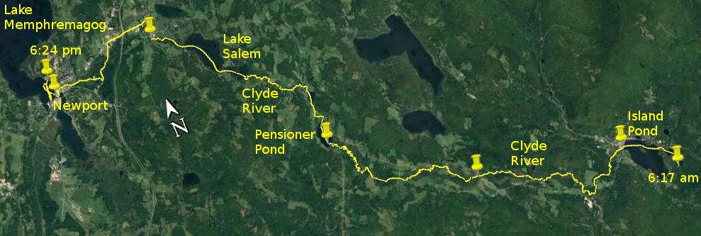
Day 17 route on Google Earth imagery
|
|
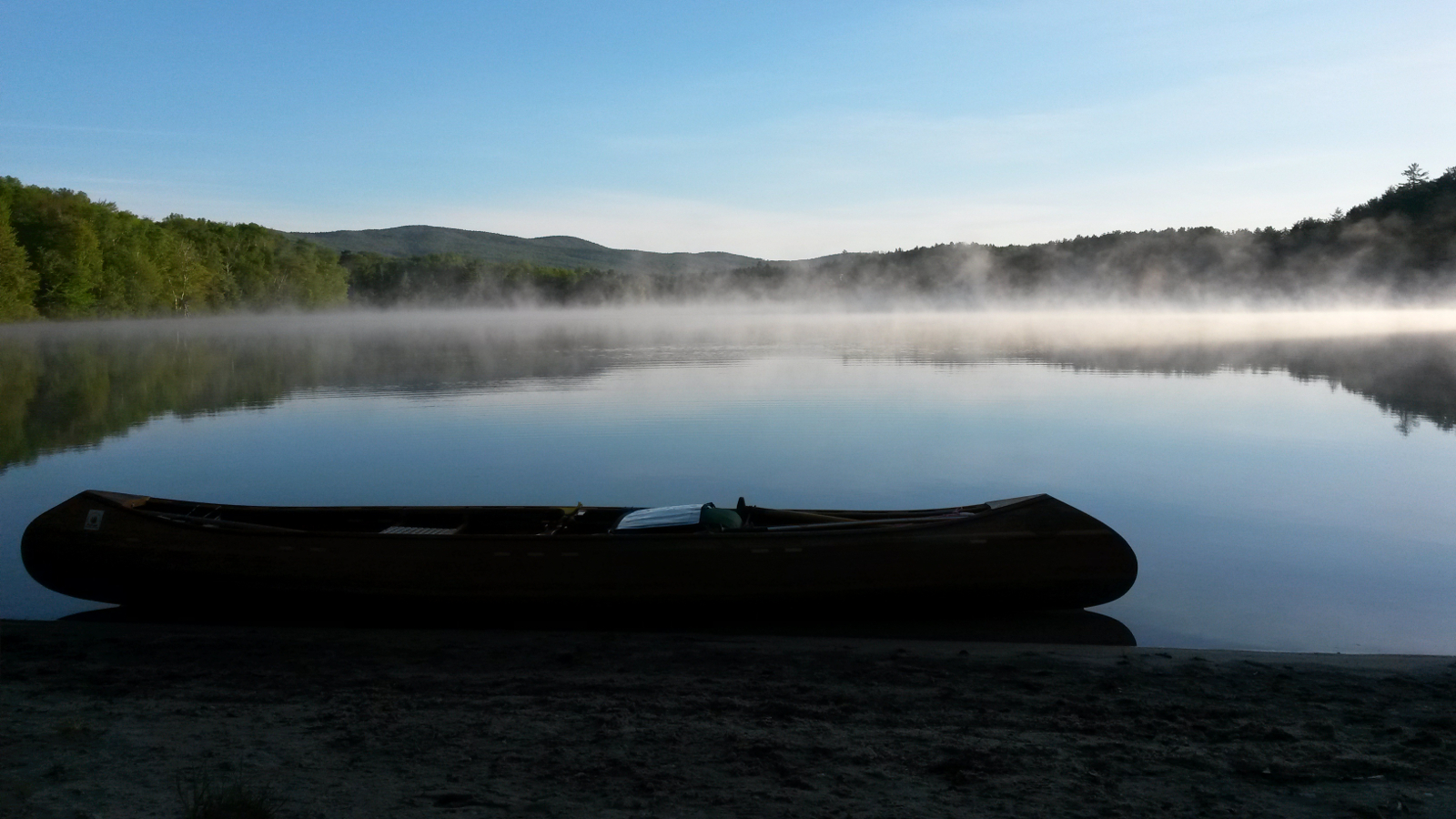
Today spanned the gamut of paddling. After a cold night – by 10:00 pm I was rectifying the ambitious decision to sleep without the under-quilt
– I was up early and away by about 6:00 am. Morning mist was rising and swirling as the sun rose over a glass-like Spectacle Pond. It was an
easy warm-up pull to the other end of the pond, followed by retracing my final carry of yesterday to an idyllic Island Pond. More easy paddling
brought me to the town beach, where I went in search of the bakery that my notes mentioned. Sadly the loaf of bread was a big disappointment –
more air than bread – but it at least made a change to my diet. Roll on Owl's Head Bakery in Mansonville.
|
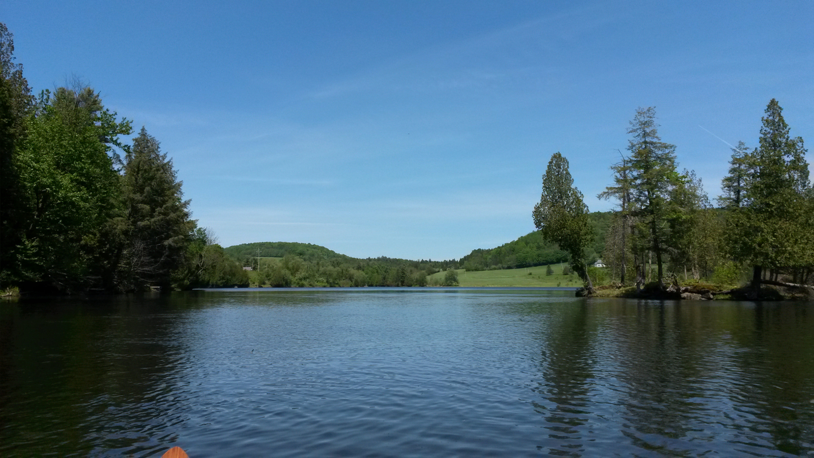
Morning mist on Spectacle Pond
|
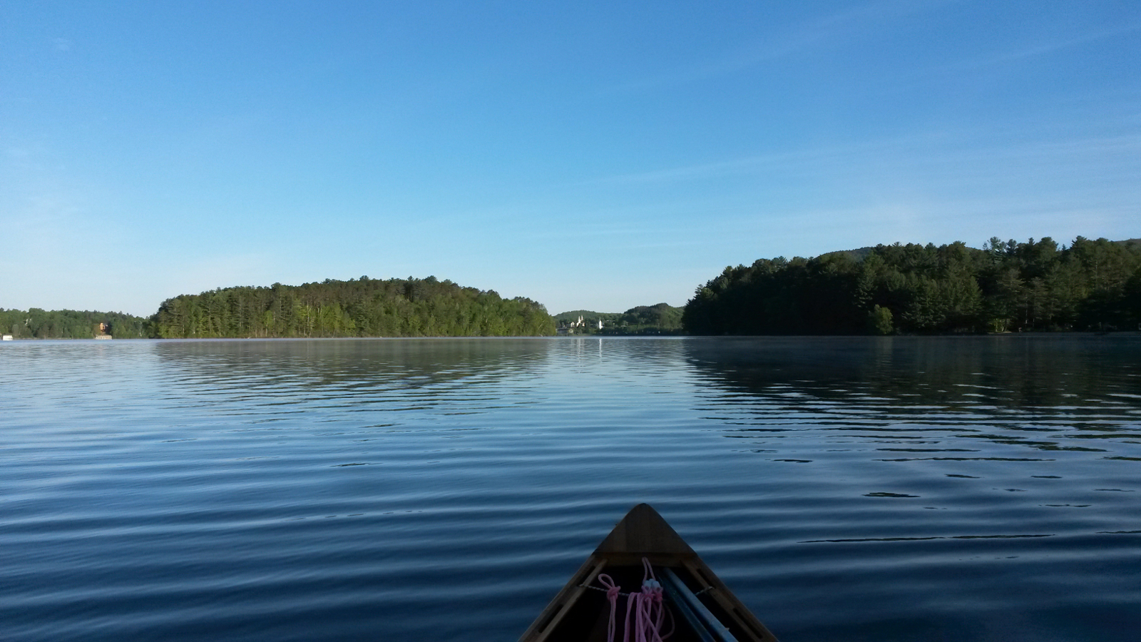
Island Pond
|
|
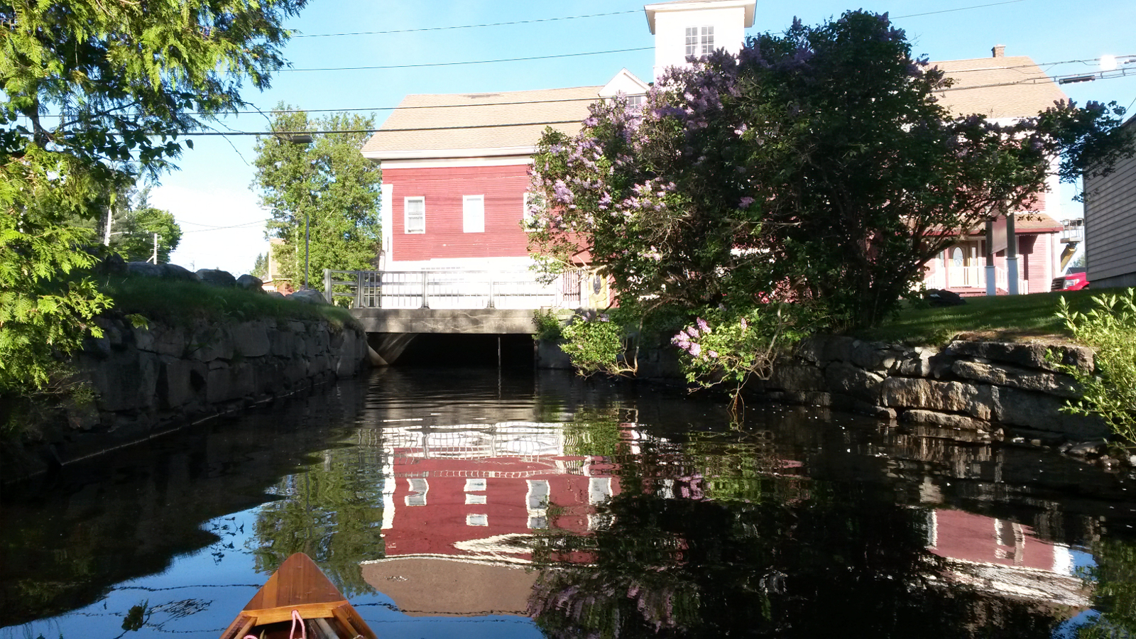
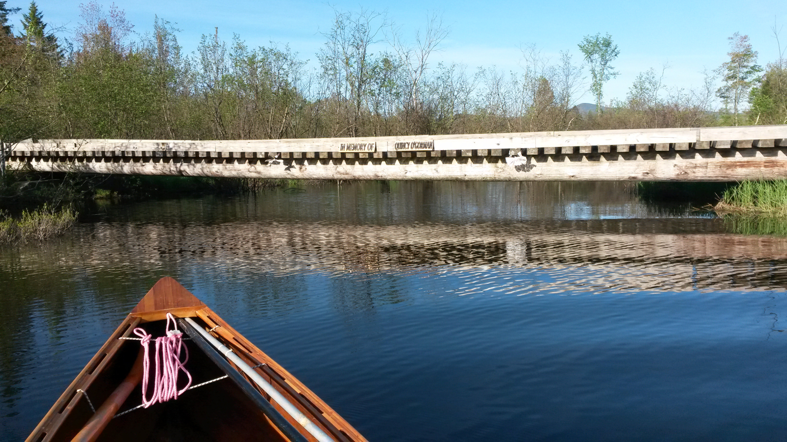
Then my route took me out of Island Pond, under the Clyde River Hotel and into the upper reaches of the Clyde River, my penultimate downstream. With
the river narrow between alders and flowing well, progress was quick until I encountered blow-downs. These were to punctuate the day. Some I could
negotiate by some creative steering and judicious ducking. Others necessitated a carry where neither take-out nor put-in was ideal, sometimes in
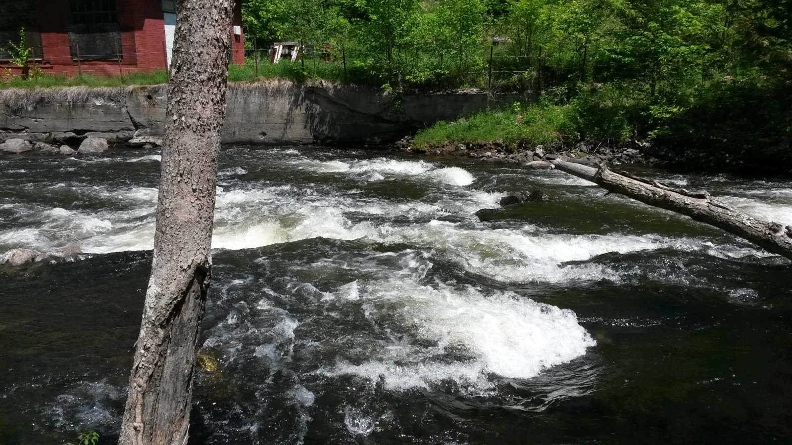
deep mud. A low bridge temporarily separated me from my canoe – it just went under while I went over. The rapids shortly below Island Pond
were a pain: there is no identifiable portage path, so guesswork and bush-whacking came into play.
|
The source of the Clyde
|
Paddler over; canoe under
|
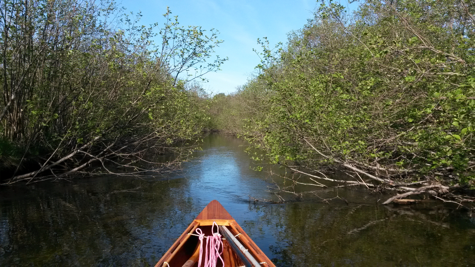
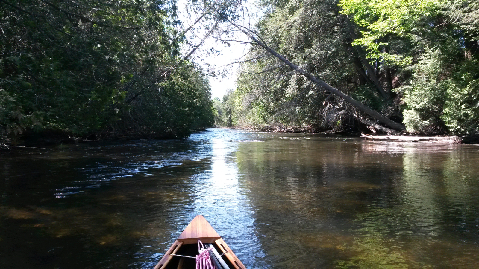
“narrow between alders”
|
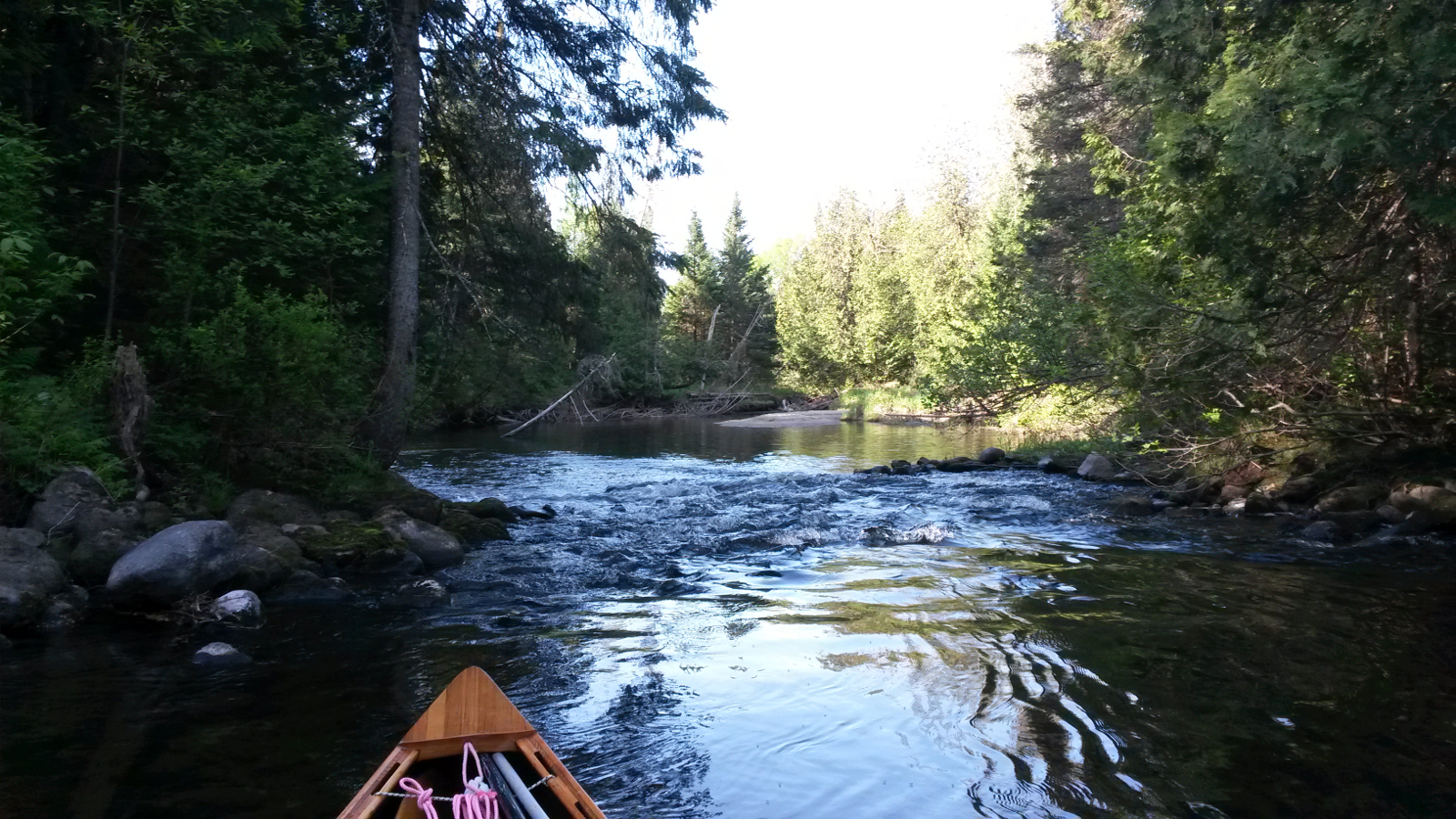
Rocky riffle
|
|
At the “Tubes”, culverts under Five Mile Square Road, I had a snack and did some cleaning to remove the accumulated mud and vegetation
that had accrued during the various trials thus far.
Paddling then became easier as I entered the fen, with deep water, noticeable flow, and even a tailwind at times. Navigation downstream was so much
easier than upstream – just follow the flow. Ten Mile Square Road was not long in appearing. I called in at the NFCT farm stand, but no-one
was in. I also took advantage of having cell-phone service to call US Customs, and had it confirmed that the border at East Richford would still be
open this Friday. It was due to close for bridge maintenance, and the alternative route involved a carry of about 8 miles with a steep climb, not
something that I would add to my itinerary if at all possible. I called Viveka to let her know that our elaborate plans, which had evolved over the
course of sporadic emails when I had wi-fi access, would not now be needed. With input from Ray, we had devised a plan which involved my paddling
down to the border, but not across it, and then returning a few yards upstream to where Viveka would pick me up, having driven there, entering
Canada via a different border crossing. We would then drive back through that crossing for me to re-enter the US and up to near to the closed
bridge. There I would enter the river, paddle up to the border, but not across it, and, in so doing, ensure that I had propelled myself along the
entire route with no gaps. The lengths some people will go to in order to be purists …!
|
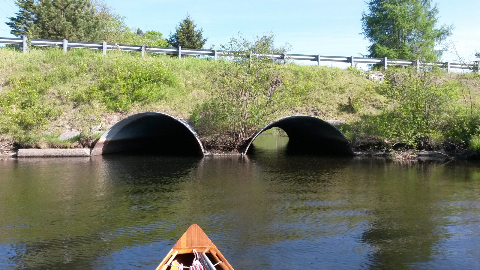
The “Tubes”
|
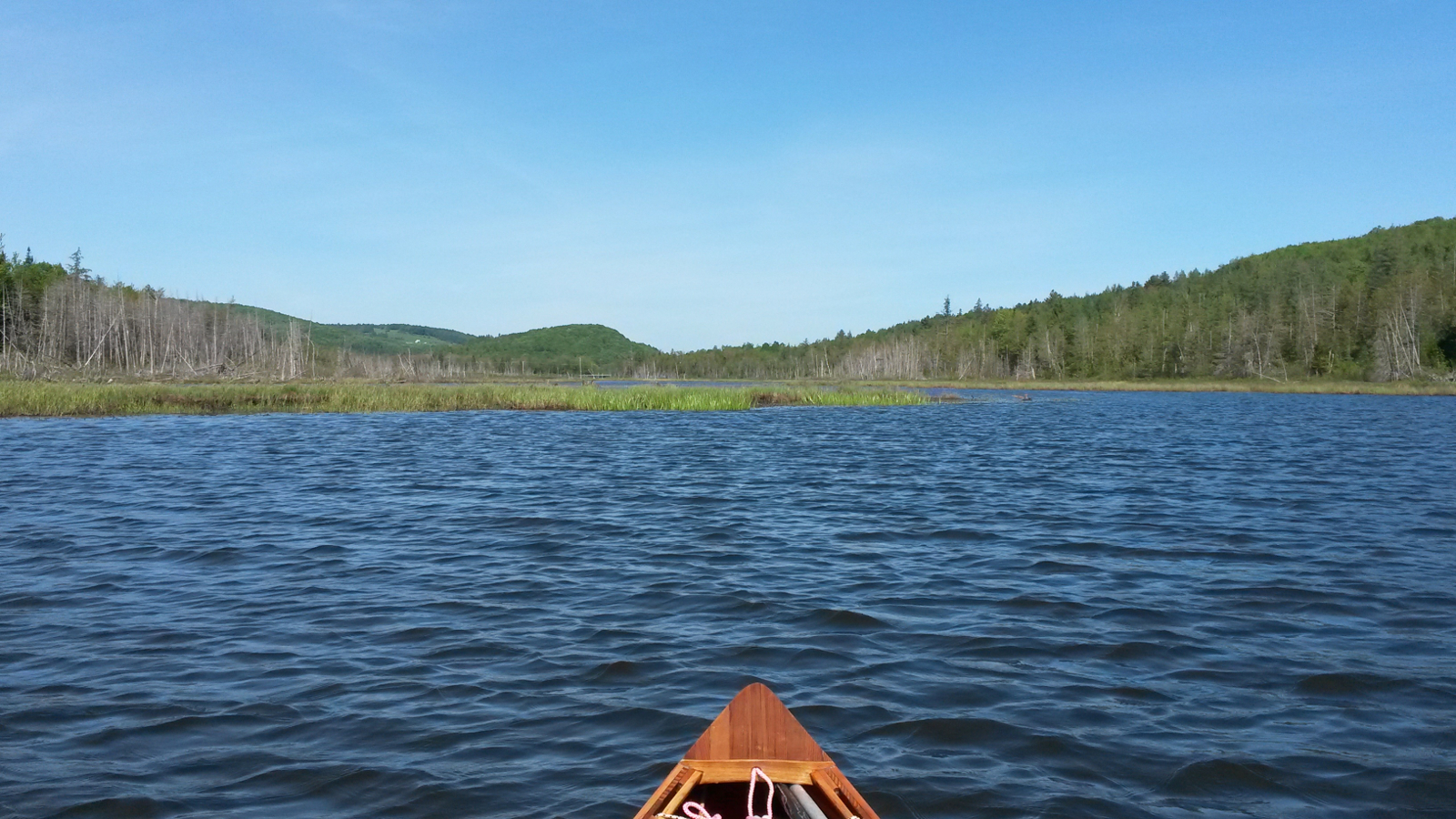
The fen
|
|
Continuing downstream I picked up the pace, thinking to head for Eagle Point camp-site on Lake Memphremagog. That would be a long day, but not
excessive, especially if largely downstream. But progress continued to be interrupted by downed trees. Those, together with the serpentine nature of
the river, made it difficult to maintain momentum. Pensioner Pond took an eternity to appear, but was soon crossed. The carry past Great Falls was
straightforward, once I decided that I should follow the road rather than tracks around buildings. Charleston Pond zipped by, and the next carry
brought me to a decision point.
|
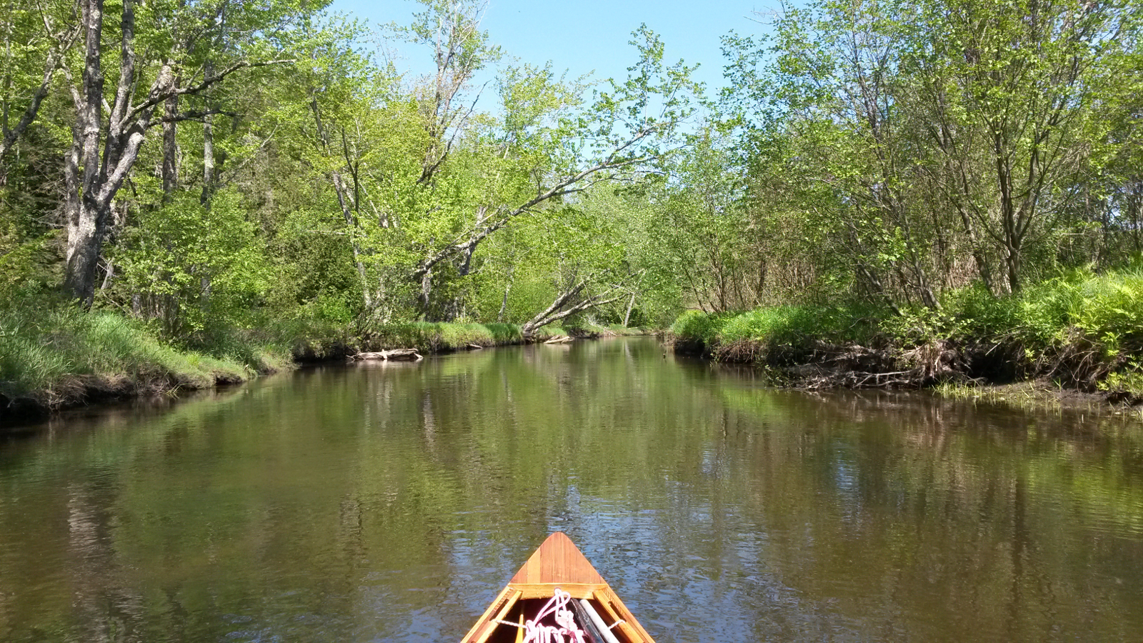
Typical Clyde River
|
Charleston Pond
|
|
Here I made in quick succession a very poor then a very good decision. The poor: at the put in by the hydro plant above the Fontaine Road bridge the
rapids were on the edge of what I considered runnable in a wooden canoe, yet I launched anyway, that being preferable to more carrying along the
road. About 15 yards downstream I could then see how steep and bony the next drop was. The good: without hesitation I jumped out of the canoe, got
feet on rocks, and hauled the canoe to the bank on river left. That decision saved almost inevitable damage. I was now in no-man's land. Wading back
up to where I had put in would be a severe challenge, and scouting ahead told me that the rapids there were not a viable option. The solution was to
find a way to the road. Scouting away from the river brought me to someone's back yard. It was time to knock on the door and ask permission to carry
through to the road, permission graciously granted by Jim. I emerged just downhill from Scamp's Deli.
|
“almost inevitable damage”
|
Below Lake Salem
|
|
It looked as though I was in for a long carry along the road, yet in about two-thirds of a mile I found a driveway that led to the river, which
looked paddlable (from my vantage point a couple of hundred yards away). I followed this path, found no-one from whom to ask permission, and
launched without further ado. The river here was shallow swift-water, but deep enough to paddle. This continued with a few runnable riffles, until
slackening and giving way to Little Salem Pond. Passage across this pond and then Lake Salem was wind-assisted – most unusual, but very
welcome.
Once north of Lake Salem the river became rocky once more, with ever larger riffles, until, at the first bridge, I decided that common sense should
come into play. I had run much of the Clyde and avoided damage, so why risk it now when I was beginning to tire? I took out, not realising that the
intended take-out was just a few yards away around the bend. That decision ended up costing me a longer carry. My notes had directions from the
intended take-out, but not from this bridge. After some cogitation, I started carrying along Route 105 and soon encountered the end of West Street.
My notes told me to take West St to its north end and then turn left on to Route 105. As I was not aware of just how close to the take-out I had
been, I assumed that I was now at this junction, so continued on Route 105, as if I had emerged from West St and turned left. It was only after
following this road farther than I believed I needed to that I realised my mistake – I had seen the south end of West St. Checking the map, it
now made more sense to continue around two sides of a triangle instead of the intended one side. That eventually brought me past the north end of
West St, where I duly kicked myself for adding 0.4 mile to the carry (as determined by timing). My route then took me south on Crawford Rd towards
the dam, and right on Clyde St, down to the bridge, where I re-launched to paddle the last part of the Clyde River through Newport into Lake
Memphremagog, arriving about 5:30 pm.
Eagle Point was a good 2 hours' paddle away, so I forewent a tentative plan to have a meal at the Marina Cafe and headed north, still with the aim
of reaching my intended destination. As I paddled, though, the camp-ground at Prouty Beach began to look ever more inviting, and, after just over
10 minutes of paddling, I abandoned the idea of Eagle Point. Now I would be close enough to have dinner at the marina and still be camped before
dark, so I pulled a U-turn and headed back to to the marina, moored the canoe to the dock and went in search of a meal. Unlike 5 years ago, the
Marina Cafe was not open. Having changed hands, it was now open only in the middle of the day: 11:00 am to 3:00 pm. Thwarted, I untied the canoe and
headed north once more, having wasted nearly half an hour.
As I landed at Prouty Beach a young boy proudly showed me the 7 lb pike he had landed earlier. I soon found a place suitable for a hammock, but was
less successful in my search for somewhere to register and pay, so I cooked and ate a meal, had a quick wash in the lake, including soaking my feet
in cool water for a while, which felt very good, and then strung up my hammock. For a long time there were no bugs, but eventually mosquito hour
arrived, persuading me to get ready to retire to the hammock. The evening was not over, however. Having gone in search of a bathroom, I made the
joyful discovery that this camp-site has hot showers included in the admission fee, so I luxuriated for a while. Of course, all of that would be
undone on the Grand Portage tomorrow. I hoped to get an early enough start to complete it before the heat of the day. Also on tomorrow's itinerary
was a visit to a real bakery in Mansonville.
|
|