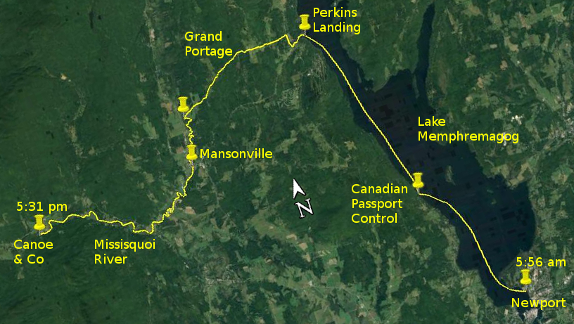
Day 18 route on Google Earth imagery
|
|
Last night was humid, undoing much of the benefit of the shower, and making sleep difficult. I was awake early and emerged into a clear dawn. The
south wind had continued all night. I was packed and away by about 6:00 am, with the sun rising over the eastern shore illuminating Newport behind
me, as well as the entire western shoreline. Taking it easy I probably made about 4 mph down the lake, aided by a tailwind, but the farther north I
progressed the more the swell, at an angle to my stern, made steering difficult. Just occasionally there was a wave large and steep enough to
surf.
I crossed to the western shore in order to visit the Canadian customs post. This consists of a small hut on a small wharf on the lake shore with a
telephone inside. There I had a relaxed chat with a Canadian official at the other end of the line. It seems that all boats require a name to enter
Canada – there is clearly a field on the form that requires content – so my canoe is now officially, and perhaps forevermore, known in
Canada as “Peter's Canoe”. Furthermore, the colour is listed as “wood”.
|
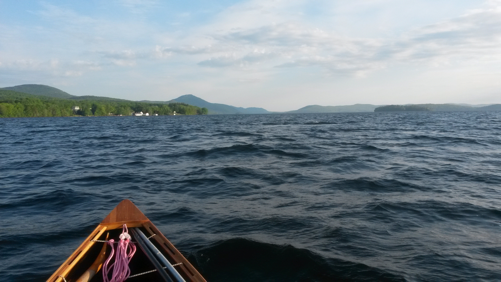
North on Lake Memphremagog
|
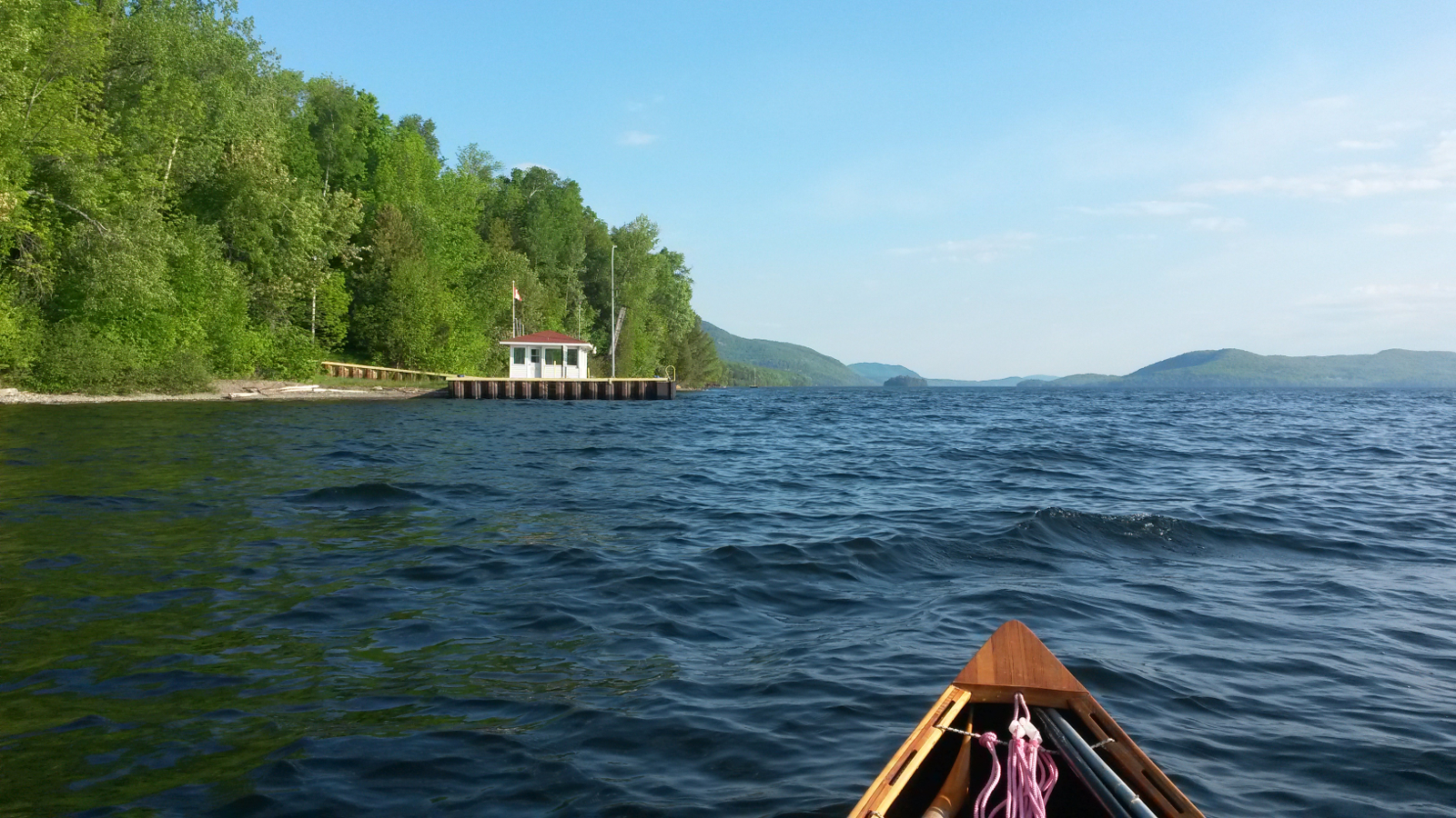
Canadian Customs
|
|
Another 6.4 miles of paddling north brought me to Perkins Landing, where the official showed an interest in my canoe and my journey. We chatted for
some time in a mix of French and English, rivalling each other for how much each of us could butcher the other's native tongue. At 10:00 am I set
out on the Grand Portage, 5.7 miles uphill then down to reach the Missisquoi Valley. Less than a mile into the carry, as I turned left on to Chemin
Peabody, a man with a truck pulled up, offering me a ride. He lived in the house nearest to the other end of the carry, so knew exactly where I was
heading. I have to admit that this was a tempting offer: the distance remaining was long and the day was already hot. But my pride in being
self-powered won the tussle in my brain, and I graciously declined the offer. I once more carried in 1-mile stints, each 20 minutes. Uphill this may
have been a little less than a mile, but downhill stints would be longer. Despite the best efforts of the wind, now a crosswind, to swing the bow of
the canoe around as much as possible, and despite new surfacing being laid on Chemin Peabody making it soft underfoot, I completed the carry at 3
mph pace.
|
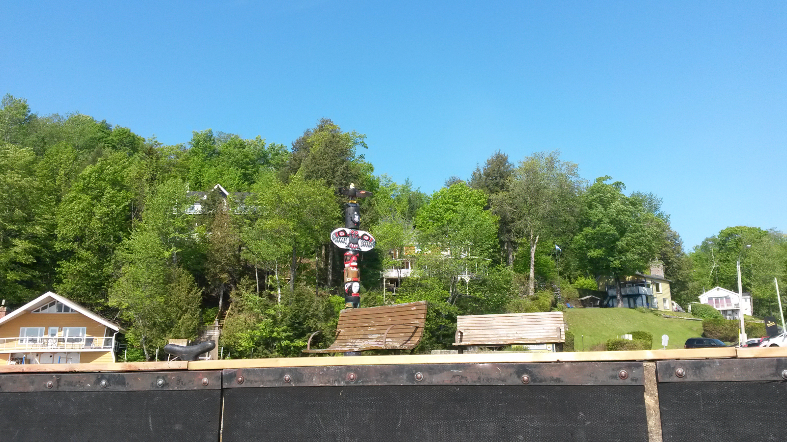
Perkins Landing
|
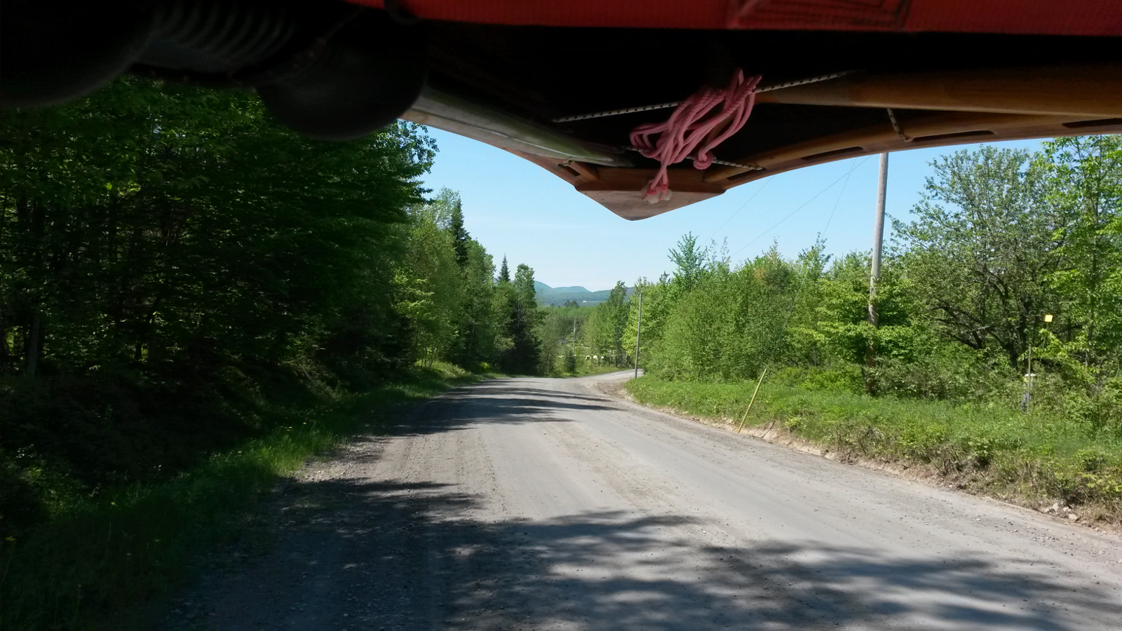
On the Grand Portage
|
|
Arriving at the Missisquoi, I was truly shocked to see a rocky weir just downstream of the bridge. This had been thoroughly covered last time I was
here. After a break in the shade under the bridge, I put in and paddled down a frustratingly shallow North Branch of the Missisquoi River, my final
downstream of any significance (only the short Stony Creek would remain after this river).
|
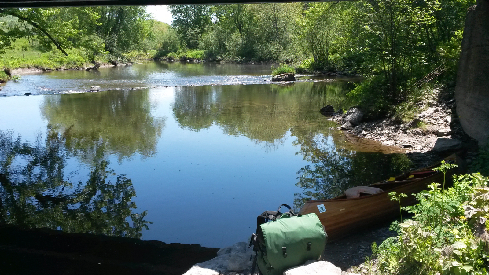
Put-in from the Grand Portage
|
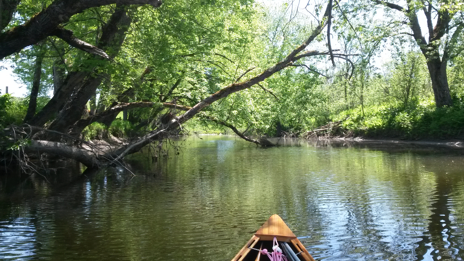
North Branch Missisquoi
|
|
Before too long I arrived at Secteur Nautique in Mansonville. The climb from the river to the road was entirely too soon after the Grand Portage for
my legs, which duly complained, but they warmed up and carried me to a very pleasant town green. Here I dropped everything in the shade, and had a
lazy hour or two. Opposite were the Owl's Head Bakery and a deli. A loaf of real bread, a litre of fruit juice and a not insignificant ice cream
revitalised me as I sat in the shade, chatting to the occasional local who was attracted by my canoe.
|
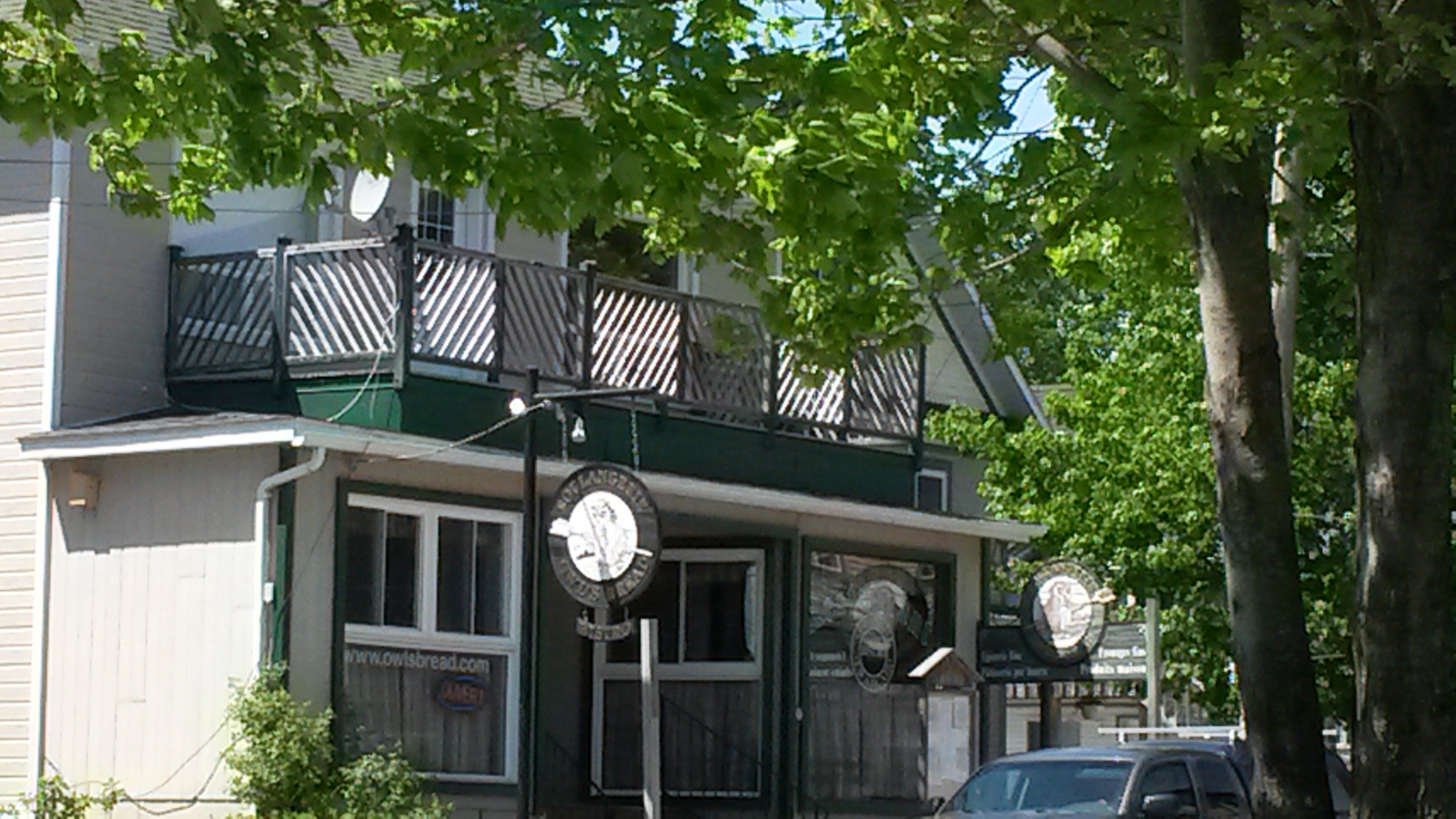
Owl's Head Bakery
|
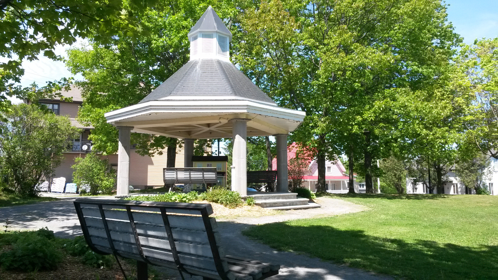
The green in Mansonville
|
|
Discovering that my phone, which does not have an international plan, had service there, I called Ray and Hildy to let them know the border crossing
news, and Viveka to discuss pick-up options for tomorrow. We had planned to meet at Richford, and had reserved a room at Grey Gables B&B (of course!)
but it seemed to make sense for me to progress farther downstream while on a roll and to meet maybe at Enosburg Falls. That would ease the pressure
on Sunday after a day off, getting back to the trail in order to complete most of the rest of the Missisquoi. At 3:00 pm I moved on, completing the
portage through Mansonville and continuing down the North Branch.
At some point either a branch or the wind removed a lightweight pack-towel which I was using damp as a cooler around my neck (that's something I
didn't need 5 years ago!) When I noticed it was gone, it was too late. As with the ski pole on the Allagash, I was annoyed to have lost something
useful and also to have been guilty of littering. Where North and South Branches merged I turned right to continue down the Missisquoi. This was
about 6-8 feet below the level it had been at when I ascended it 5 years previously. I could pick out trees that I probably paddled through or
behind on that occasion. Now I paddled between steep, high, muddy banks with no view. Highwater camp-ground appeared on my right, and a golf cart
was being driven where previously I had waded through water.
It being still quite early, I decided to push on to Canoe & Co in Glen Sutton, shortening tomorrow's push, or allowing a rendezvous farther
downstream. The river was now deeper with occasional riffles, so progress was quicker. François at Canoe & Co recognised me – or
rather my canoe – as the one which had poled up his lawn 5 years ago! This time I climbed out on to a muddy bank and scaled stone steps to
reach the same place.
|
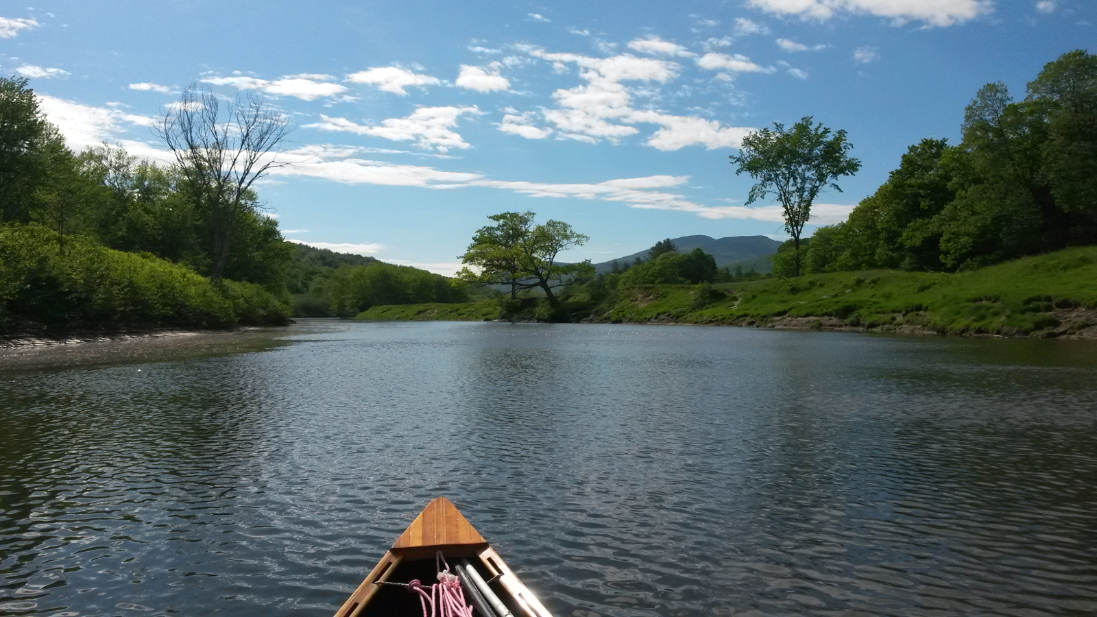
Missisquoi River
|
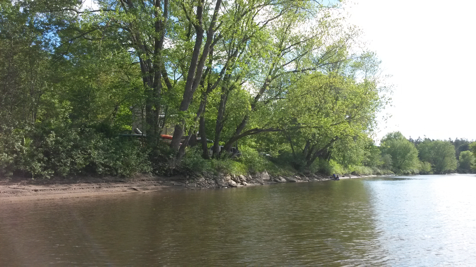
Approaching Canoe & Co
|
|
I spent a sticky evening cooking a meal, chatting with François and also with Russ Ford who tracked me down, as previously, from my SPOT
waypoints, even though he had to come farther afield than Richford this time. As tomorrow's forecast was for thunderstorms and high temperatures, I
made the decision just to get wet, rather than trying to keep the water off. That would give me an opportunity to turn up at Grey Gables looking
like a drowned rat, just like last time, but not so hypothermic.
|
|

