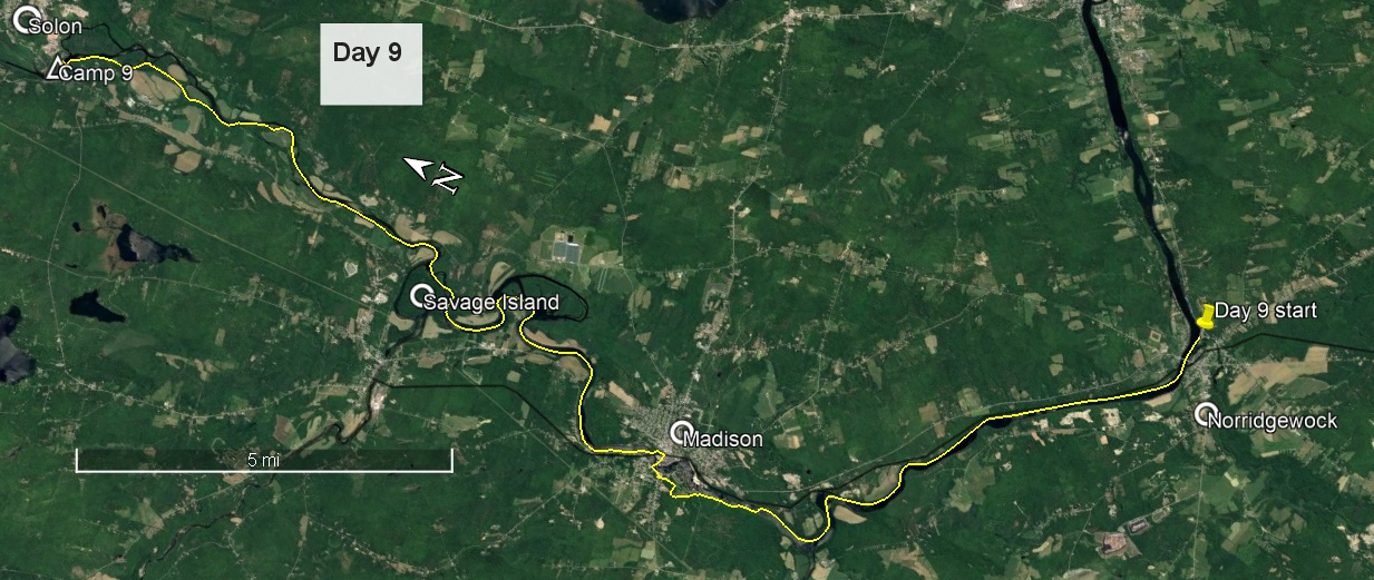
Day 9 route on Google Earth imagery
|
|
I could have done without the motor cyclist racing up and down the main road, clearly red-lining all the way, at about 2:20 am. I didn't get much sleep after that. Being resolved to start early and not be caught camping where maybe I shouldn't have, I was up soon after 4:30 am, well before sunrise, and made quick work of packing and breakfast. Before 6:00 am I was paddling west with the rising sun behind me illuminating the bridges of Norridgewock ahead of me, a gorgeous arched road bridge and a more traditional rail bridge. The reflections were perfect. The going was easy, and I kept to river-left in the shade as the river turned north, planning to enjoy the sun later.
|
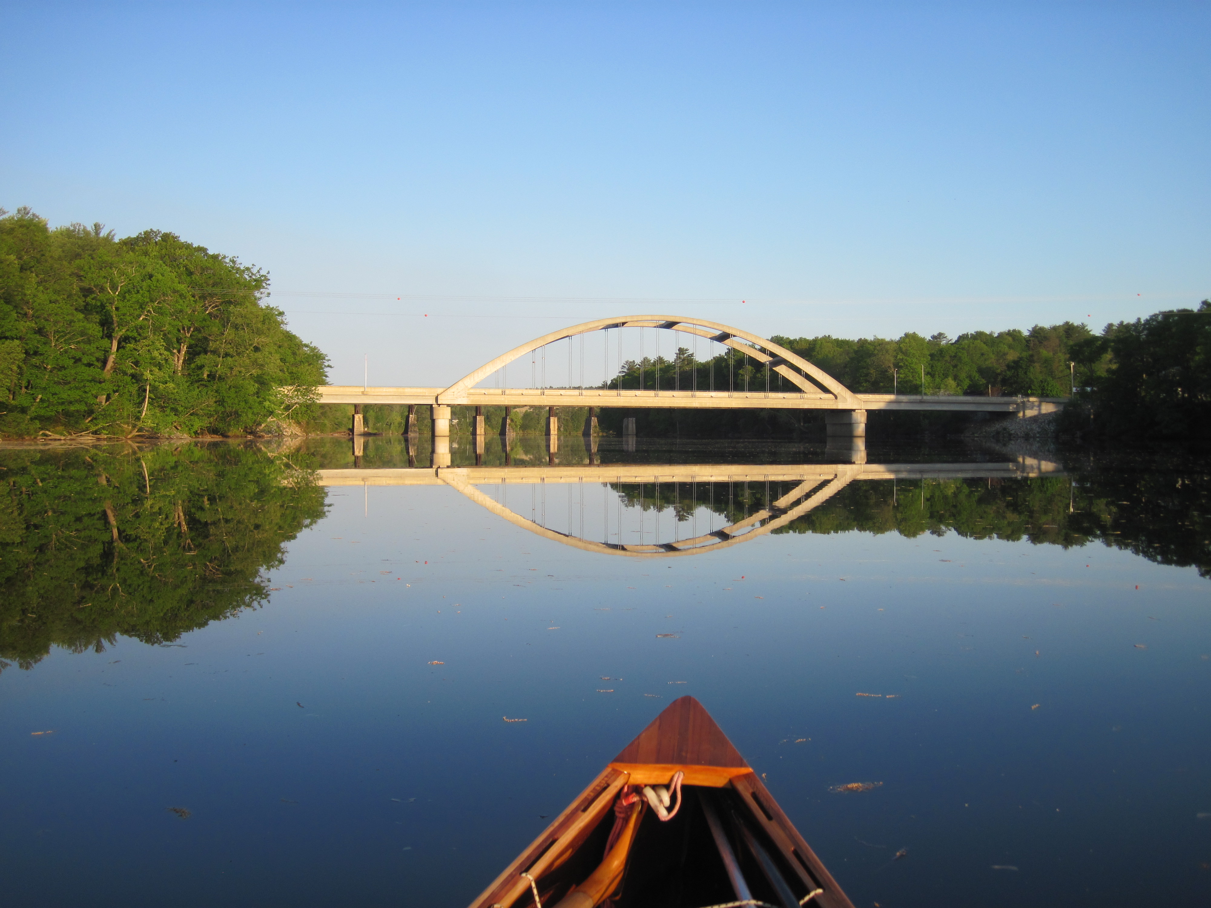
Norridgewock bridge ...
|
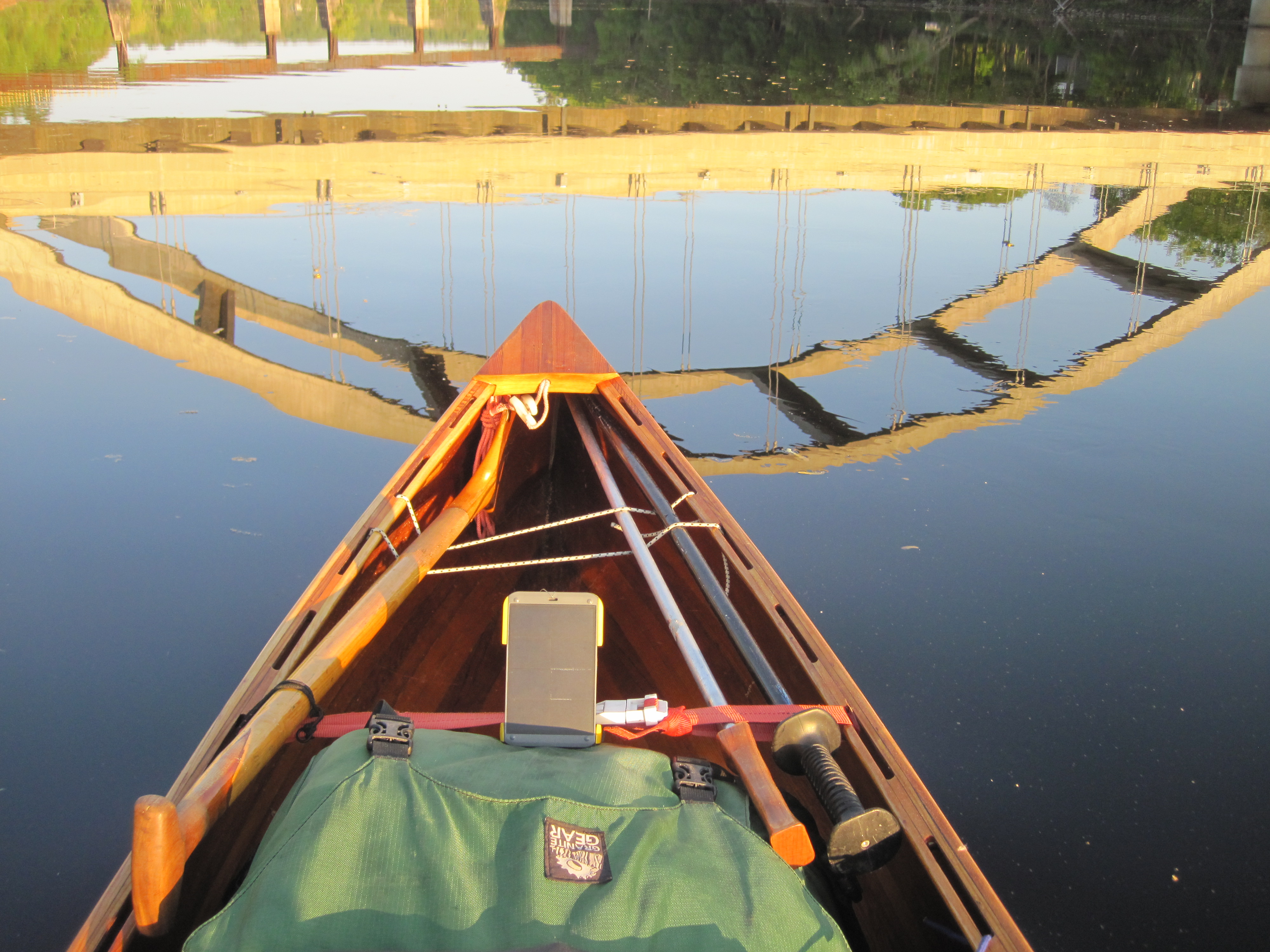
... in morning sun
|
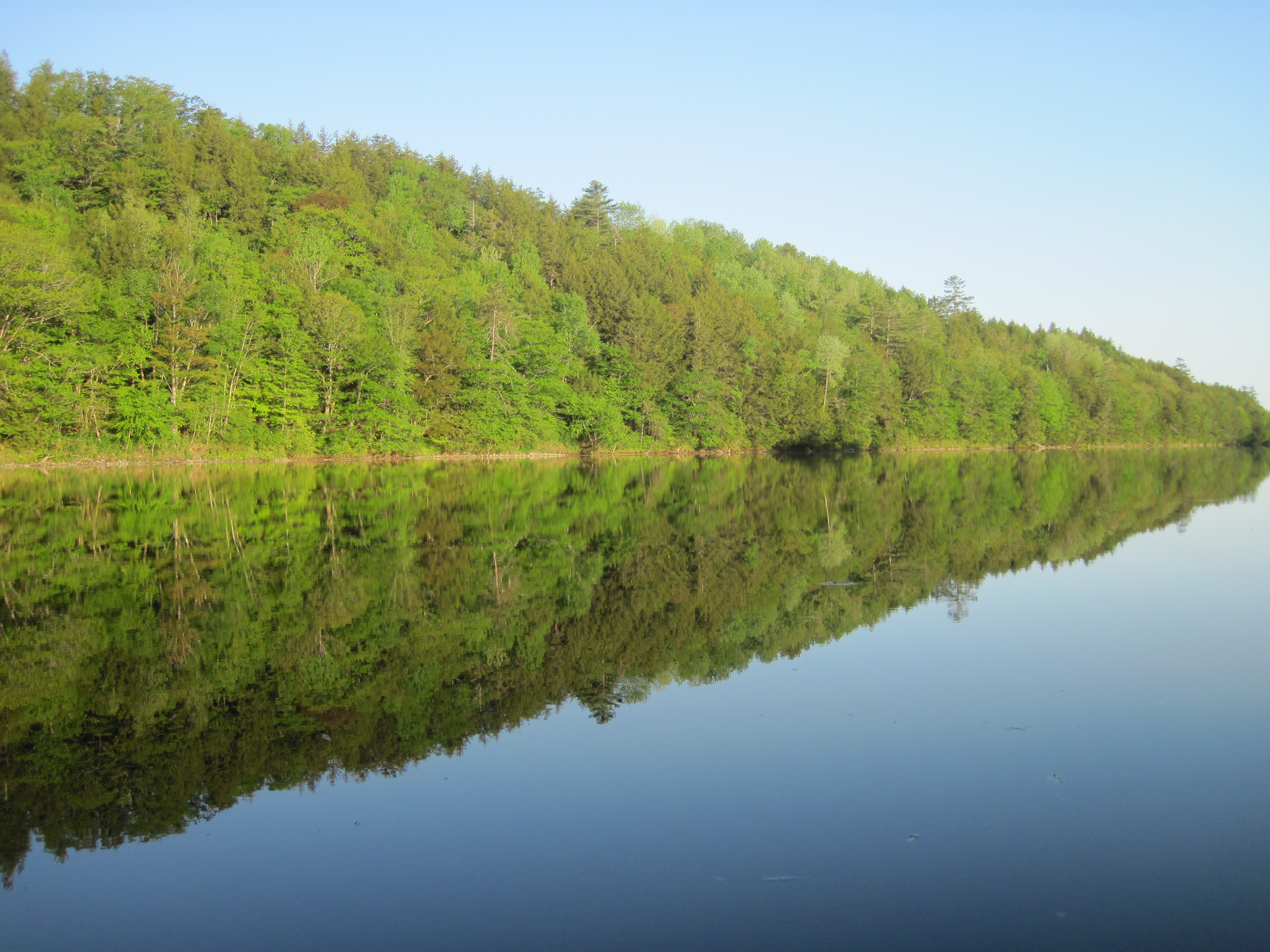
Kennebec valley - slack water
|
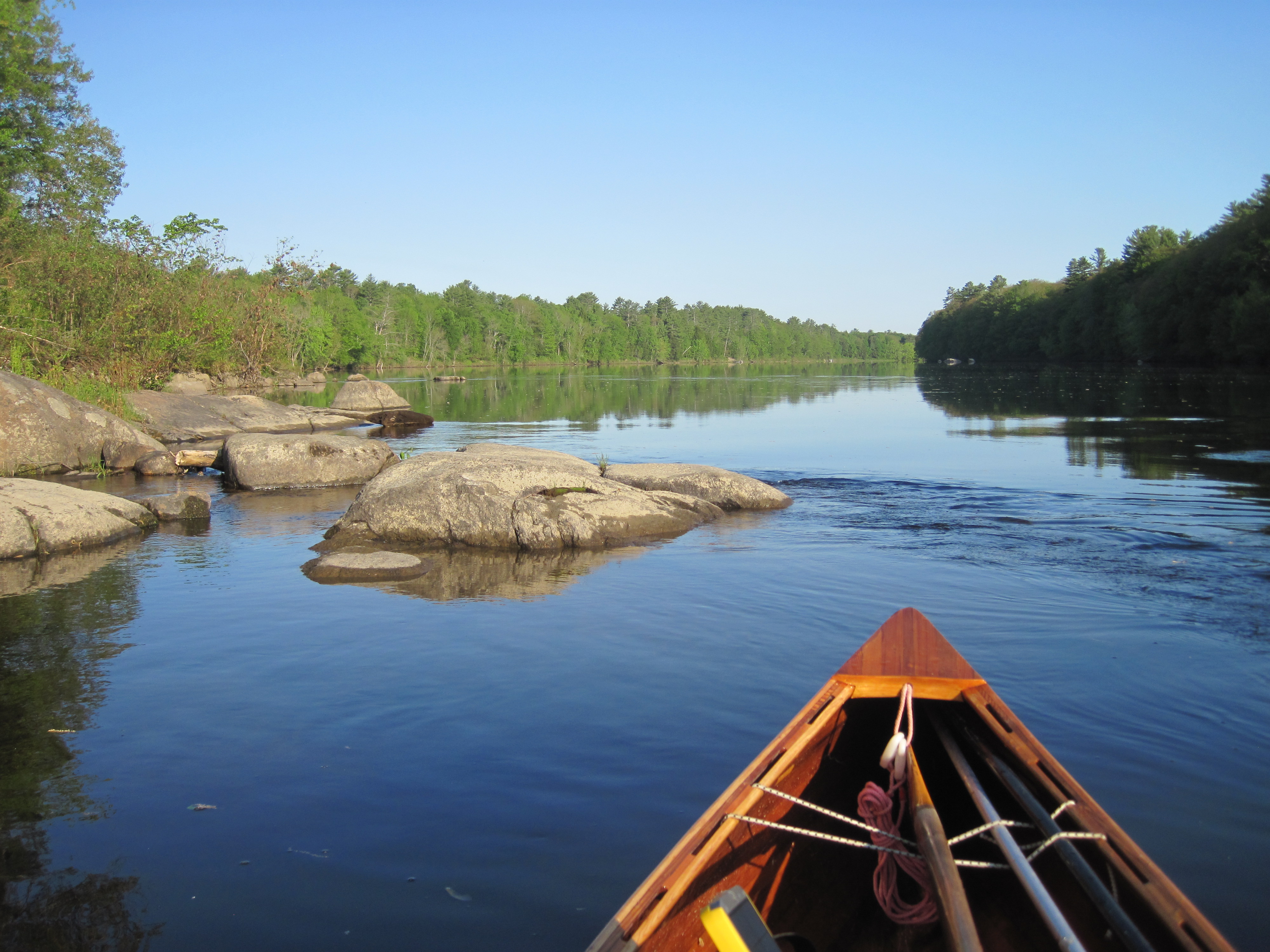
Kennebec valley - faster current
|
|
I was all set to complete the 8.2 miles to the take-out to carry around the dams in Madison, but the last half mile or more put the brakes on my progress. The rapids, the largest and most powerful yet on the Kennebec, presented a challenge. Poling where the force of water was not too great, and wading where necessary, together with a little paddling, mainly just to cross the river by an energetic ferry-glide, slowly brought me upstream. Eventually some fishermen gave me the good news that the take-out was just 200 yards ahead. They weren't wrong, but this still took considerable time, mainly poling along the shallows by the bank.
|
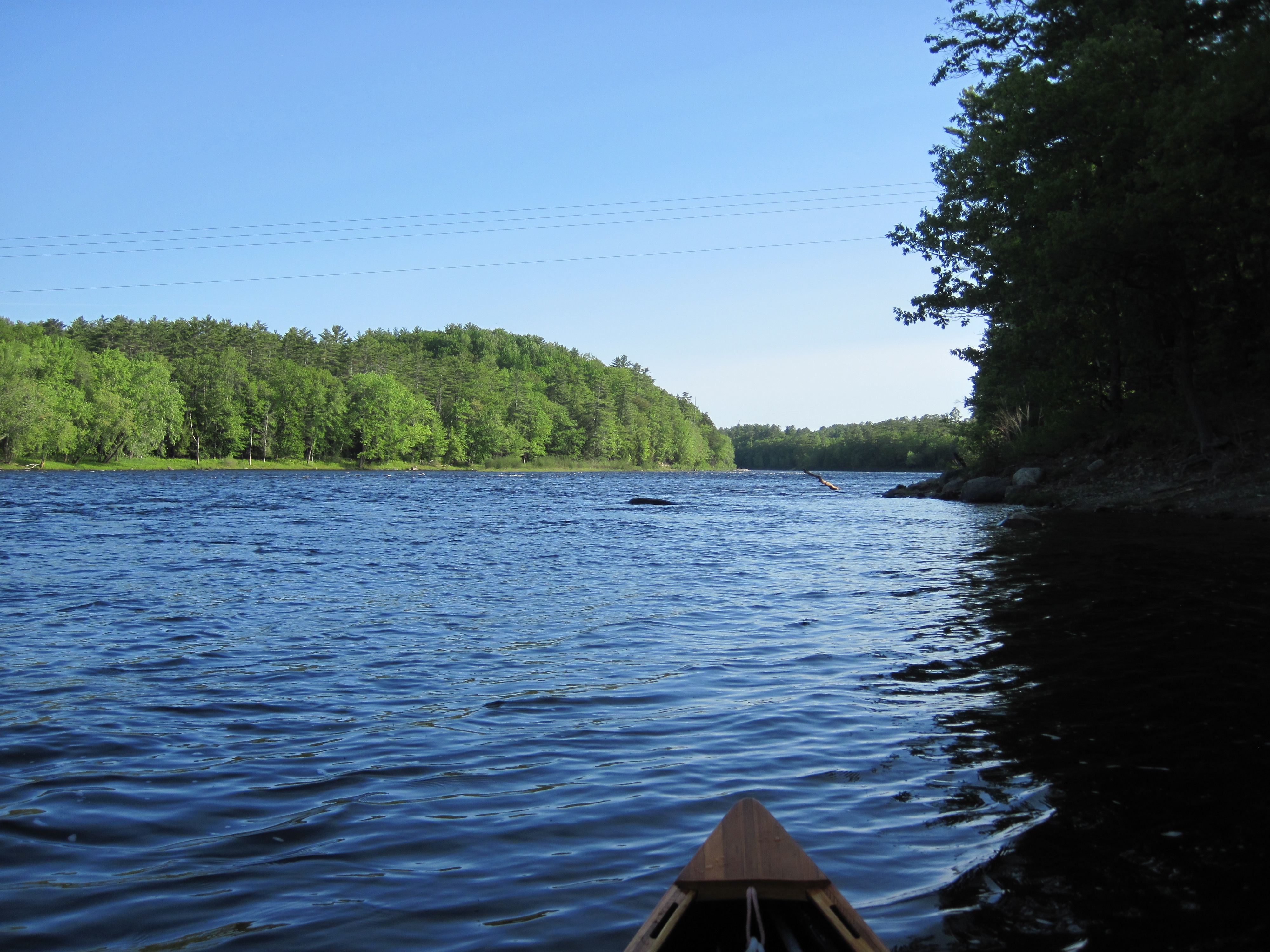
Kennebec valley - faster and shallower
|
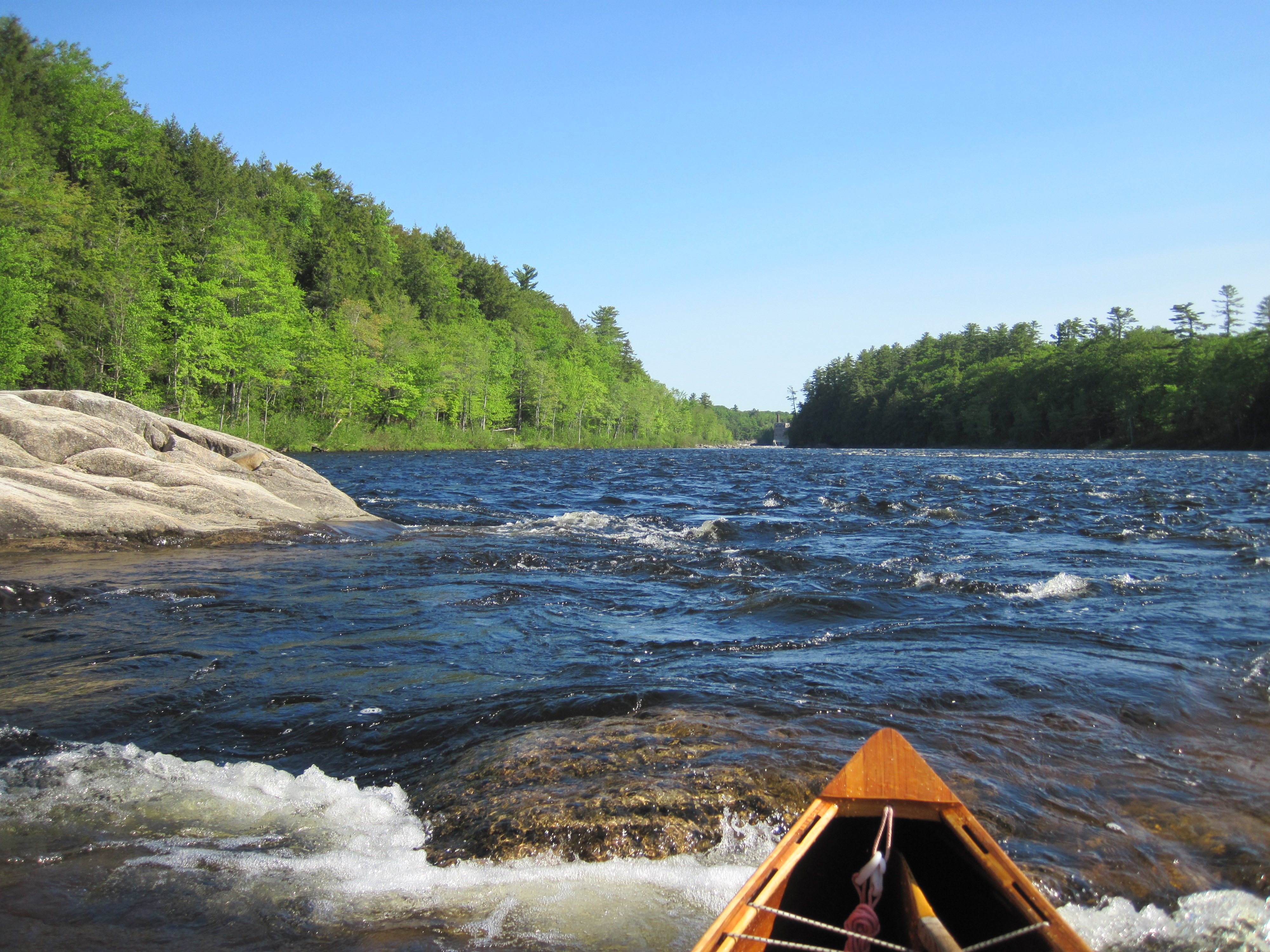
Approaching Madison Dam
|
|
My original plan had been to reach the upper of two boat launches by water in order to shorten the carry by 0.4 mile. Now I was happy to carry the extra, and, looking at the rapids from the carry trail, this was definitely the right decision. The road seemed to wind endlessly, following the outside of the fence around the dam owner's property. Finally it spilled me out near the centre of Madison, where, near the Post Office, I turned right on to Main St. A Memorial Day ceremony was in progress. In the Post Office car park was a car whose registration plate I recognised, belonging, I believe, to a dance caller I have worked with. Turning right over the bridge brought me to an uphill that I had not foreseen, but then I turned left behind some buildings to an easy put-in near the rail bridge.
The going above Madison was initially easy in the slack water behind the dam, but the north wind, still in my face, was an irritation, and the current towards Savage Island increased. Above Savage Island, where the Carrabasset River joins the Kennebec, the character of the river changed markedly. The gradient increased, the bed became correspondingly more stony, and the water depth decreased. I was largely in fast, shallow water. The poles came into use, carrying me more than half of the next 7.6 miles. I had been trying to dry my boots in the sun, but at one point, with fatigue setting in, I put them back on again in order to wade. The time taken to do this, however, allowed me sufficient recovery to continue poling, so the boots did not immediately become soaked once more.
My route took me past several islands, guessing at the channels that might offer least resistance, sticking largely to river-right. Rounding a left bend I espied a boat landing and stacks of canoes. My hunch that this might be Evergreen's Campground in Solon proved correct, so I pulled out and went to check in. The owner, when she heard of the journey I was on, very generously refused to charge me for staying the night. She also advised that I could come farther upstream to a different take-out nearer to the camp-sites. I did so, and found a site with suitable trees, and set up camp. Next on the agenda was a long hot shower. Progress up the upper Kennebec had required hard work, so a stream of hot water over my shoulders was most welcome.
|
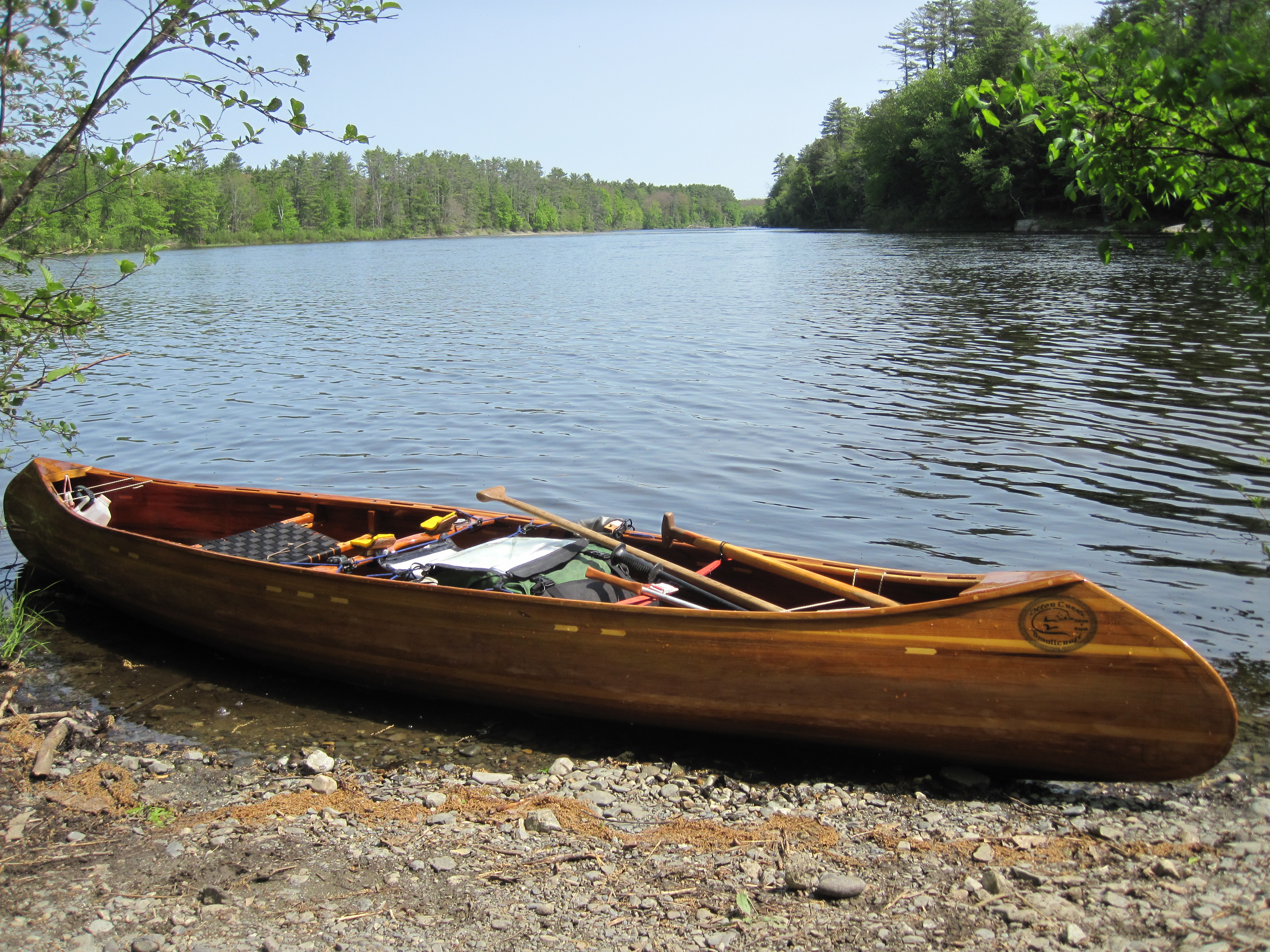
Arrival in Solon
|
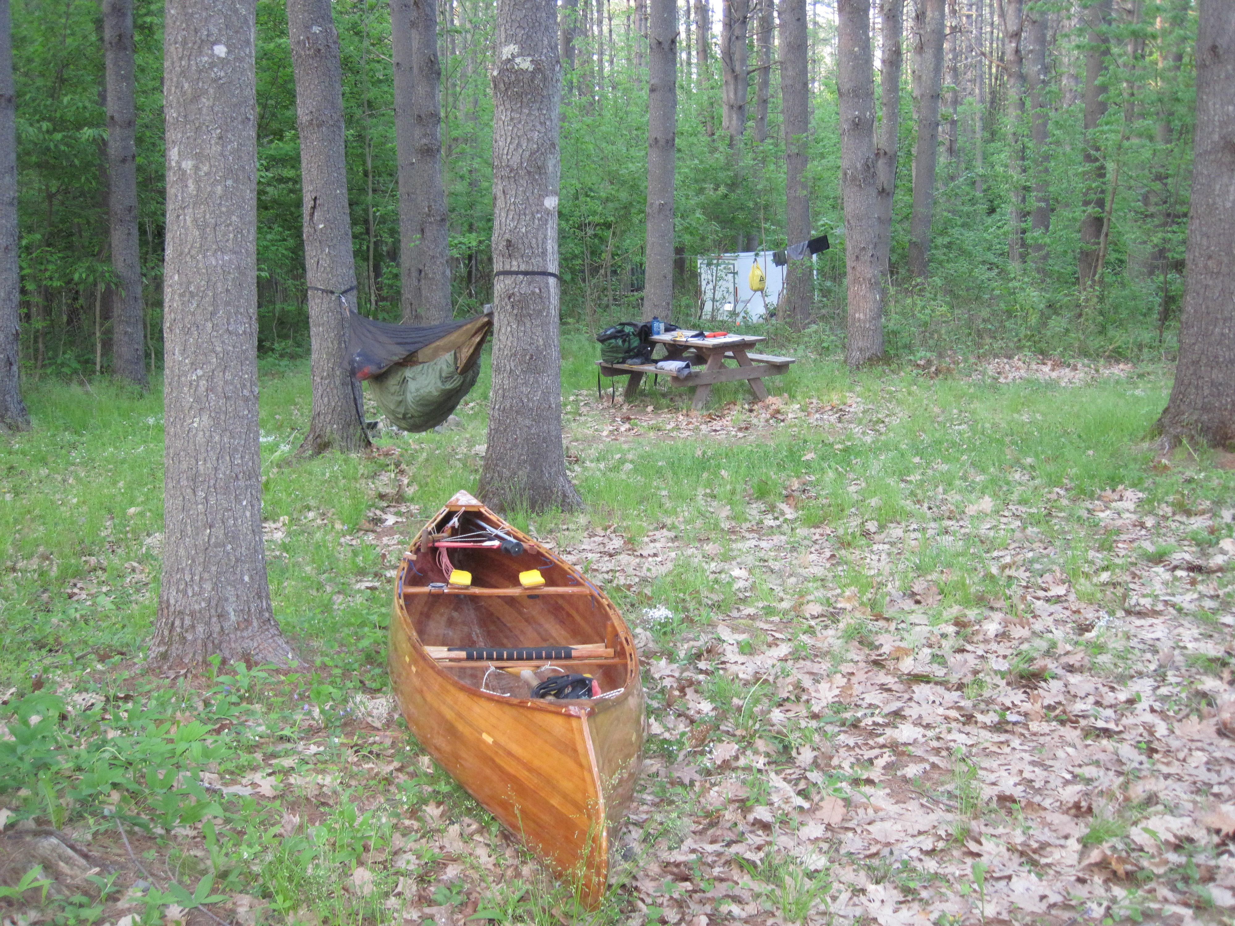
Camped at Evergreen's Campground, Solon
|
|
Now I sat waiting for Bob Donovan to show up, which he did at about 5:15 pm. He kindly drove me to a general store where I could pick up an ice cream, the second of this trip (Skowhegan was the first). Then back at the camp-site we discussed various details of portages, the North Branch of the Dead River, and the section of trail beyond Natanis Pond leading to the Canadian border. His mention of bushwhacking past certain obstacles did not inspire me, and made me think twice about pushing on to Arnold Pond. When he left I made dinner while swatting mosquitoes, which were out in full force. It was 8:00 pm when I retreated to the hammock for sanity and sleep.
|
|


