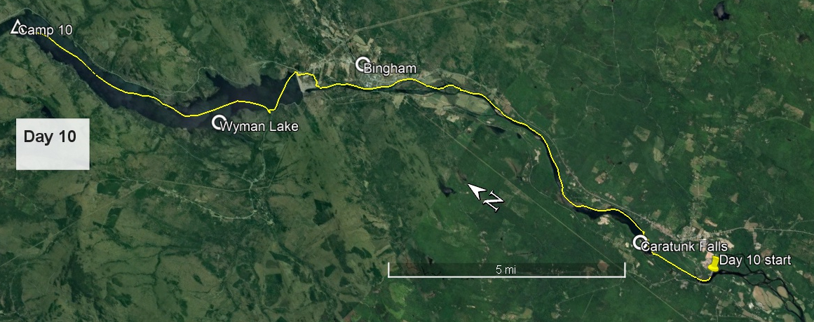
Day 10 route on Google Earth imagery
|
|
At about 4:00 am I realised that my plan to sleep with no shirt was a mistake, soon rectified. The night was colder than expected. I then dozed and lazed until 5:30 before braving the chill of the morning. One advantage of the low temperature was the absence, or at least inactivity, of the mosquitoes. Breakfast was unhurried, and so, after trying to thank my hosts once again but finding the office not yet open, I pulled away from Evergreen's Campground at about 7:30, poling in the shallows as quietly as I could to try to avoid waking my neighbours. Once past the Solon bridge I could paddle for a while, in fact managed to paddle all the way up a straight dredged channel all the way to Williams Dam. There was distinct current opposing me, but the depth of water allowed me to paddle strongly enough to overcome this.
|
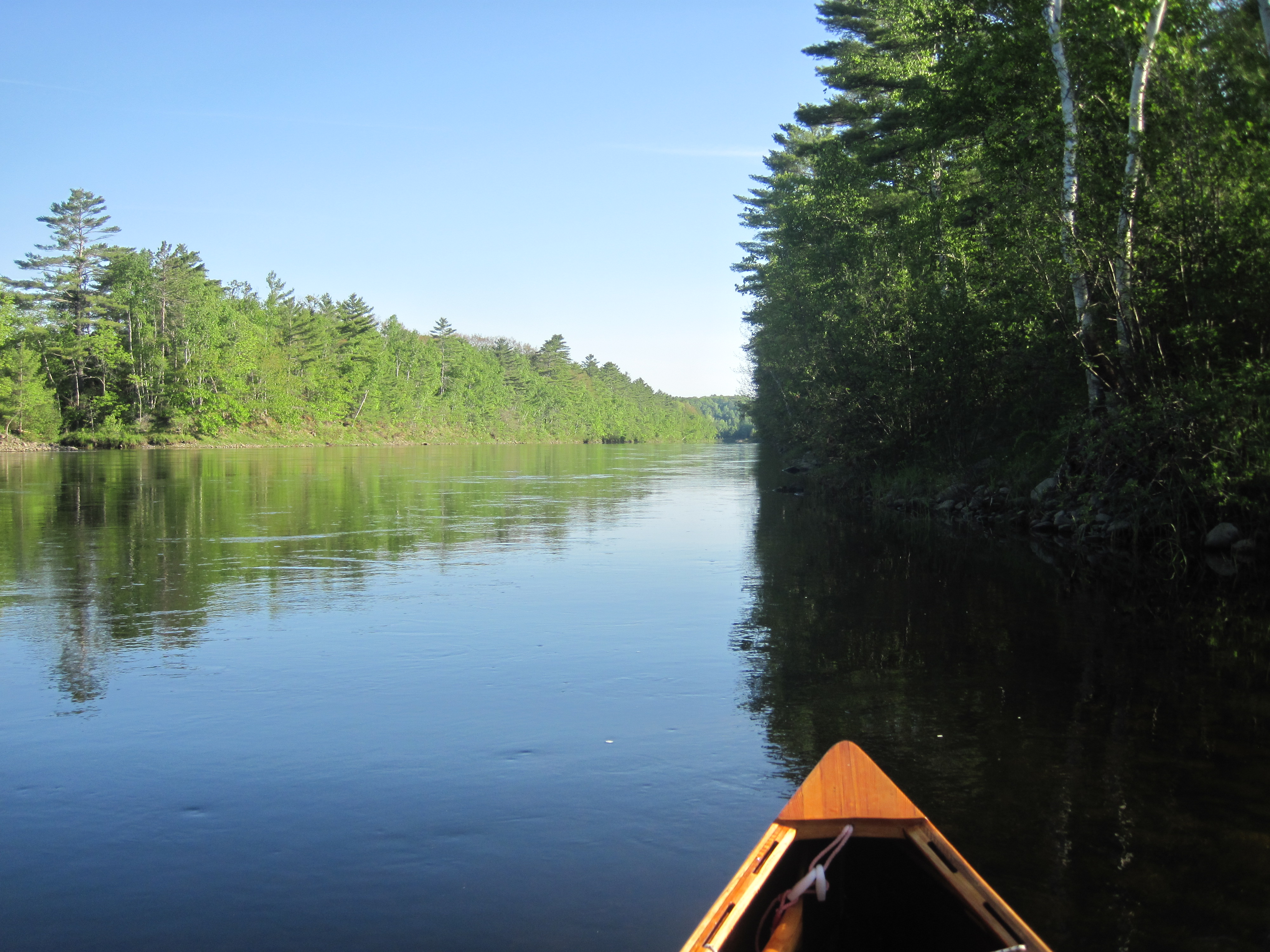
Dredged channel above Solon
|

Nearing Caratunk Falls
|
|
Some shallows near the dam required me to get the poles out once more, and I was soon up to some ledge which was recommended for taking out. Happily this was smooth, not the jagged rocks of a little farther up. The carry trail was clear, although I seemed to put in earlier than expected. I little farther on I saw a more distinct launch site. Above the dam was deep, slack water, ideal for paddling, and I thoroughly enjoyed the calm conditions in the morning sun. That was not to last: the gradient gradually increased and the depth gradually decreased. I poled most of the 7 miles or so to Bingham, and, unsurprisingly, was somewhat tired on arrival at the boat launch. Once again, the valley was very beautiful, and this would have made a glorious downstream run.
|
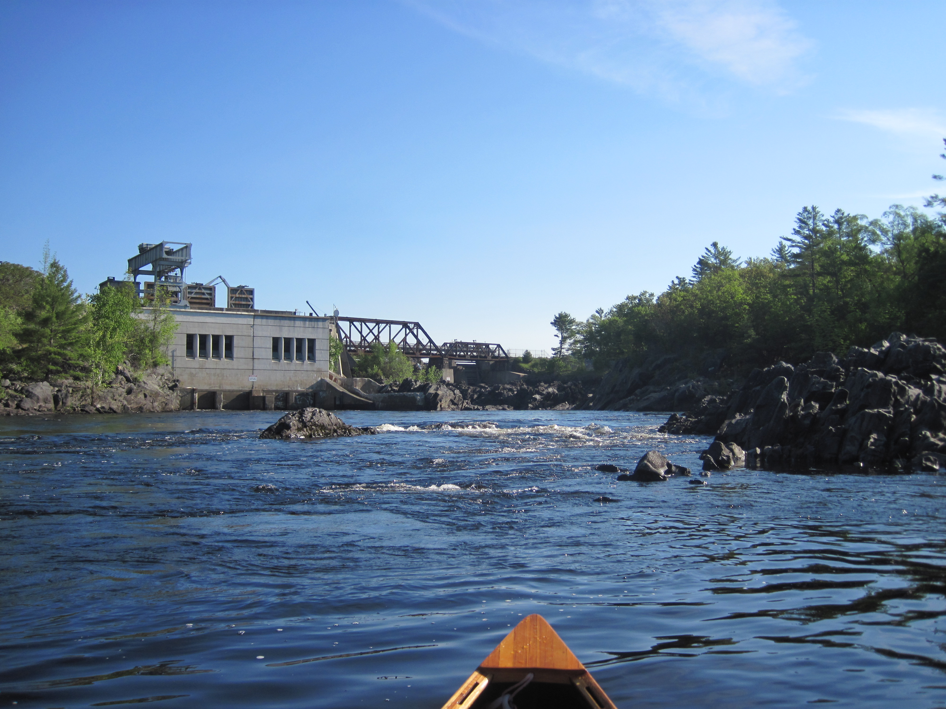
Williams Dam at Caratunk Falls
|
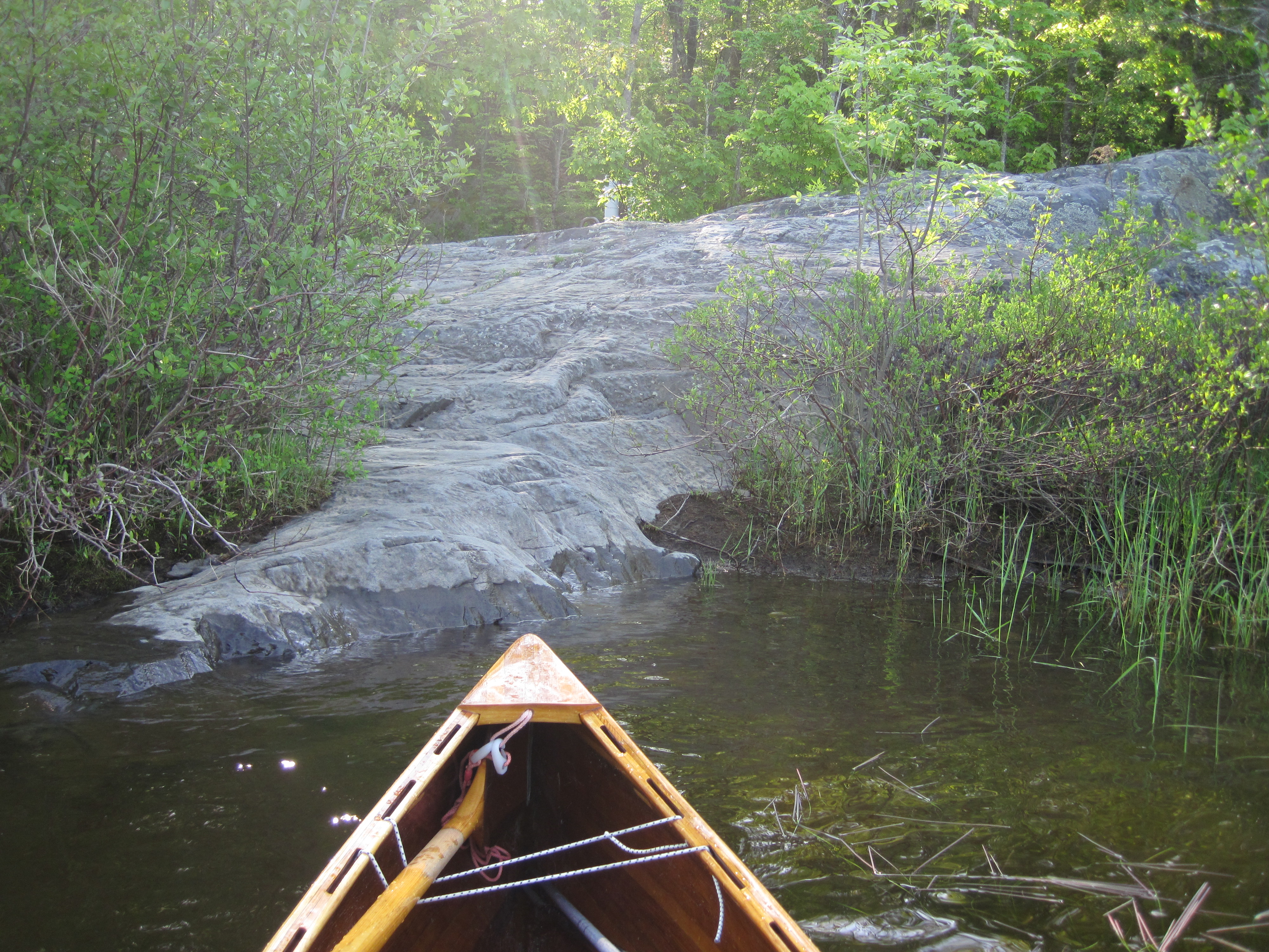
Take-out to carry around Caratunk Falls
|
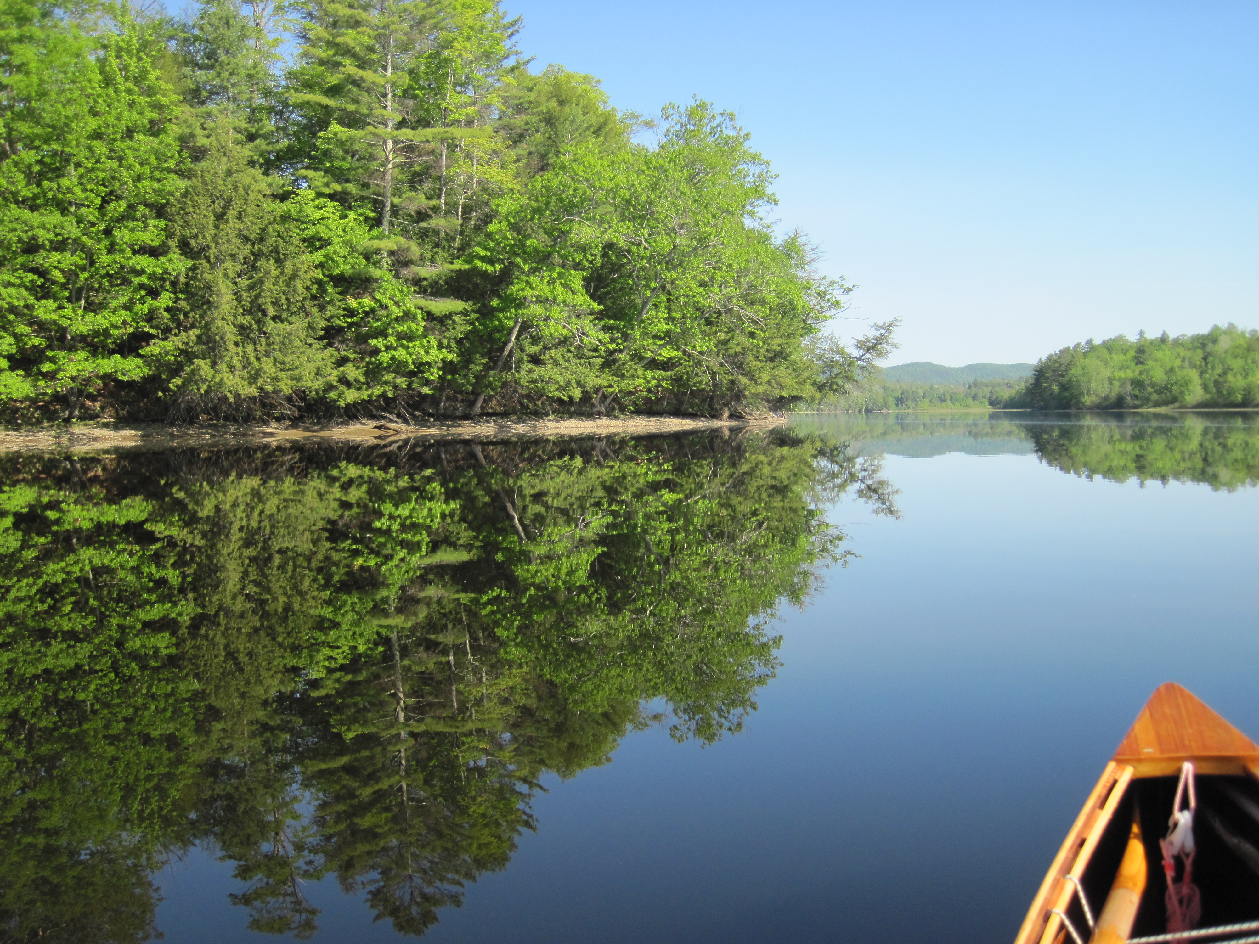
Slack water above Williams Dam
|
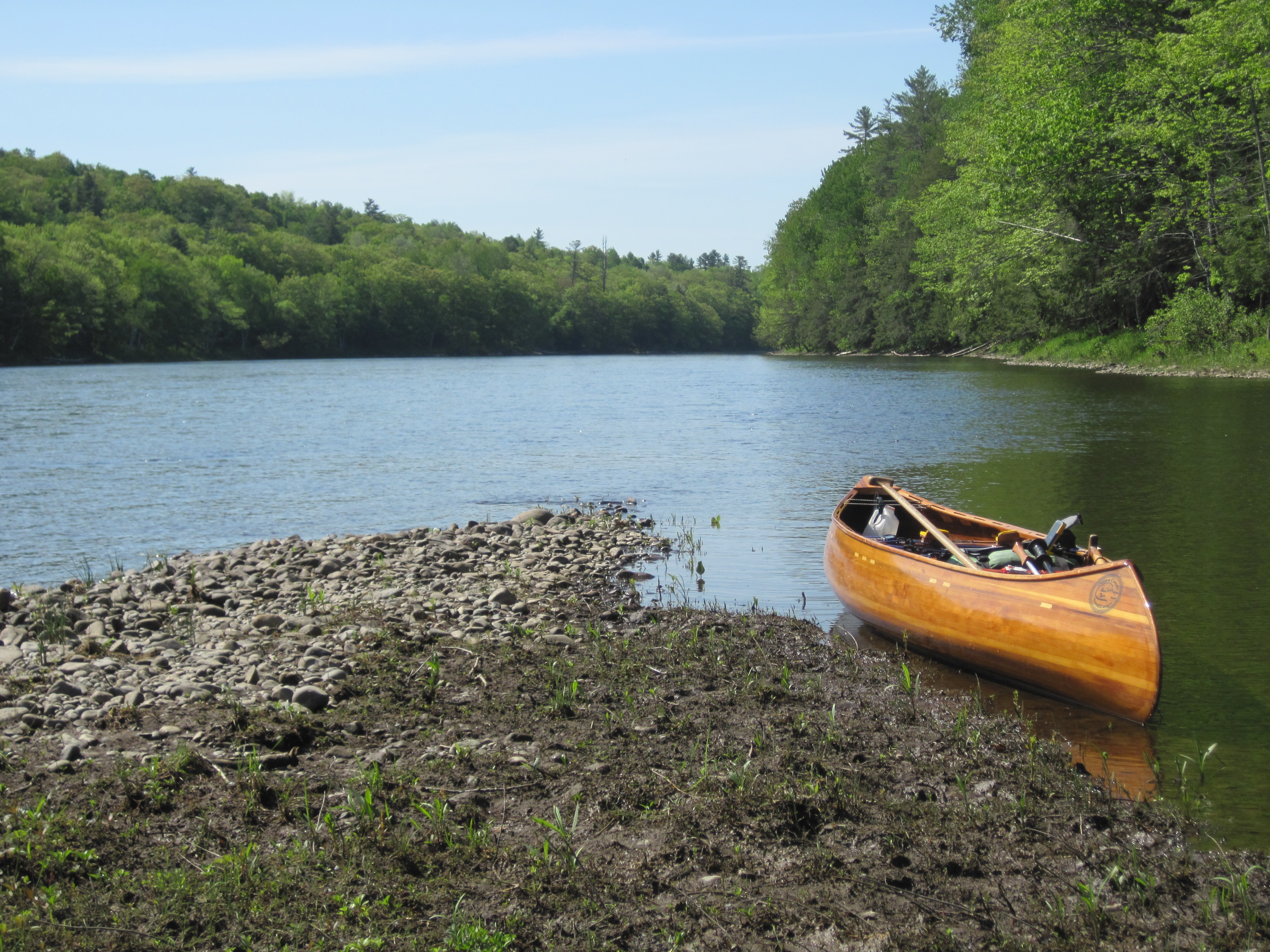
Taking a break
|
|
After cleaning the canoe I headed into town, grateful to be walking, a change of action. The Post Office lay on Main St, about half a mile from the boat launch. USPS had not let me down: the package that I had mailed for pick-up was sitting there. My food supply for the rest of the trip was assured. At the general store in Solon yesterday, I had noted that it was well stocked. In the event of my food package not having arrived, I would have found a way to return to Solon to buy food there. That contingency plan was now rendered irrelevant.
In sending a message from Bingham, confirming successful re-supply, I noticed that my mobile signal was much weaker than in Solon, so forewarned my support crew that communications might go dark over the next couple of days. This was to try to forestall any concerns they might have had if my waypoints had ceased to appear.
The next 1.3 miles to Wyman dam involved yet more poling and yet more fatigue, and the take-out under the power lines was a welcome sight. The dam, a massive structure, loomed over me in a somewhat intimidating manner. The first part of the carry was up a steep, rough slope. There had once been some steps edged in wood, but these were now sadly dilapidated. I lugged the newly re-stocked pack and canoe up this steep slope and on to a road which climbed further, not surprising considering the height of the dam. I then followed this road, made the mistake of taking what I thought was a short cut, and rejoined the road and ensuing trail to reach the put-in.
|
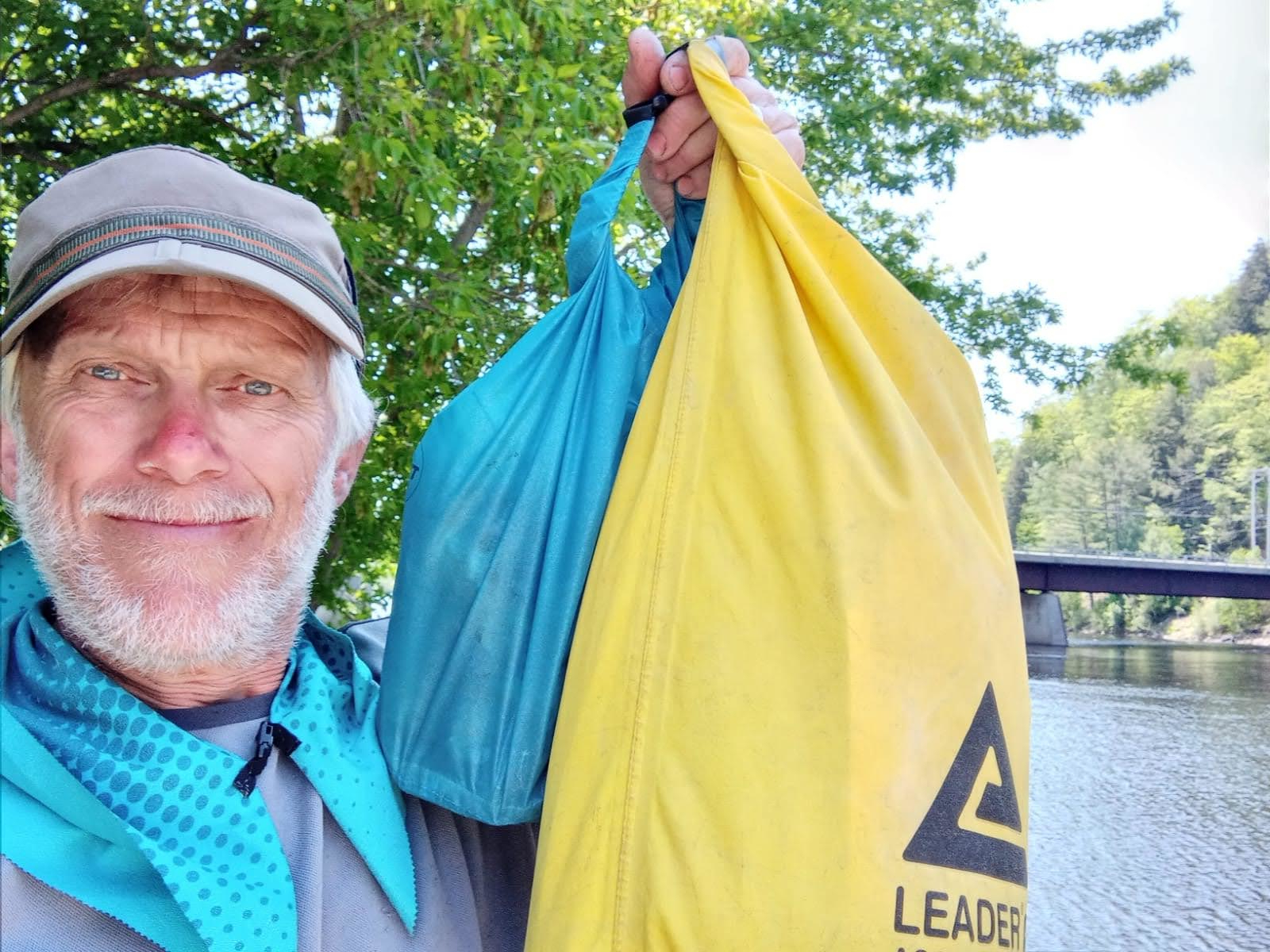
Resupplied with food in Bingham
|
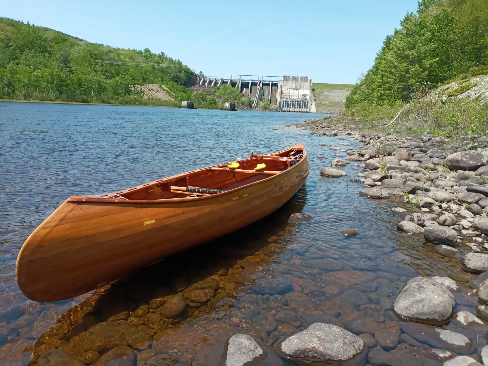
Wyman Dam
|
|
Ahead of me Wyman Lake stretched away to the north, a stunningly beautiful sight. And the wind, which had been hinting at a tailwind, now picked up, a distinct southerly. I crossed over the lake to the Pleasant Ridge Recreation Area, a delightful place with sandy beach, boat dock, shady pines and more. I was contemplating a swim, but chickened out. Without further ado I swung north, paddling gently, sometimes merely letting the wind push me. This was the least strenuous paddling yet, a reward for the hard work of the last few days upstream. I meandered up the lake, switching to the east side again to pass behind an island where I noted a camp-site with a picnic table.
|
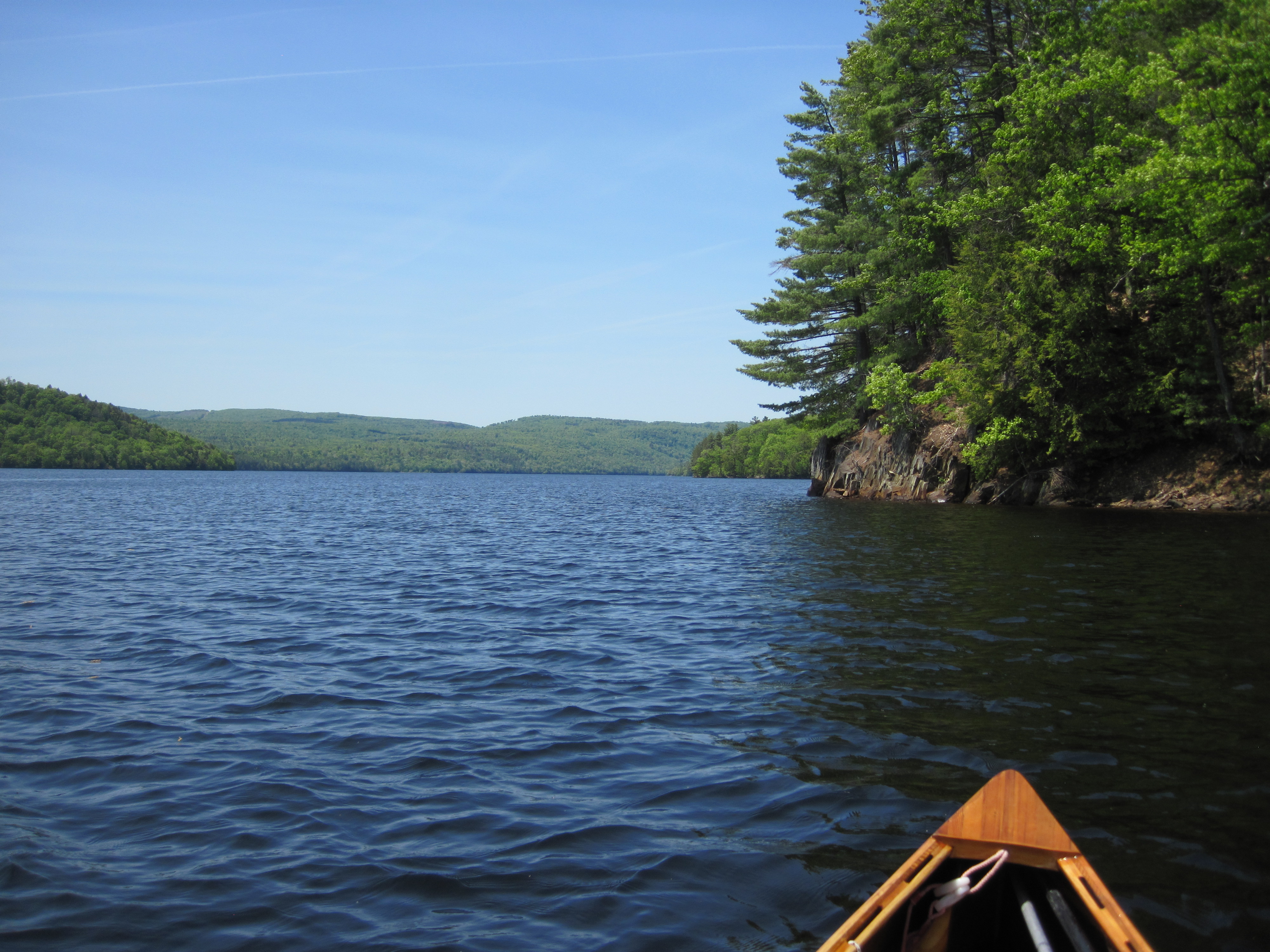
Wyman Lake
|
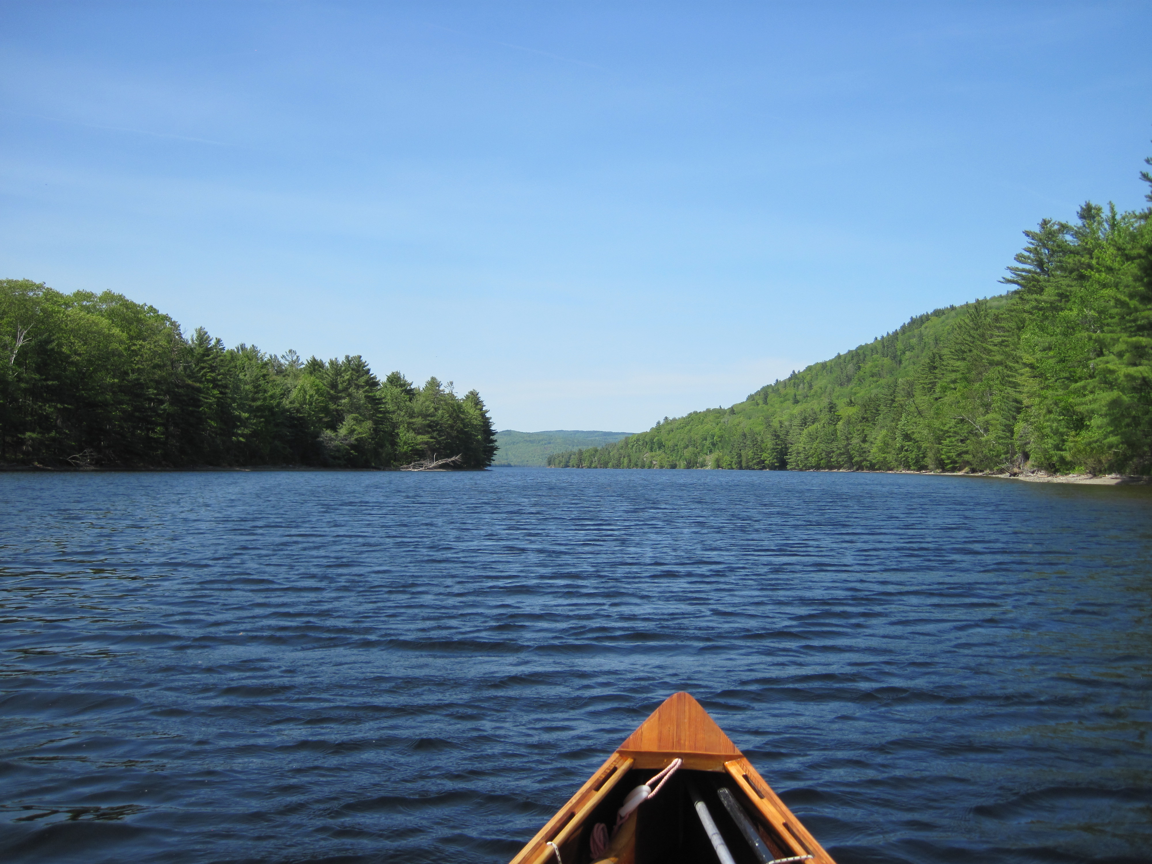
Wyman Lake
|
|
At nearly 4:00 pm I arrived at a headland just prior to a sharp left bend in the lake. This was my intended camping spot, and was perfect except for the blackflies, today's pest of choice, and a sign saying ‘This is not a camp-site’. The signage at the recreation area had indicated a camp-site around here, and a tour of the shore line revealed no other, so this became my camp-site for the night. A fire ring and large stack of firewood suggested that the sign might often be ignored. Furthermore, the sign also said ‘Enjoy your stay’.
|
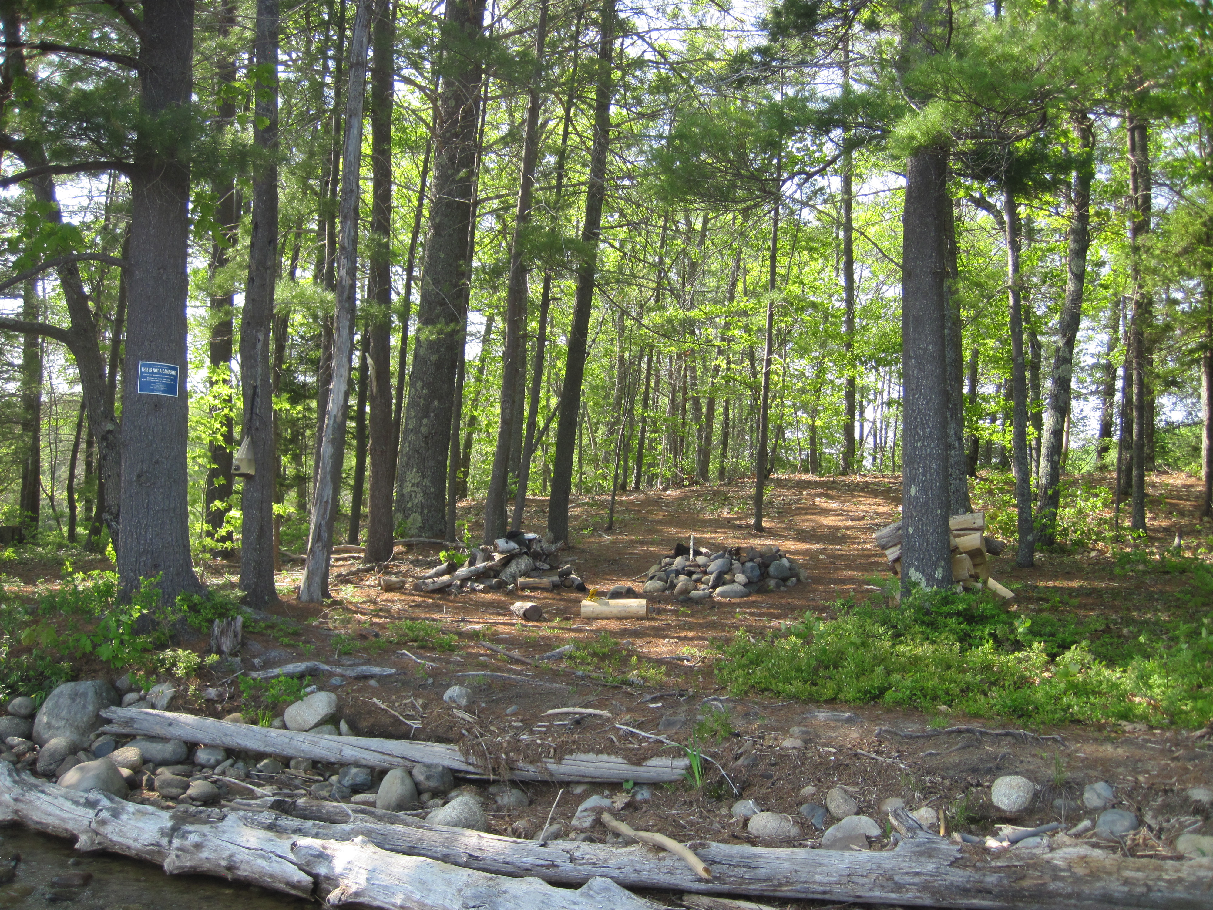
Looks like a nice camp-site ...
|
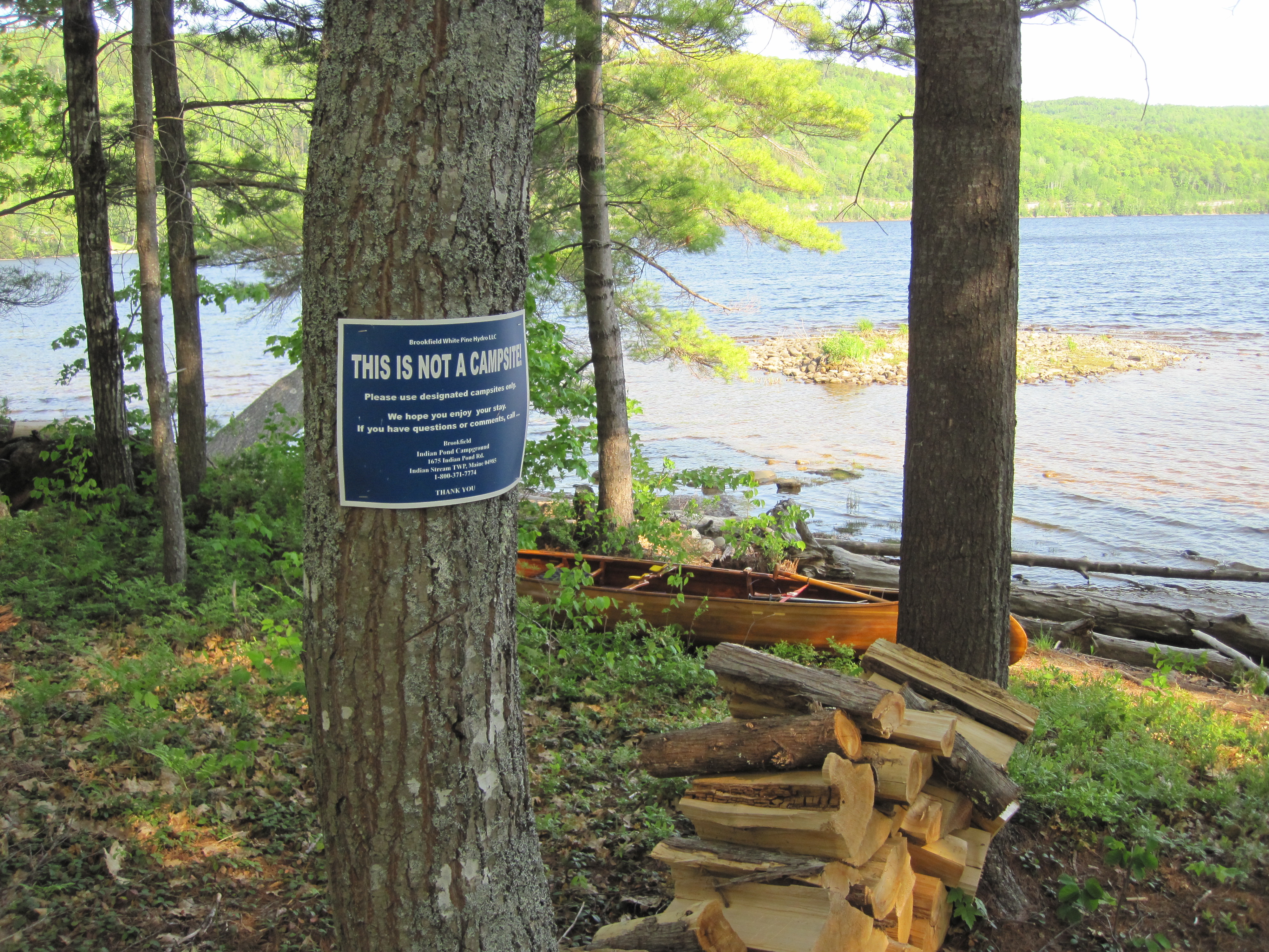
... but ...
|
|
There was an abundant choice of trees to hang the hammock, a large supply of logs to act as wind-breaks for the wood-stove, a large supply of small wood for cooking, and easy access to fresh water to filter. It was close to perfect. Once again, as I had done for a few nights now, I dispensed with the tarp, confident that it would not rain, and so was able to track the moon across the sky through the night, just a few days from full.
|
|


