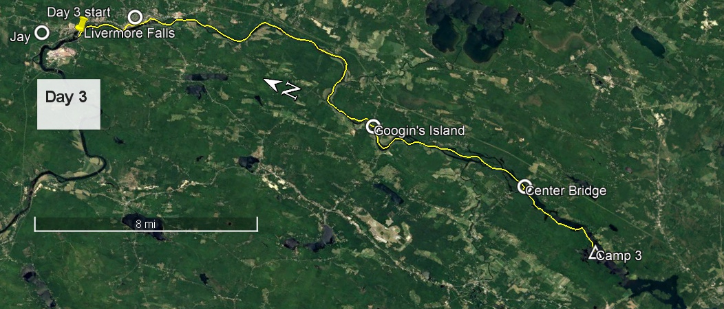
Day 3 route on Google Earth imagery
|
|
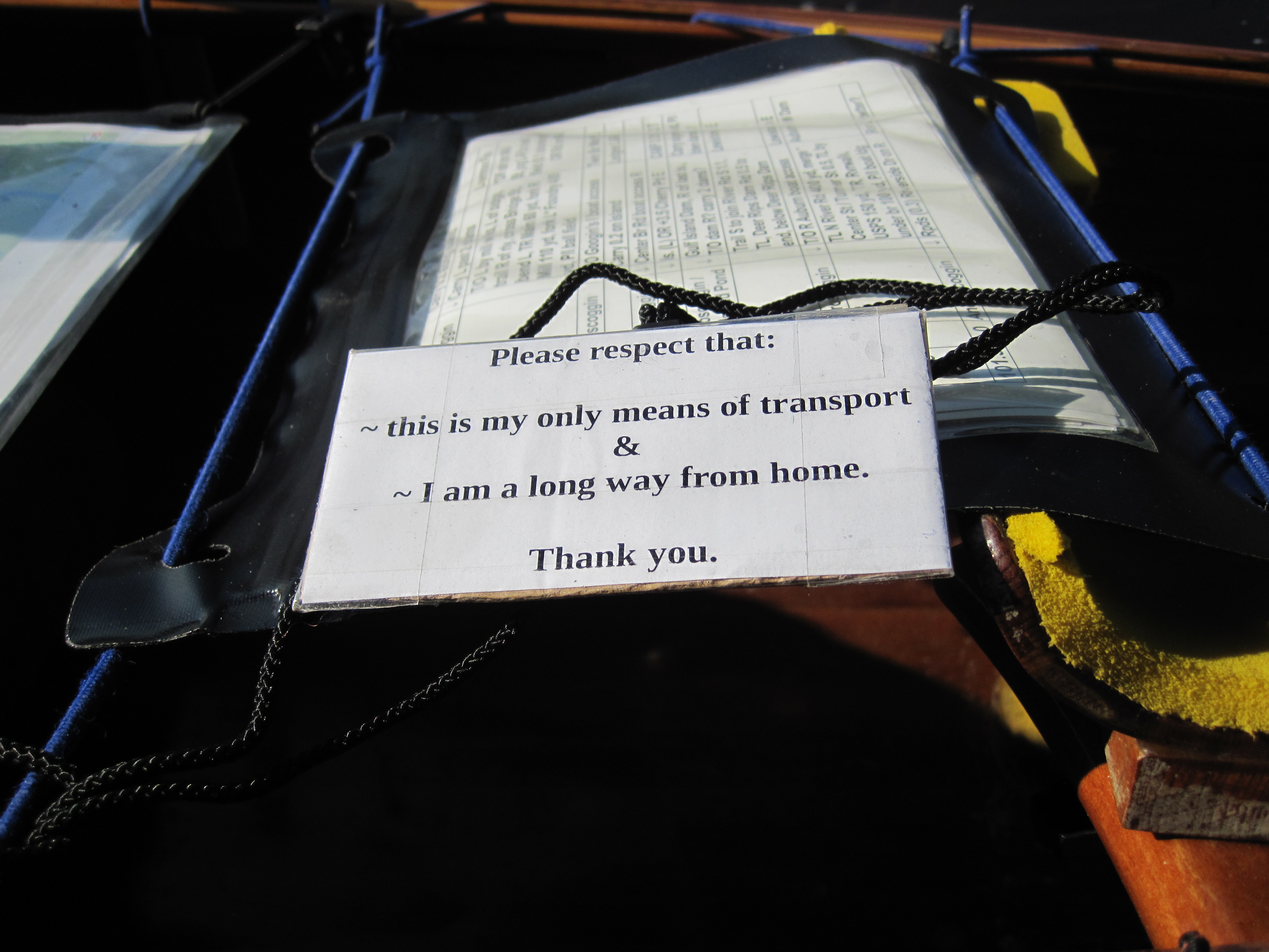
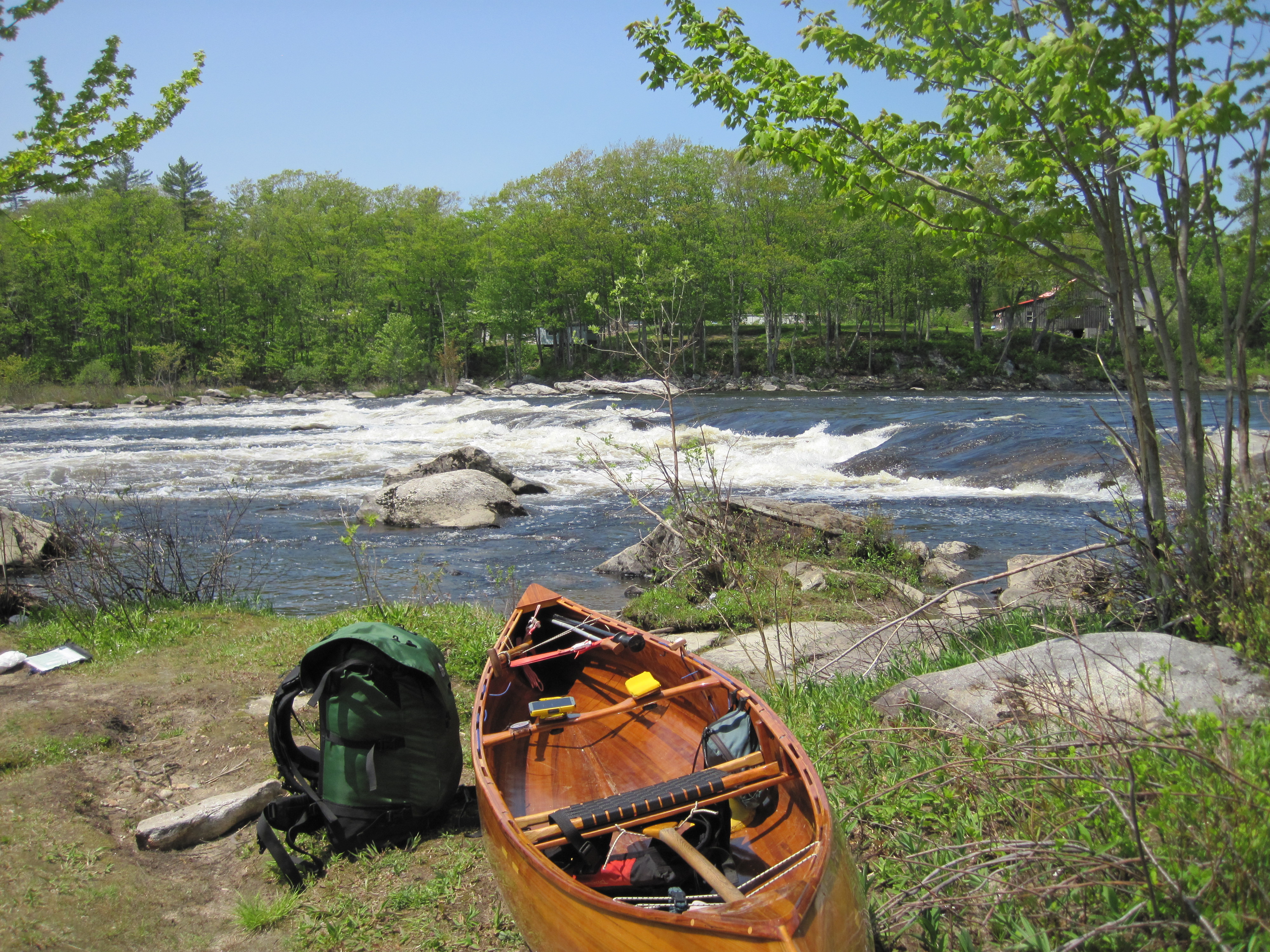
The roar of the falls over the dam made for a relaxing backdrop to sleep. As predicted, the early hours were cold, and, on looking out of the hammock at 5:30 am, the rapids were not even visible, so thick was the mist over the river. I had another leisurely breakfast, then packed for a temporary departure. At the bridge just downstream from Pine Island I disembarked, leaving a sign on the canoe saying:
Please respect that:
~ this is my only means of transport
&
~ I am a long way from home.
Thank you.
I did this a few times, and never found anything disturbed on returning. I was sure, however, not to leave any easily stolen valuables, such as camera or phone or money. Climbing up the bank, I made my way to the convenience store that Viveka had alerted me to, with the suggestion that I might start the day with donuts. Sadly the only baked goods on offer were very mediocre, pre-wrapped muffins.
|
Looking back at Pine Island
|
Trusting humanity
|
|
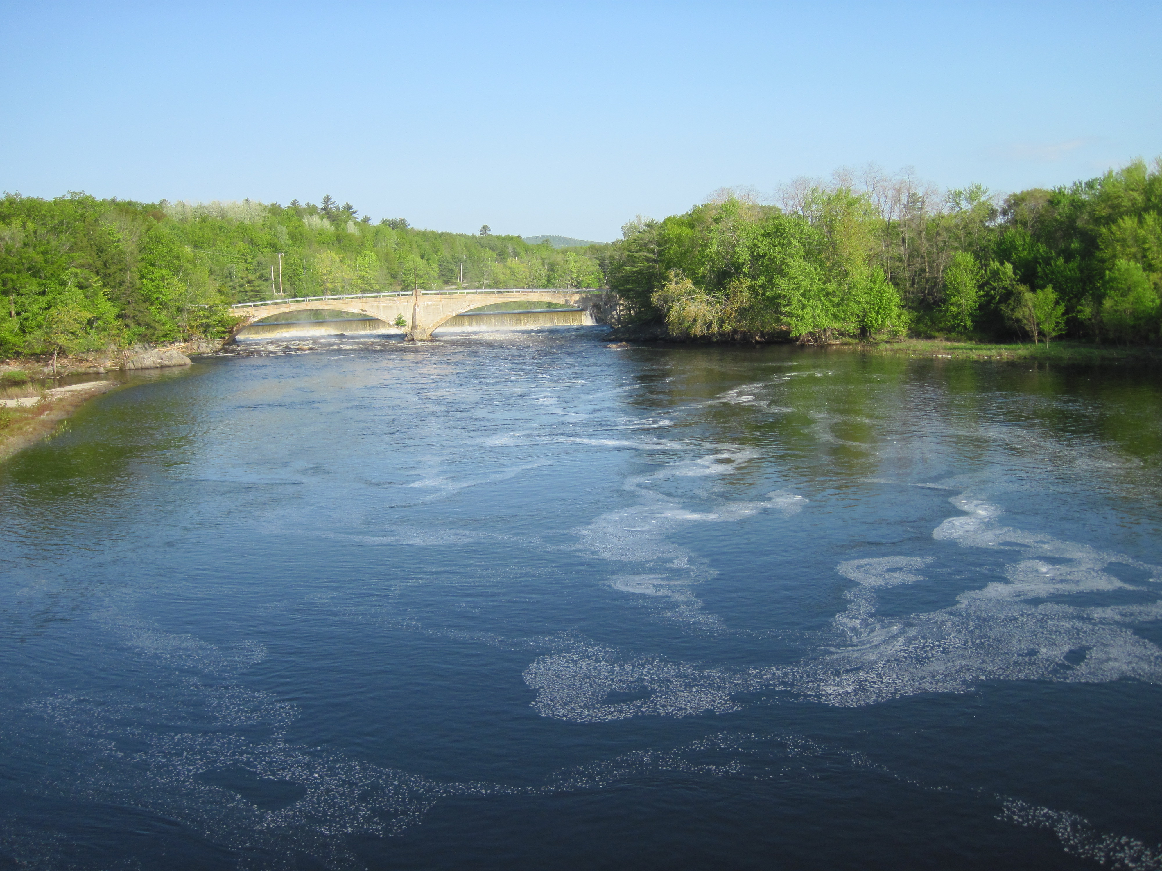
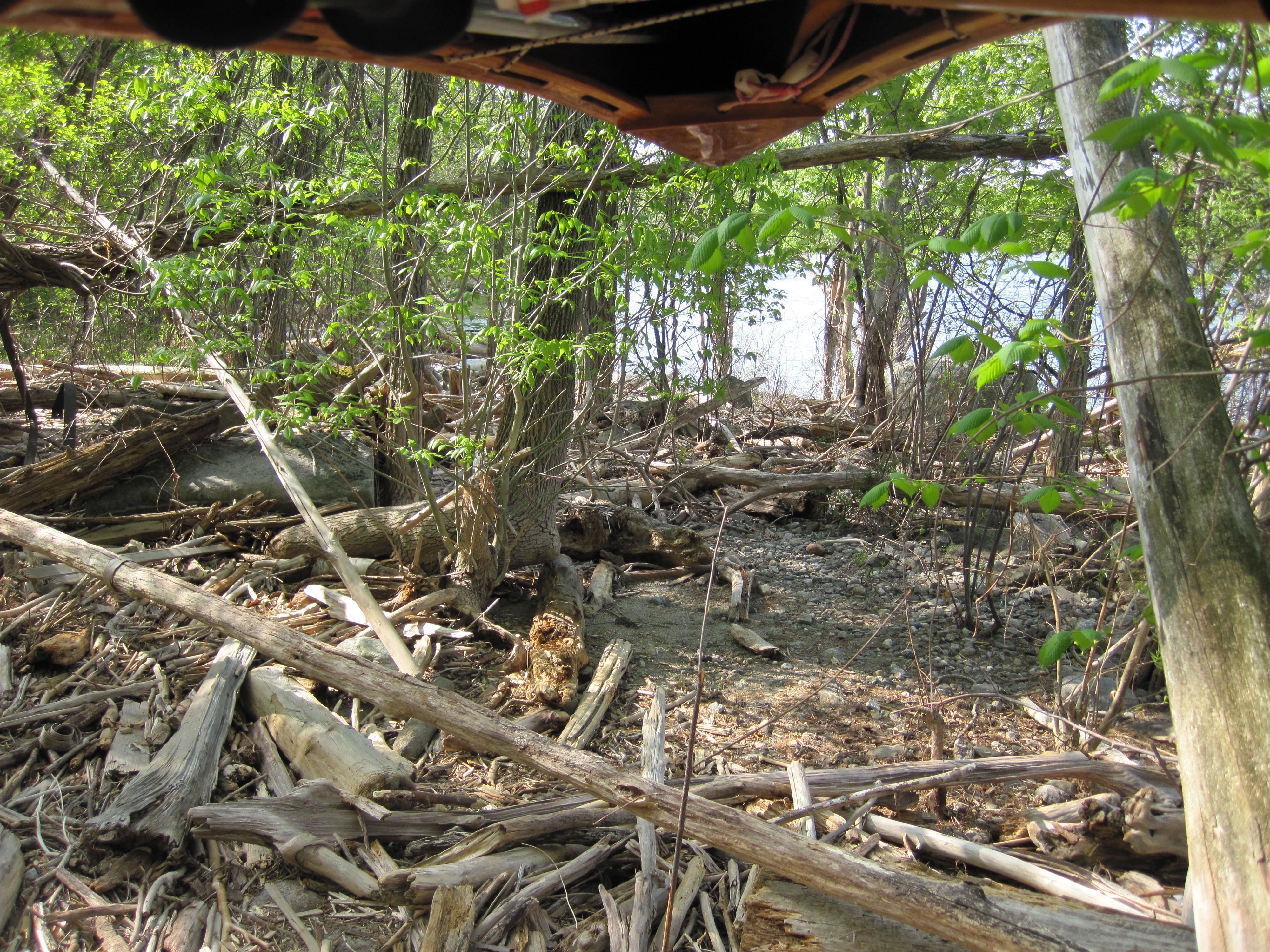
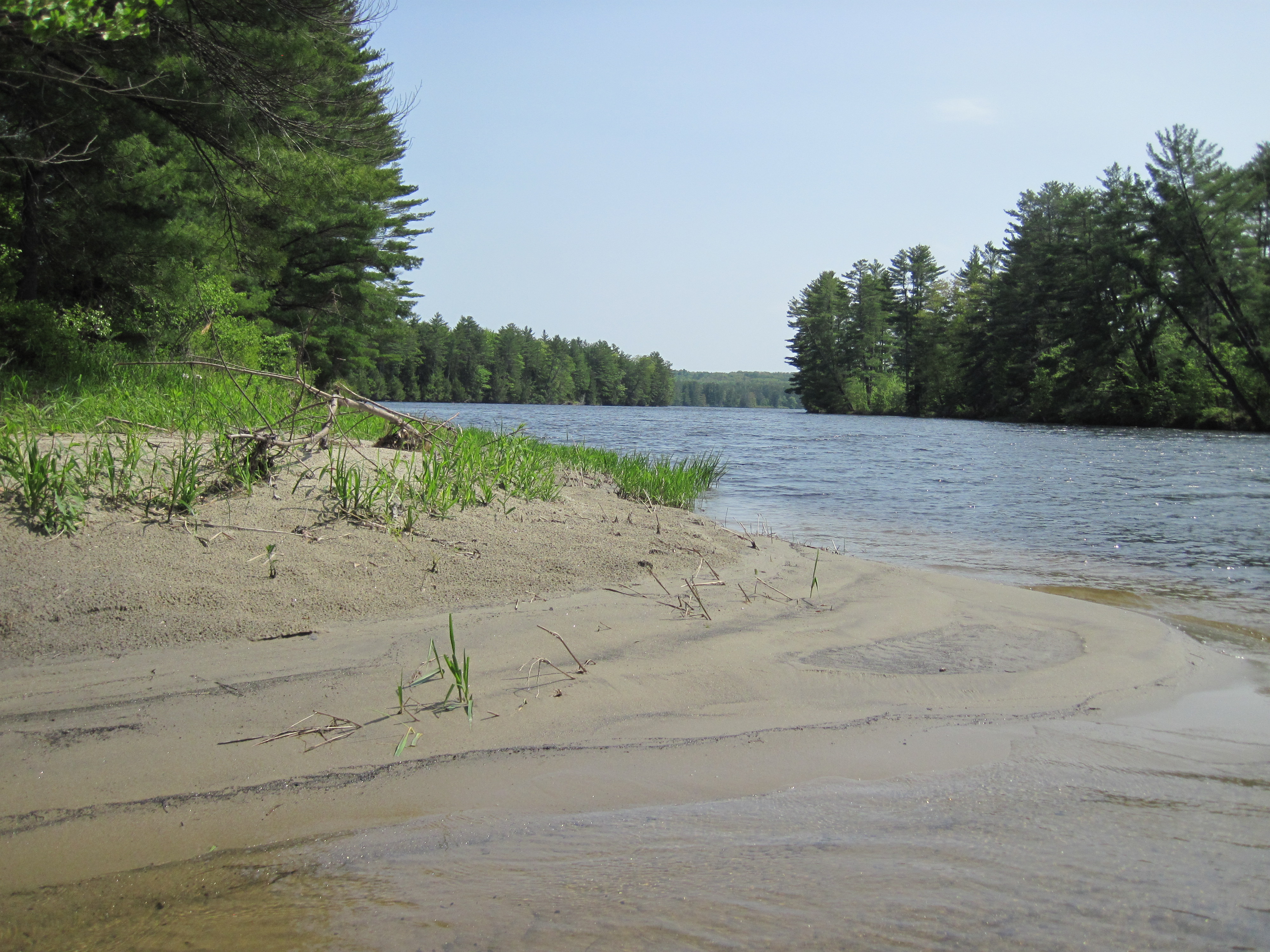
A short paddle downstream, something under 2 miles, I came to the totally unmarked take-out to carry around the pair of dams in Livermore Falls. Once out, though, the route was easy to follow past some old industrial buildings, probably a mill of some sort. A short diversion where the path crossed a road led me to a real bakery with fresh bagels, so my trail mix was augmented for the day. The put-in was another that could do with some improvement. Again unmarked, it was piled with dri-ki, requiring strong ankles and a balancing feat.
|
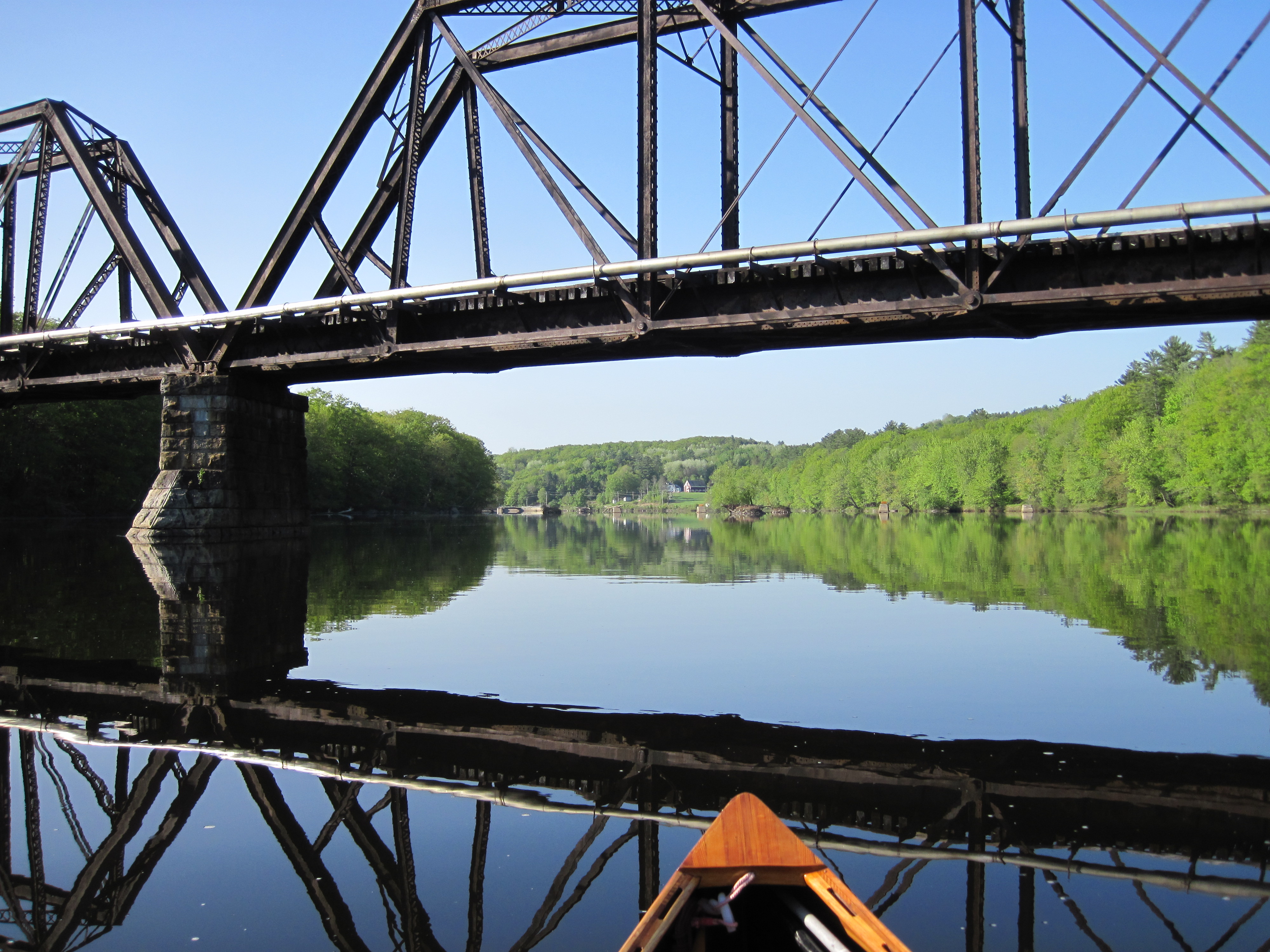
Railway bridges were a common sight
|
Put-in below Livermore Falls
|
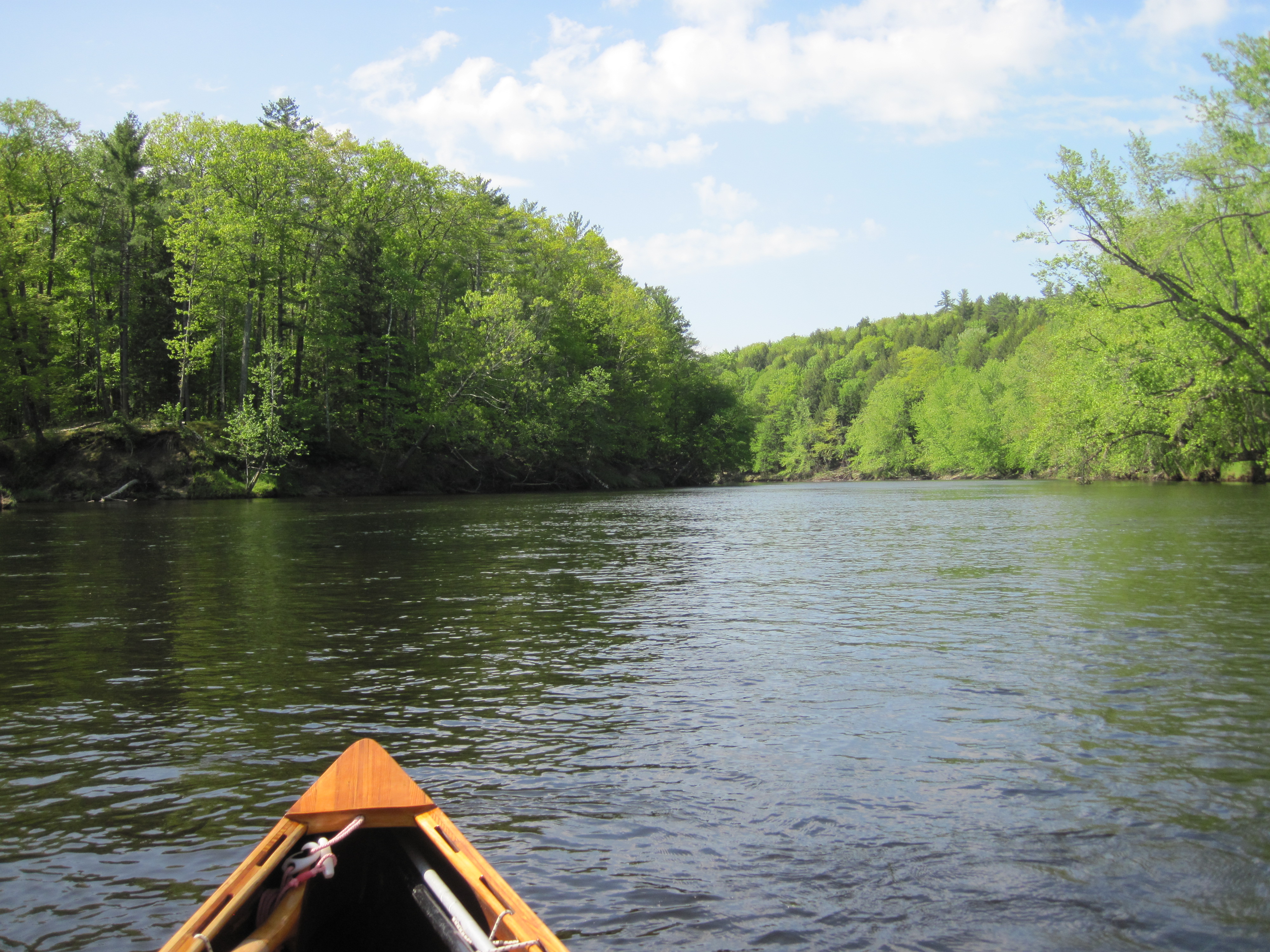
Androscoggin valley
|
Jeremiah?
|
|
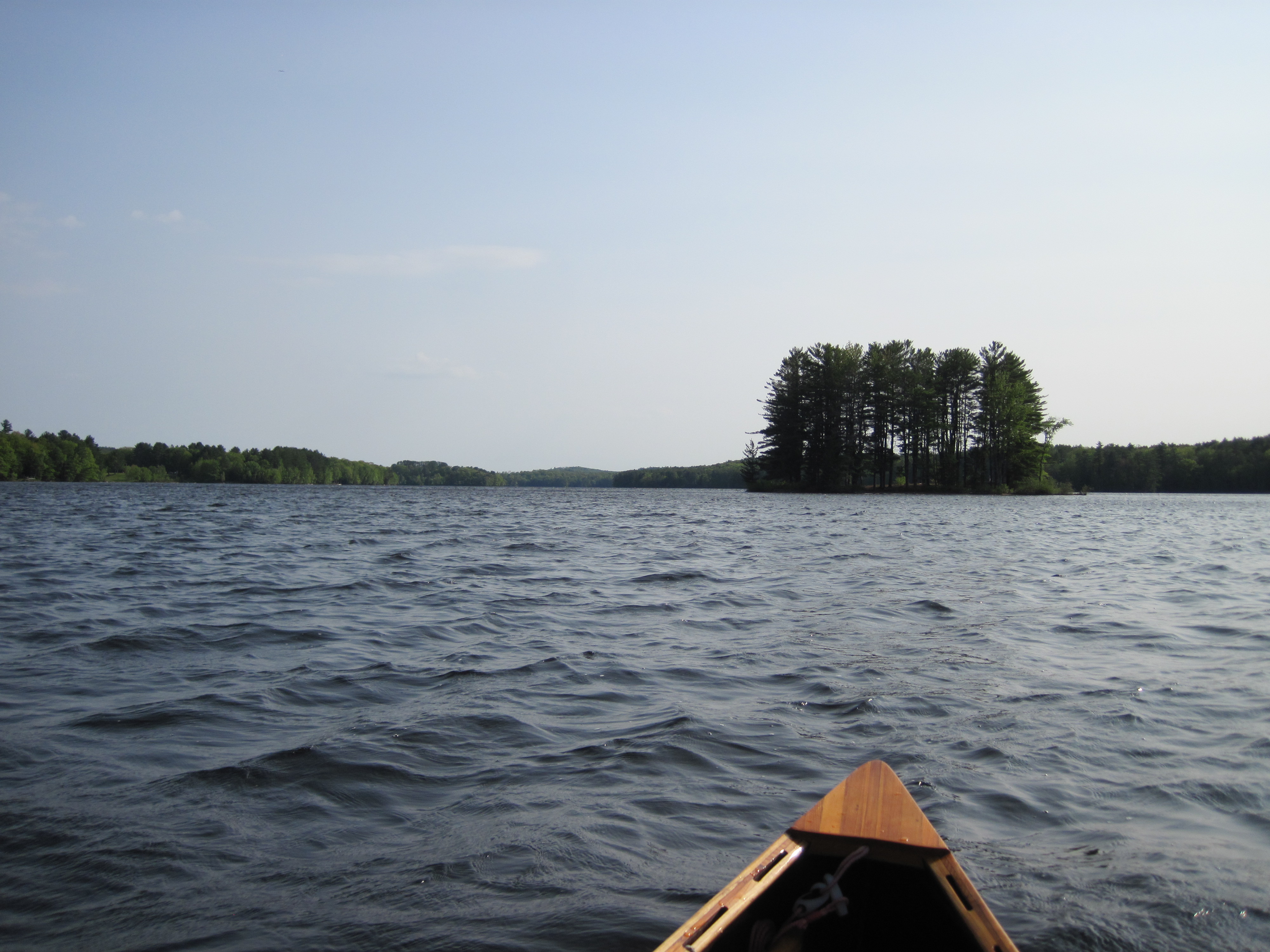
Once more heading downstream, it became apparent that today's wind direction was southerly. Once again it had changed to match my course, ensuring a direct headwind. Today it proceeded to increase in strength, soon reaching 10 mph and never really dropping below that. At Googin's island, where route 219 crosses the Androscoggin, I initially investigated the possible take-out on the right side of the island, perilously near to the drop into the falls. Discretion being the better part of valour, I escaped the gravitational pull of the falls and eventually found the real take-out, once more unmarked, on the left side of the island. Near the foot of the island I stopped for a lunch break, hiding behind a rock to shield me from the wind and therefore being able to enjoy the sun without being chilled. At this point I was about only 20 miles from Augusta on the Kennebec River that I would be ascending a very few days hence.
|
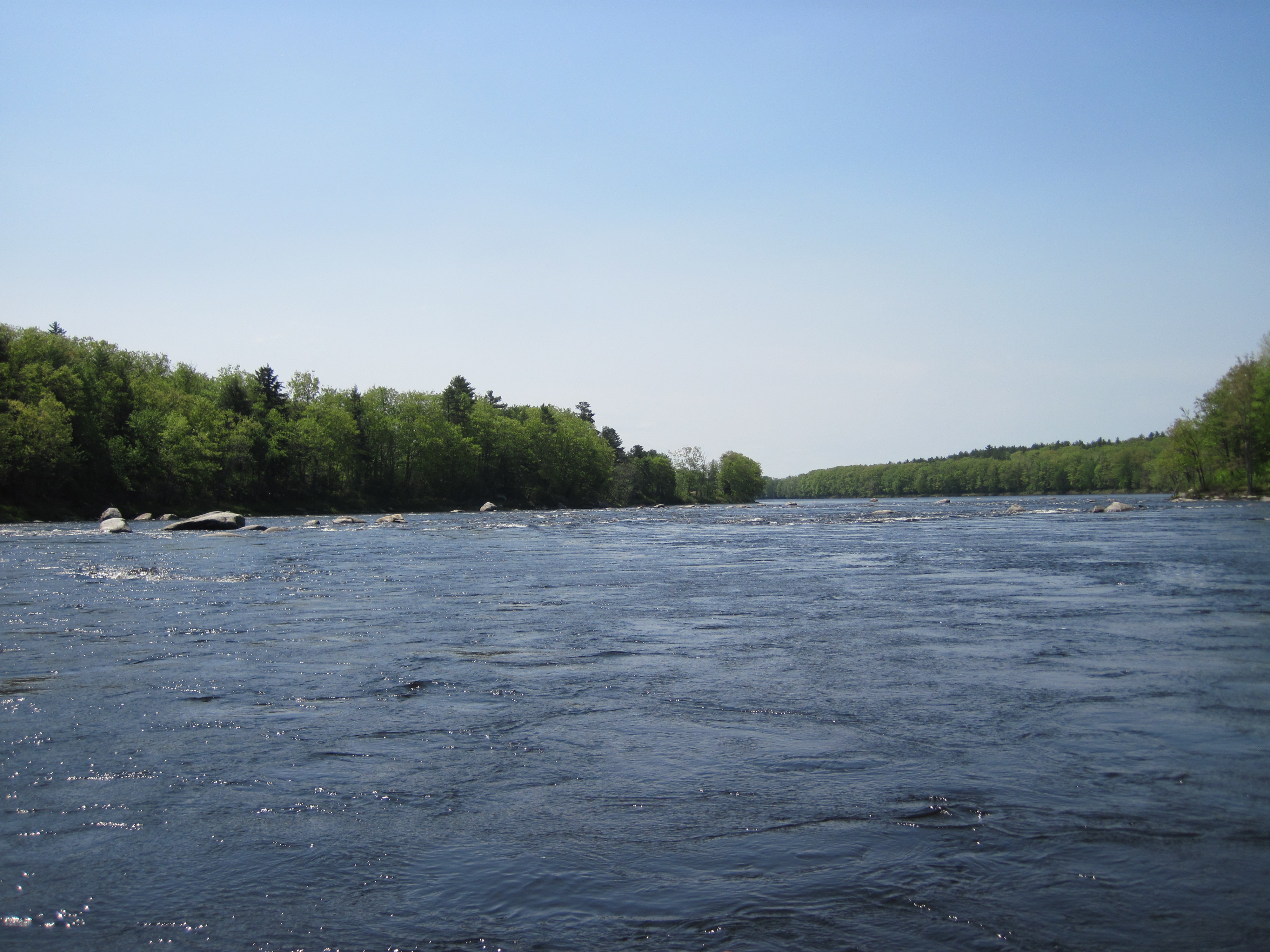
Boils, swirls & rapids
|
Falls at Googin's Island
|
|
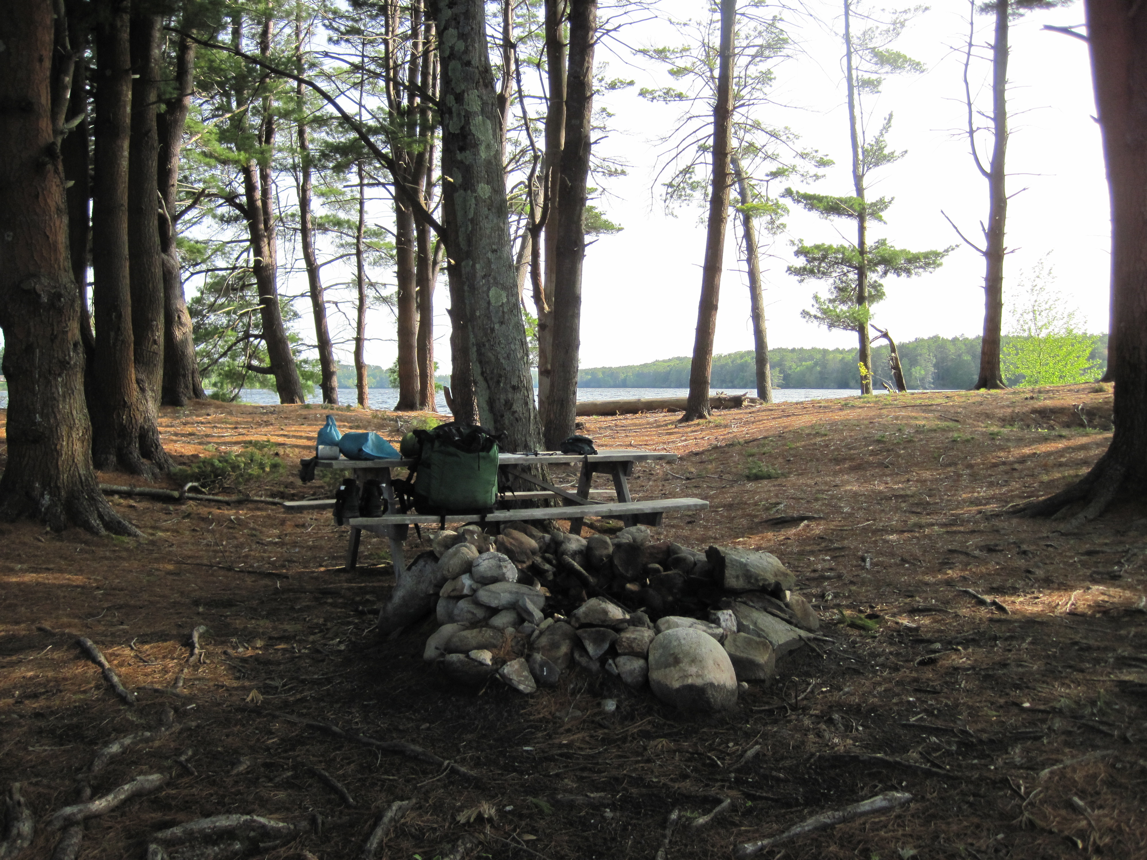
As I pressed on to the south, the wind strengthened relentlessly, just as the river widened to form Gulf Island Pond, the impoundment behind Gulf Island Dam. The greater width afforded fewer opportunities for shelter. Working hard it took 2 hours to cover the 6.7 miles to Center Bridge, where I paused briefly at the boat launch. Then, once more into the wind, I hugged the west shore, river-right, where it was shallow enough to pole for a while. Eventually, though, I just had to tough it out with the paddle. I passed the island on the east side where I had planned to stay, and, maybe 2 miles farther on I found a small island with designated camping. I was torn, having wished to complete the length of Gulf Island Pond, but had to remind myself that this was not a test or a race, and that I was already ahead of schedule, so I pulled in. The wind by now was blowing at 20 - 25 mph, making it impossible to hang my tarp. Any stakes immediately pulled out of the sandy soil, and the arrangement of trees precluded tying it to them.
|
Androscoggin valley
|
Island camp-site in Gulf Island Pond
|
Camp-site
|
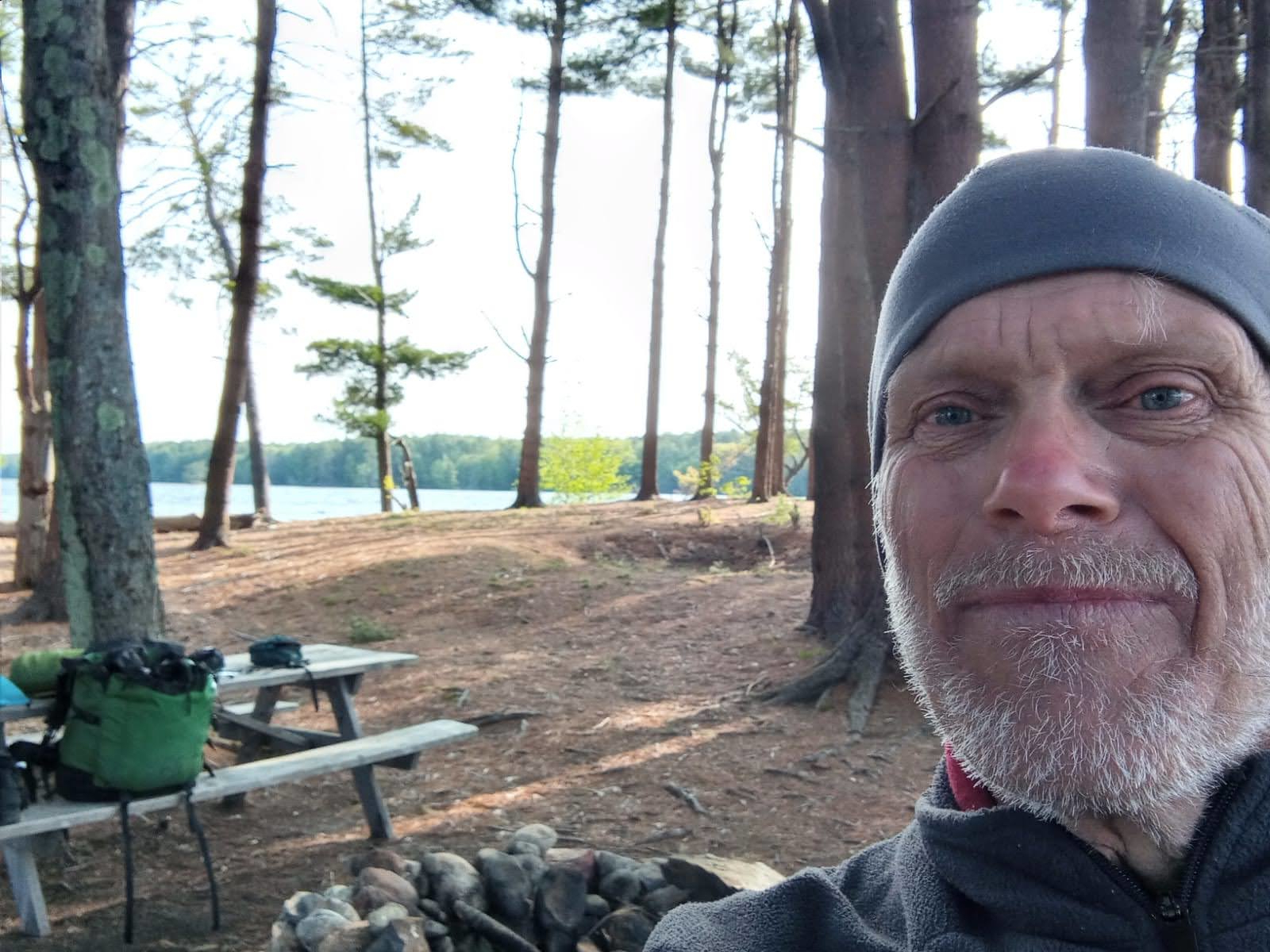
Dressed for chill
|
|
By now I was very cold, so piled on an extra thermal shirt and two fleeces. Even this was insufficient against the chill of the wind, so I added waterproof gear for further protection. A large supply of small, dry wood made the wood-stove happy, once I figured out how to protect it from being blasted by the wind, and that in turn made me happier, with hot drink and food inside me. For a while I toyed with moving camp, but would have had very little time to find an alternative location and set up. As evening progressed I tried to hang my hammock, but the wind was so strong as to turn it into a spinnaker, applying forces which were far greater than my body weight. There was no way to control it, so I abandoned the idea of the hammock altogether, and resolved to sleep on the ground, there being no sign of rain or even clouds. I laid down my underquilt on a patch of pine needles and then added my sleeping bag on top. The slope I was on made it inevitable that I would slide downhill, but the canoe, propped up against a couple of trees, made a footboard.
|
|