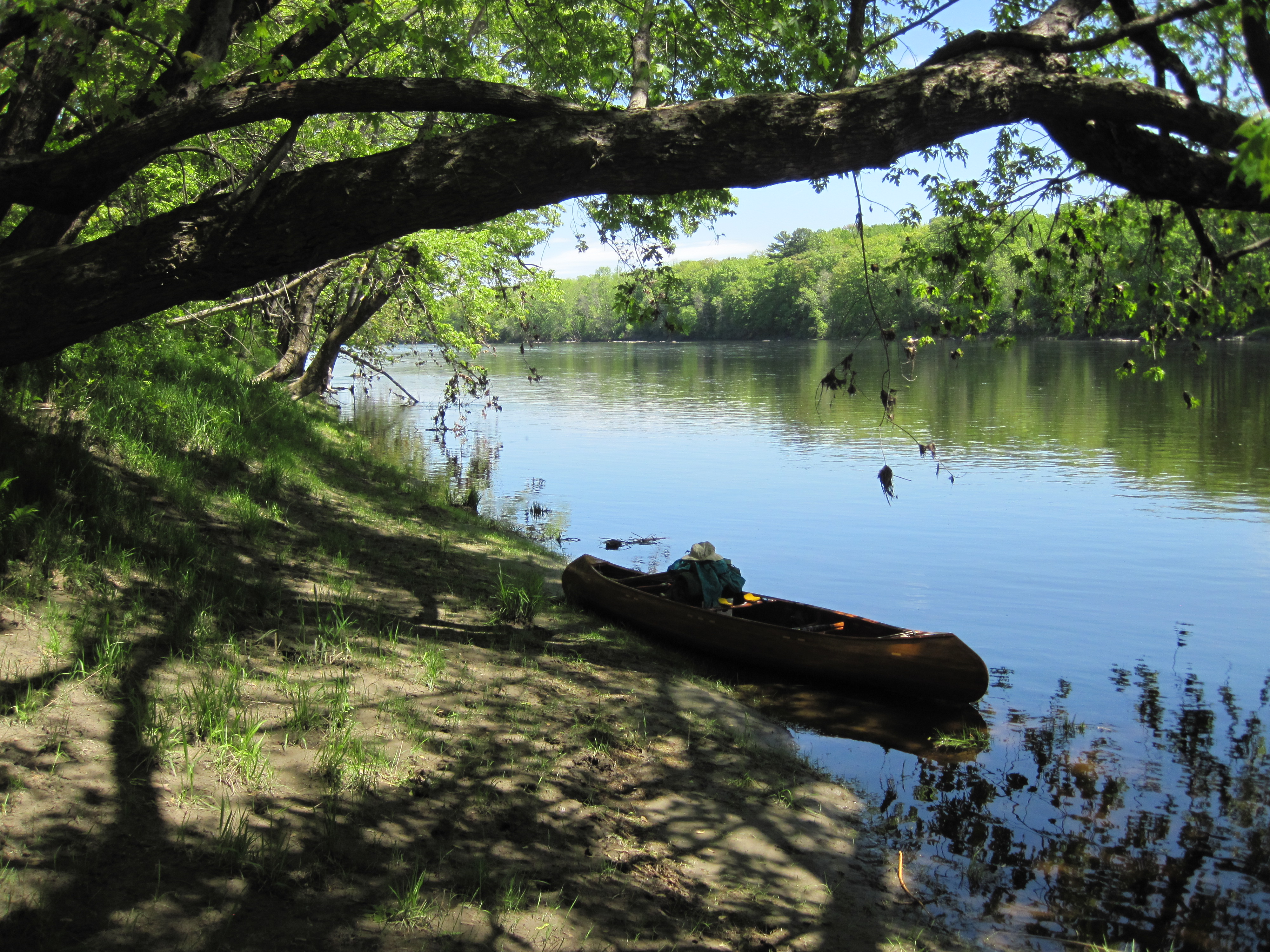
The morning traffic on the Augusta by-pass bridge colluded with my bladder to persuade me to leave the hammock at about 5:00 am. The night had not been as cold as some, but there was still a chill in the air, requiring me to wear a fleece. I immediately packed my camp and took everything to the ledge to pack and to have breakfast. Sunrise behind me was illuminating the far bank and the bridge, but not yet warming me.
Today then ran the gamut of upstream paddling. Some was against slow flow, some against swift water. Some was deep and some shallow, some smooth and some rapids. My long paddle, short paddle and poles lived free in the bow of the canoe, being selected according to the prevailing conditions. The farther upstream I progressed, the more I used the poles as the water was more often shallow, and I ascended several miles of the Kennebec in this fashion. There were places where I was making about 2 mph upstream with the poles, which I considered not too shabby. The first set of serious rapids required some wading, but the next set yielded to the poles. The canoe picked up several scratches today, mainly from not seeing the rocks immediately ahead while plotting the route beyond.
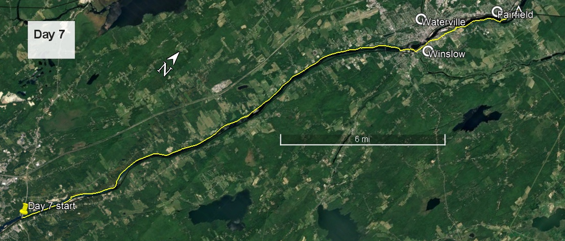
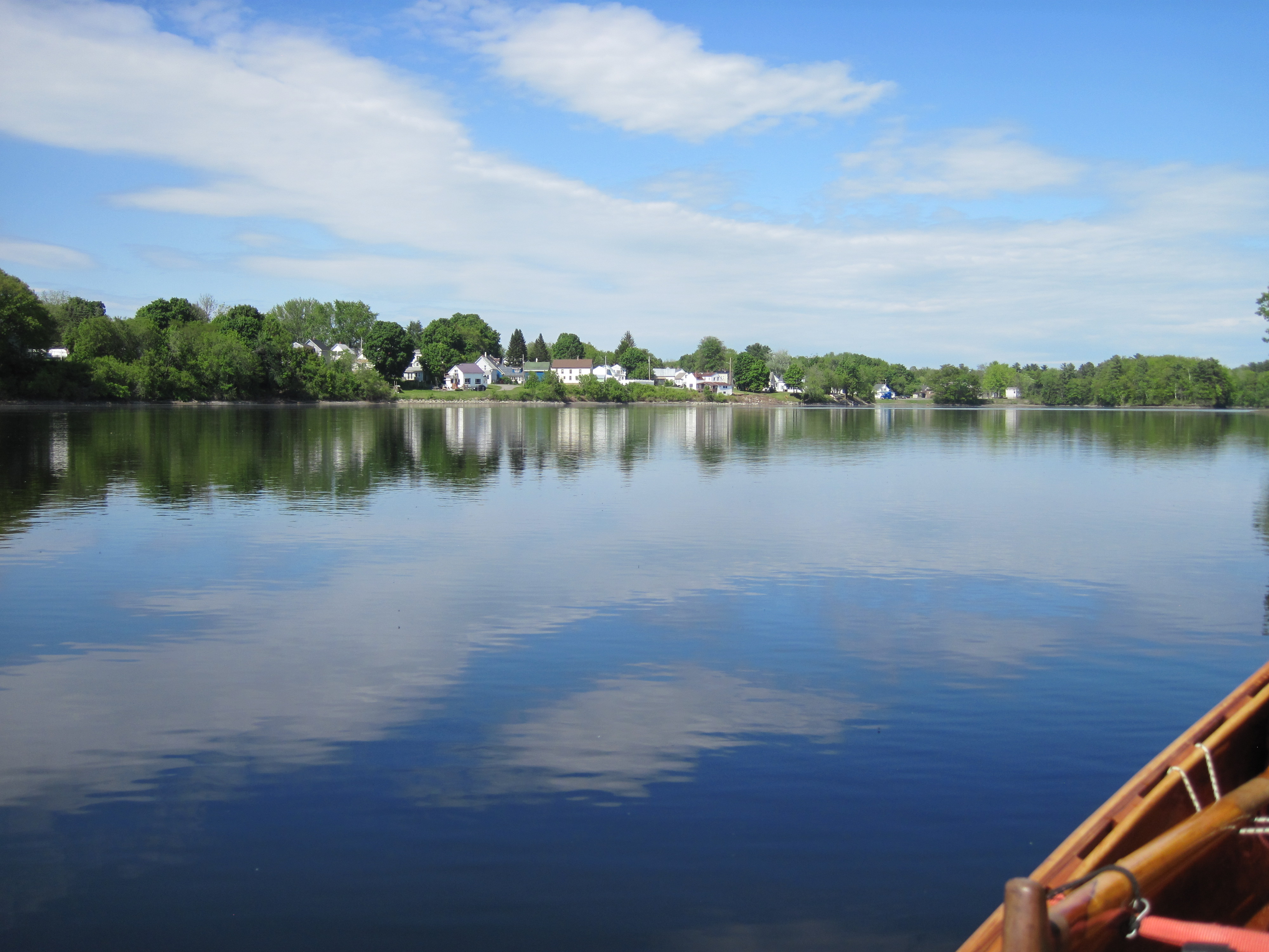
Paddling upstream in deep, slack water
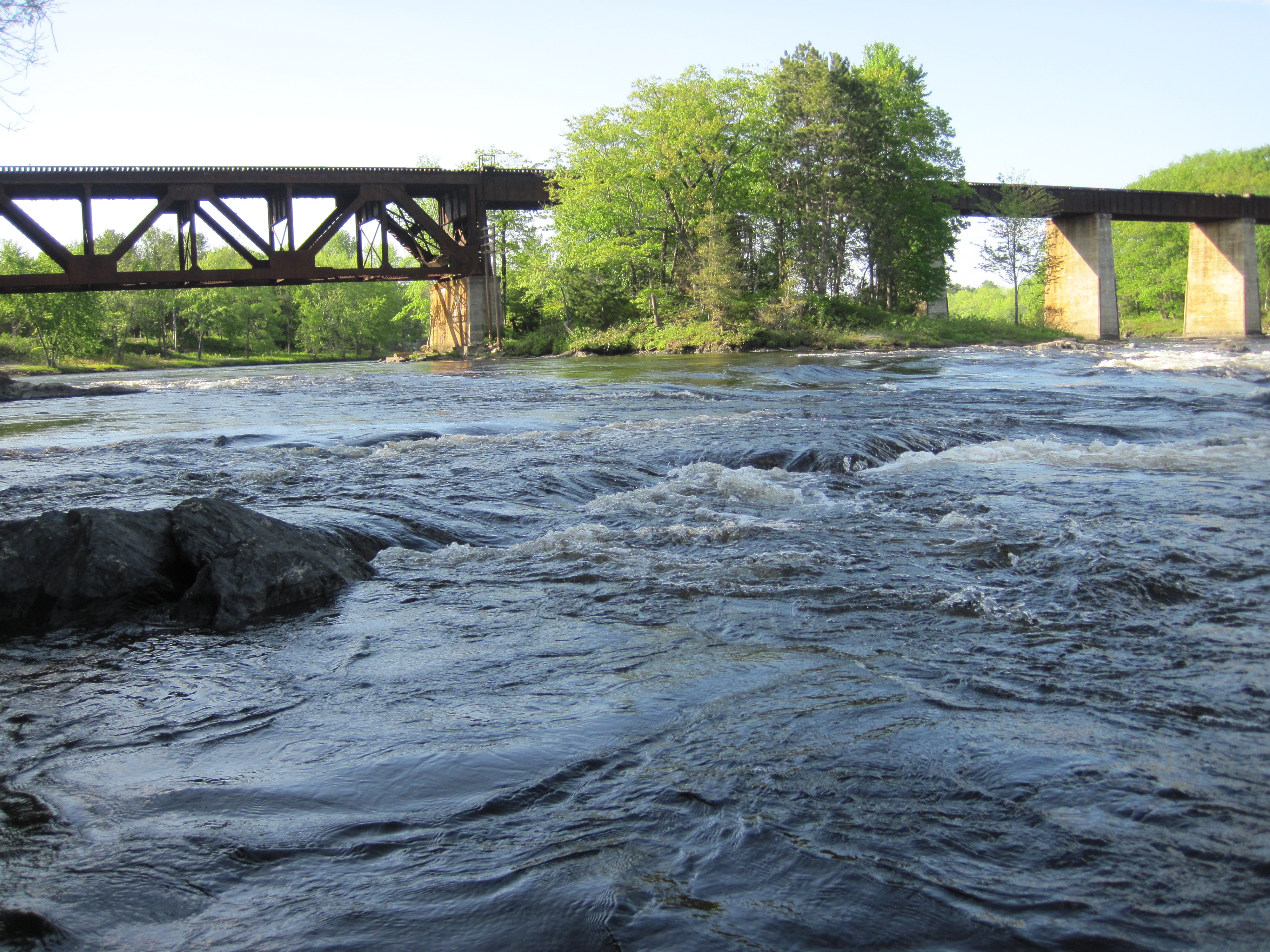
Poling upstream in shallow, fast water
I started on river-left where I had camped, enjoying the cool of the morning in the shade of the early sun. Eventually, though, I crossed over, not least to be able to charge my Waka Waka, my solar powered flashlight. It was my intention to use it to charge my phone as necessary, so storing as much charge as possible was a wise move. I had taken to wedging it under the straps of my pack, adjusting its angle so as to be as perpendicular as possible to the sun's rays.
The river here I found to be astoundingly beautiful, and it would have made a spectacular downriver run. I took a leisurely lunch break under some silver maples on river-right, and took the opportunity to filter some water. The day was now truly hot, despite the north wind, and I had been draining my water bottle, as well as wearing a soaked pack-towel around my neck as a cooling wrap. Rather perversely I had donned hat and paddling gloves in the heat of the day; these were for protection from the sun. A little later, at the Sidney boat launch, I called Bob Donovan. He is a member of the Arnold Expedition Historical Society, had paddled from Augusta to the Canadian border on the Arnold Trail a couple of years previously, and had been a source of valuable information, especially regarding portages. He replied by text to my message; we had tentative plans to meet if possible.
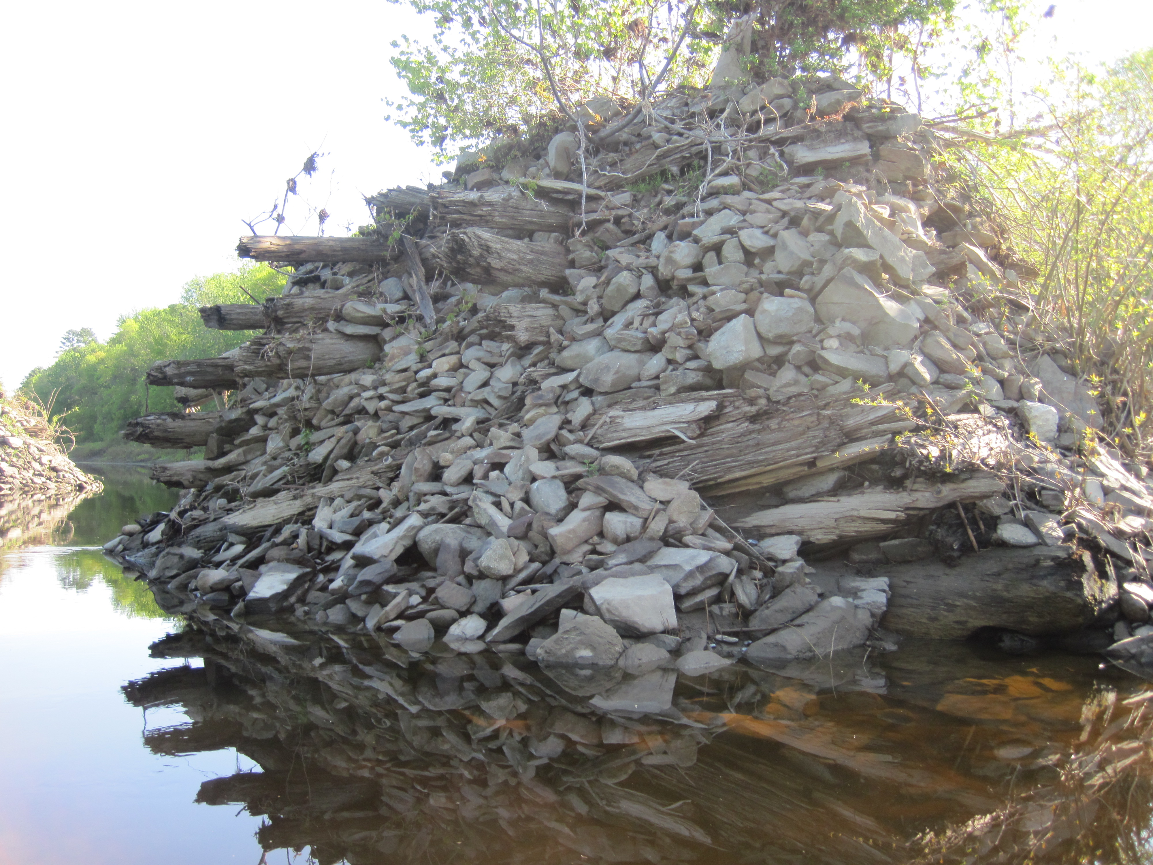
Kennebec valley
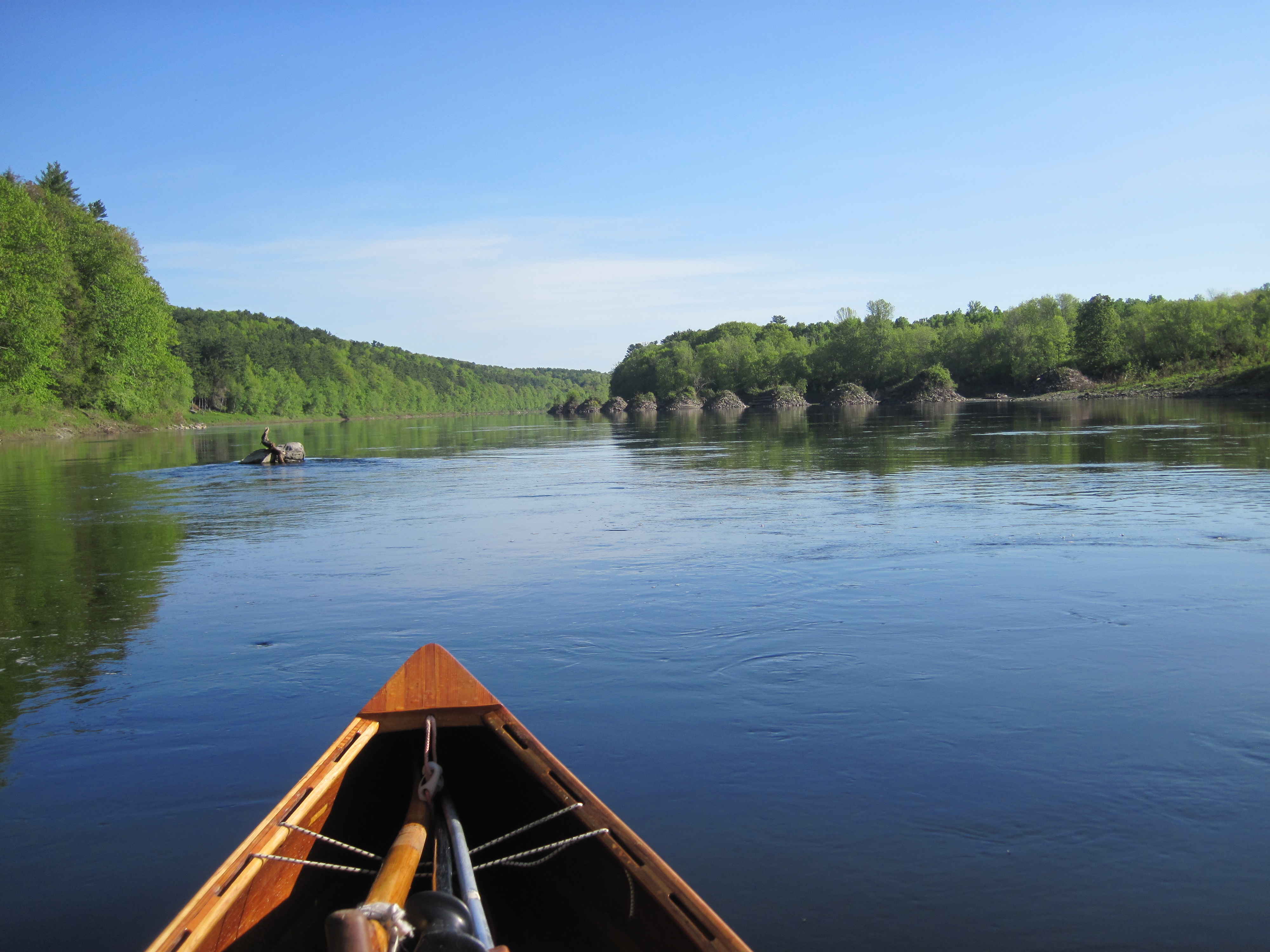
Boom pier from log-driving days
Kennebec valley
A break in the shade
At about 2:00 pm I pulled into Winslow, opposite Waterville, and took out at the Fort Halifax historic site at the mouth of the Sebasticook River. This was the start of a 2.2-mile carry around a pair of dams. As far as I could see, Winslow offered truck parts, truck repair, fast food and bars, not much else. The carry was sweaty and uncomfortable, and the last part was intensely irritating. If the power company had put the boom 50 yards farther downstream, nearer to the dam but nowhere near dangerously so, a boat launch would have been available for launching. As it was, this remained blocked behind the fence, forcing those portaging to continue for another couple of hundred yards to a place where the steep bank was not entirely blocked by trees. The 8-foot drop to the water was entirely unnecessary, and could have been eliminated by better planning.
Approaching Fairfield
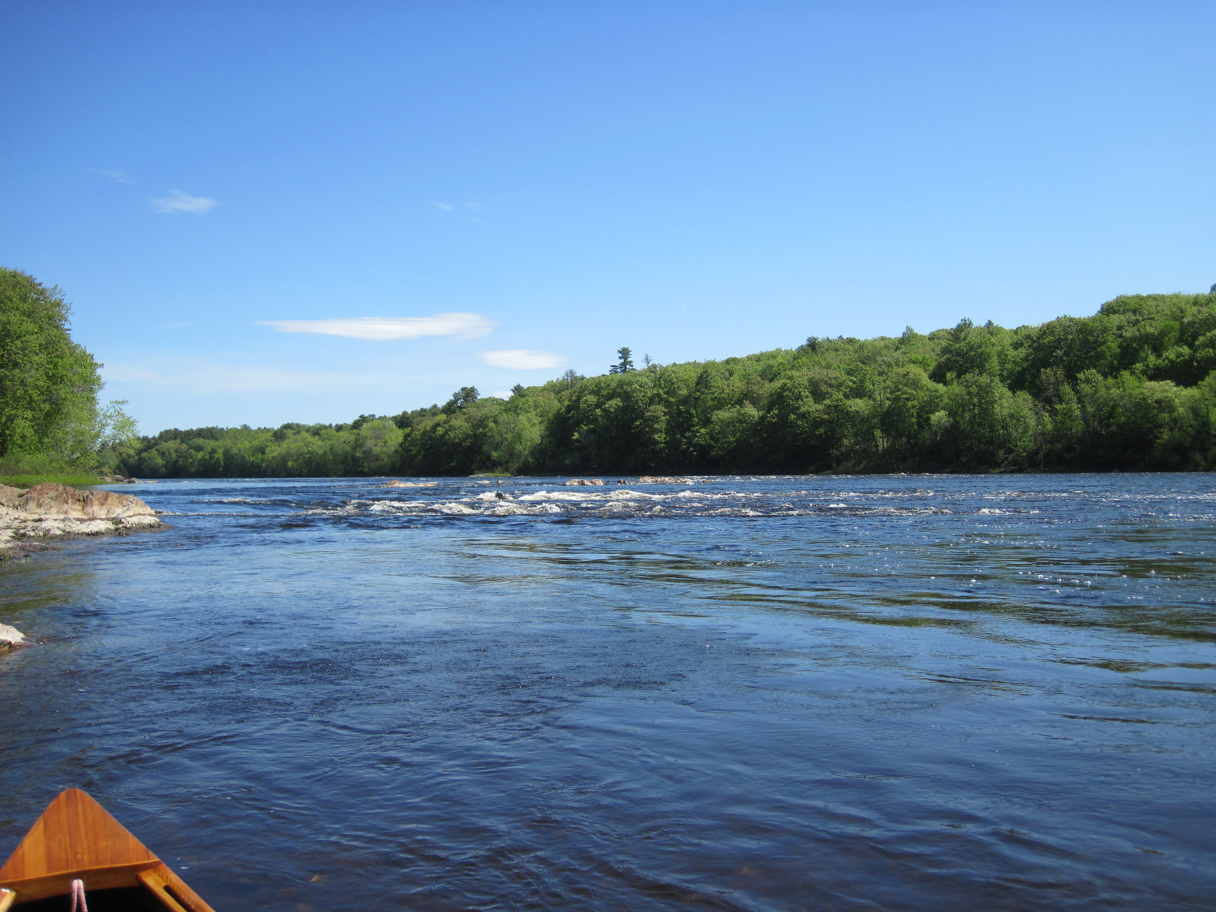
Rapids in Fairfield
It was then a pleasant and short paddle to Fairfield, where I chained up the canoe by the boat launch and went in search of pizza. It turns out that a 14-inch pizza is large for one person. I devoured half of it in the centre of town, before taking the remainder back to the boat launch to consume there, together with a couple of drinks. My next task was to find a camp-site. My tentative plans to use Mill Island Park foundered when it transpired that there is no water access to the island. Carrying my canoe over the busy road bridge would not be a surreptitious way of finding a stealth camp. Besides, I was still carrying about 5 litres of water, so was trying to minimise carrying. I paddled, poled and waded up rapids to the next island, but it proved to be too choked with small trees and shrubs. On reaching the north end of this island, however, I found a reasonable, rocky take-out, leading to a few well-spaced trees, together with copious poison ivy. Care would be needed when selecting a location for a cat-hole. It was on this island that I tripped on a cut tree stump, taking a tumble and scraping my left shin and heavily bruising my left knee. This promised to make kneeling in the canoe awkward for some time to come.
Finding a way to my camp-site island
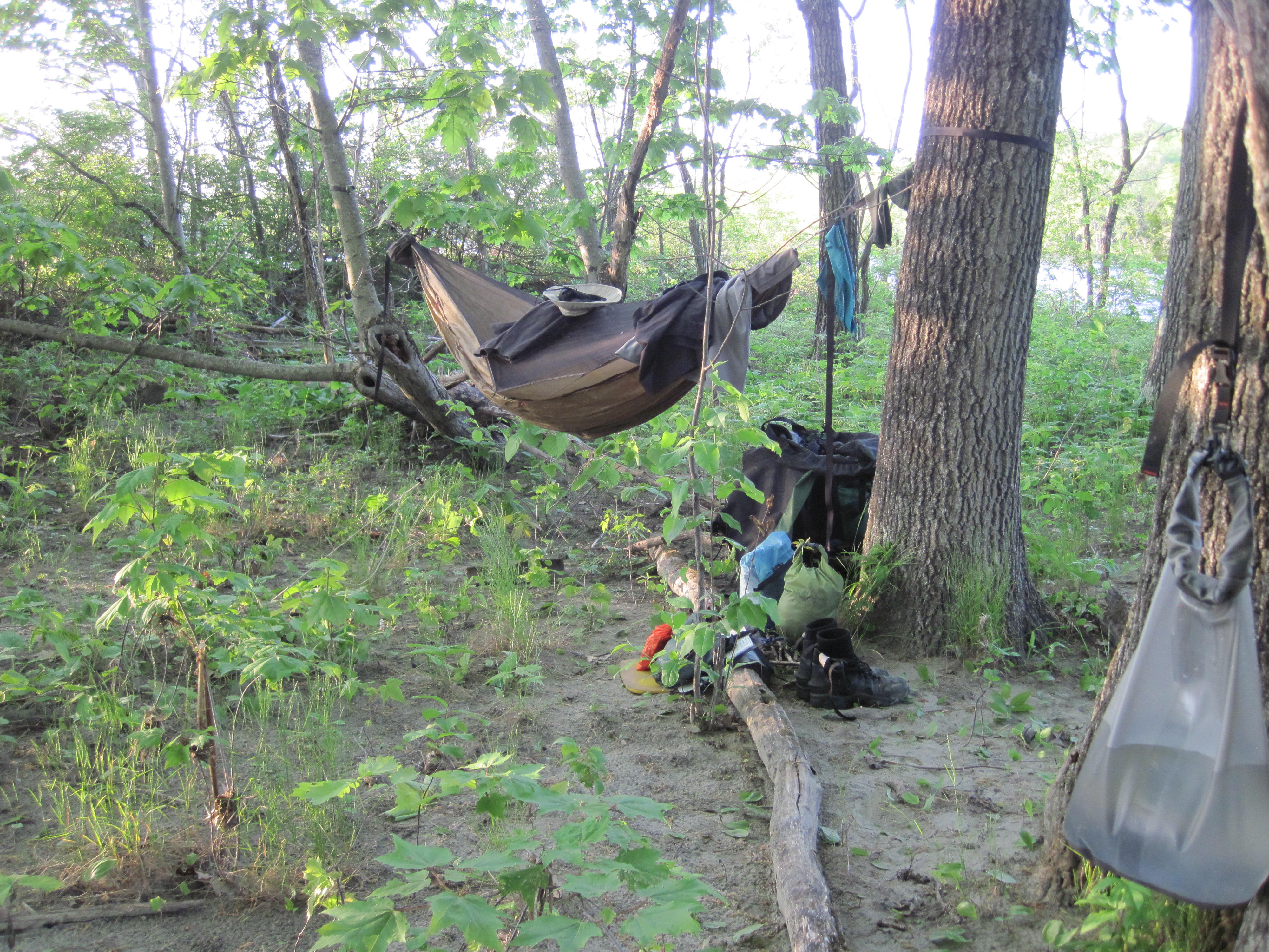
Camped ... with poison ivy
It was about 6:00 pm as I set up camp, and, as I cooked dinner, the blackflies put in their first real appearance. I had been enjoying their absence, but that phase of this trip was apparently now over, well and truly over.