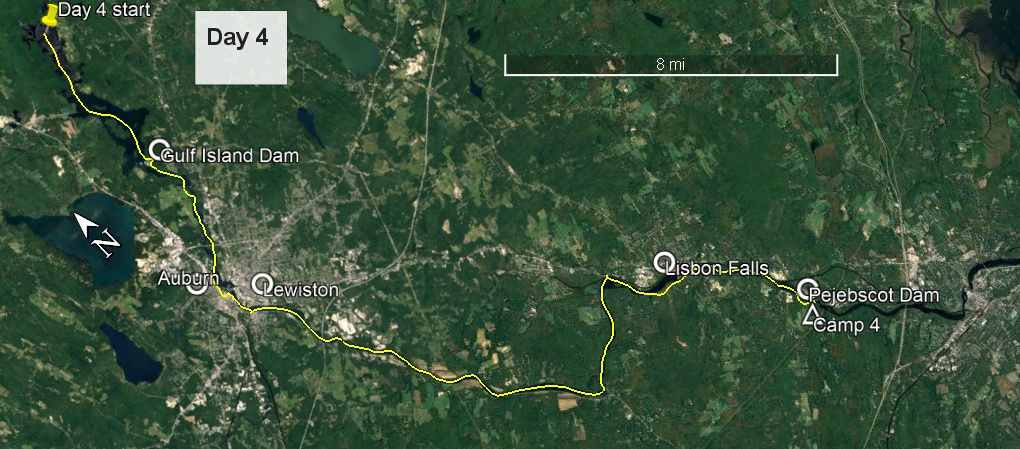
Although the wind subsided a little overnight, by 3:00 am it was picking up again, and I was left wondering about my decision to stay here. Should I have pushed on to the more sheltered end of Gulf Island Pond? Might I now be stuck here? I was up at first light, about 4:30 am, had a breakfast bar and one of yesterday's bagels for breakfast, with a pot of tea of course, and was under way by 5:30. The south wind was still blowing, albeit less intensely than yesterday. I followed shorelines where possible, trying to find what shelter might exist.
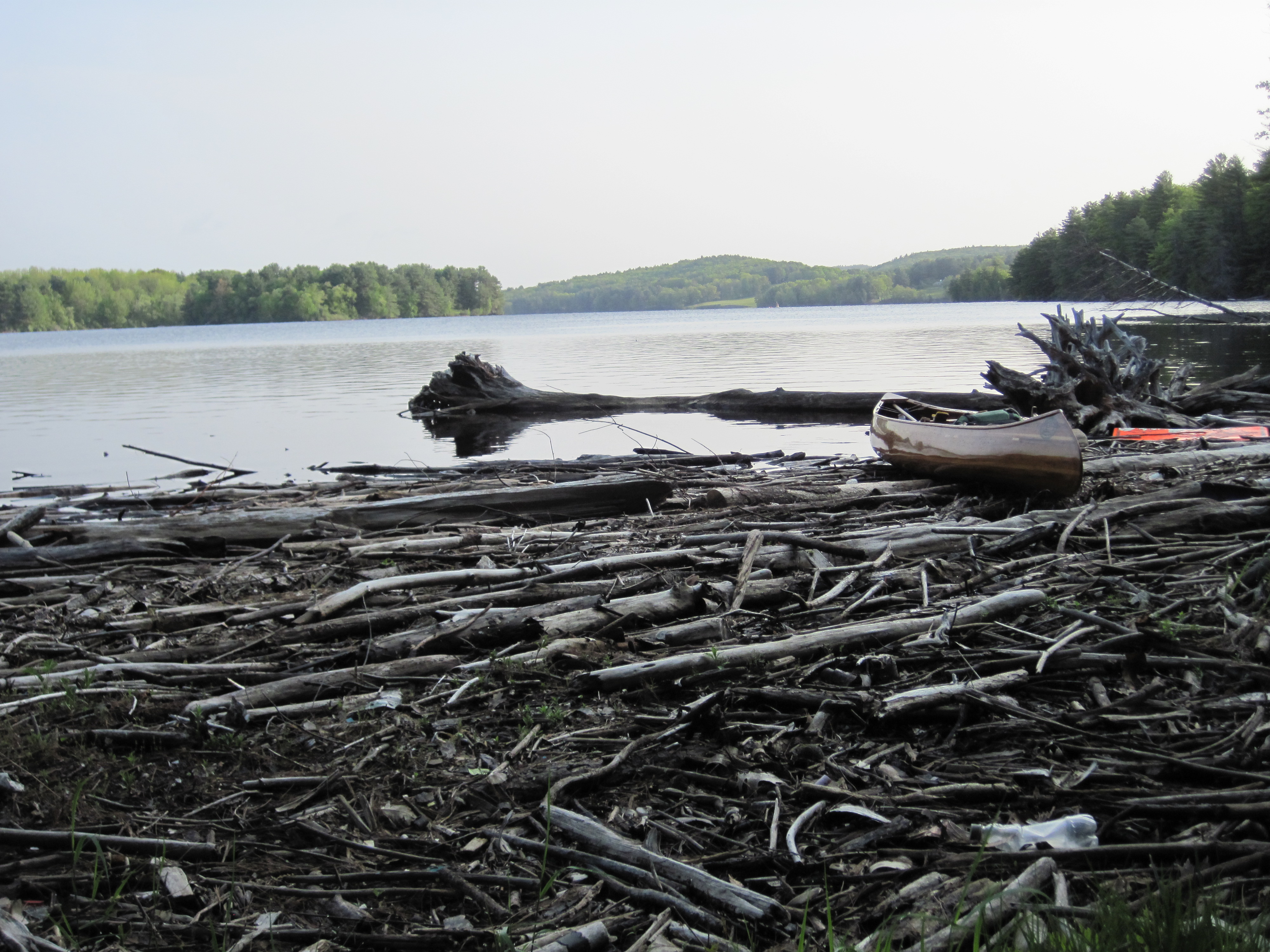
Contrary to what I had planned, the take-out for the carry around Gulf Island Dam was on river-left and was clearly signed. It was, however, heavily blocked by floating logs, so it was difficult to access dry land. The path was clear enough, although the two T-junctions (right then left) could have done with some signs. My dead-reckoning served me well, and before long I was putting in below this dam.
Take-out at Gulf Island Dam
Gulf Island Dam from below
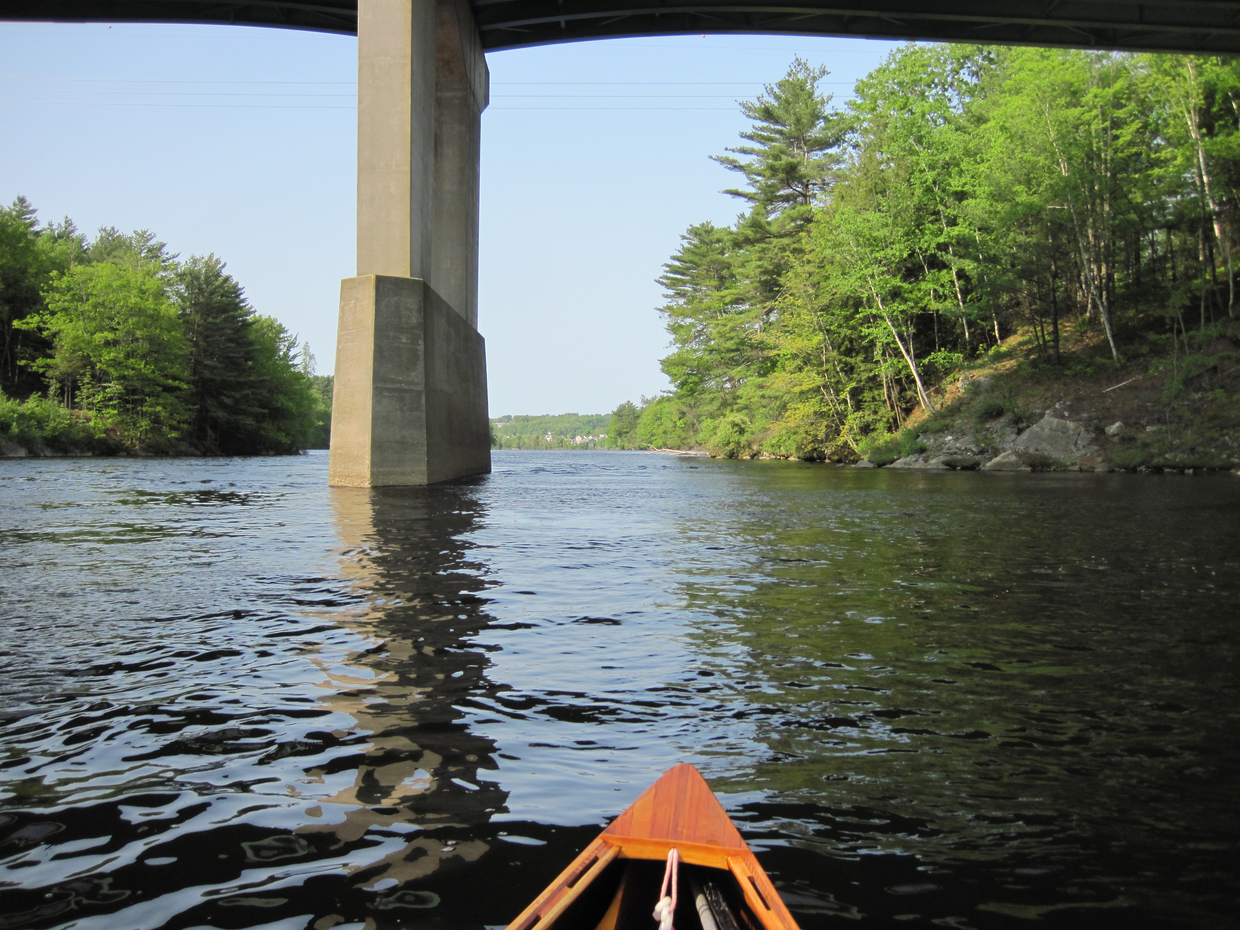
The short paddle to Deer Rips Dam was uneventful, and I found the take-out at a dock on river-right. The ‘Canoe Portage’ sign was on its side in the river, awaiting retrieval. The carry followed the fence along the edge of a field, bringing me once more to the river to face the south wind. The couple of miles to Auburn were a little tedious, not being able to get into a good rhythm, but, looking quite unlike what I had imagined, I soon found the boat launch and took out to carry into town, by-passing Great Falls and its associated dam. I carried past various fast food outlets into the heart of town, and then turned off to find the river walk and its interpretive signs. After being a tourist for a while, I moved on to the boat launch, locked up my canoe, and headed into town to find something to eat.
Here I bumped into Daniel, who had previously commented on my canoe, and who has canoes stashed in various places allowing him to access remote ponds for fly-fishing. He advised me that the centre of Auburn is not a good place to try to eat, but recommended Rolly's (which I held in my mind as Raleigh's - I still don't have the interpretation of the accent perfected) which could be accessed from the Little Androscoggin River, which merged with its larger cousin just a few hundred yards downstream. I unlocked the canoe, launched, found the tributary and headed upstream until rapids intervened. Here I locked up the canoe in a small park and quickly found Rolly's Diner (and realised my mistake). It was time for a breakfast of tea, eggs, bacon, hash browns and baked beans, and the waiter was happy to plug my phone in to charge.
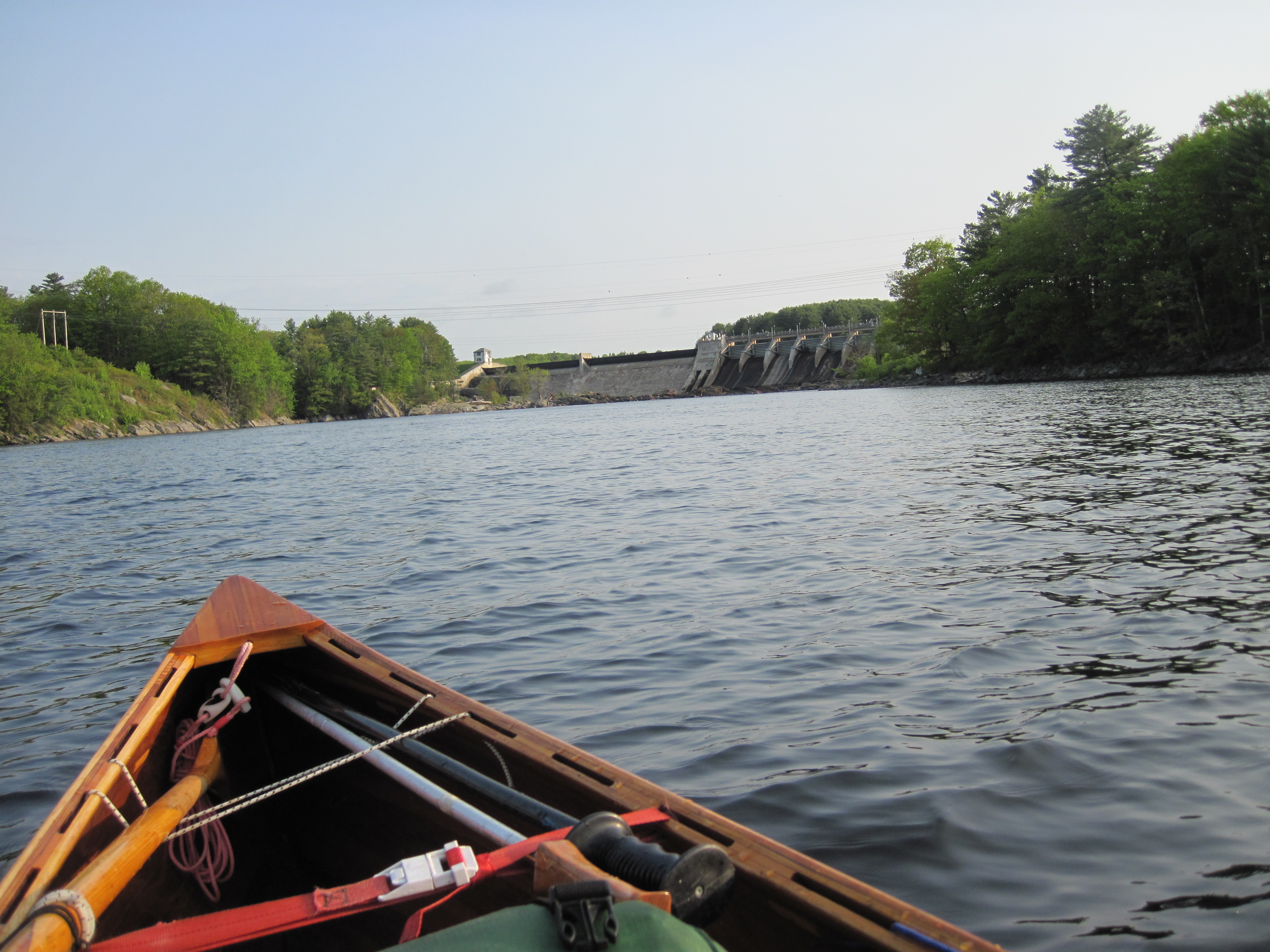
Androscoggin rapids
Civilisation close at hand
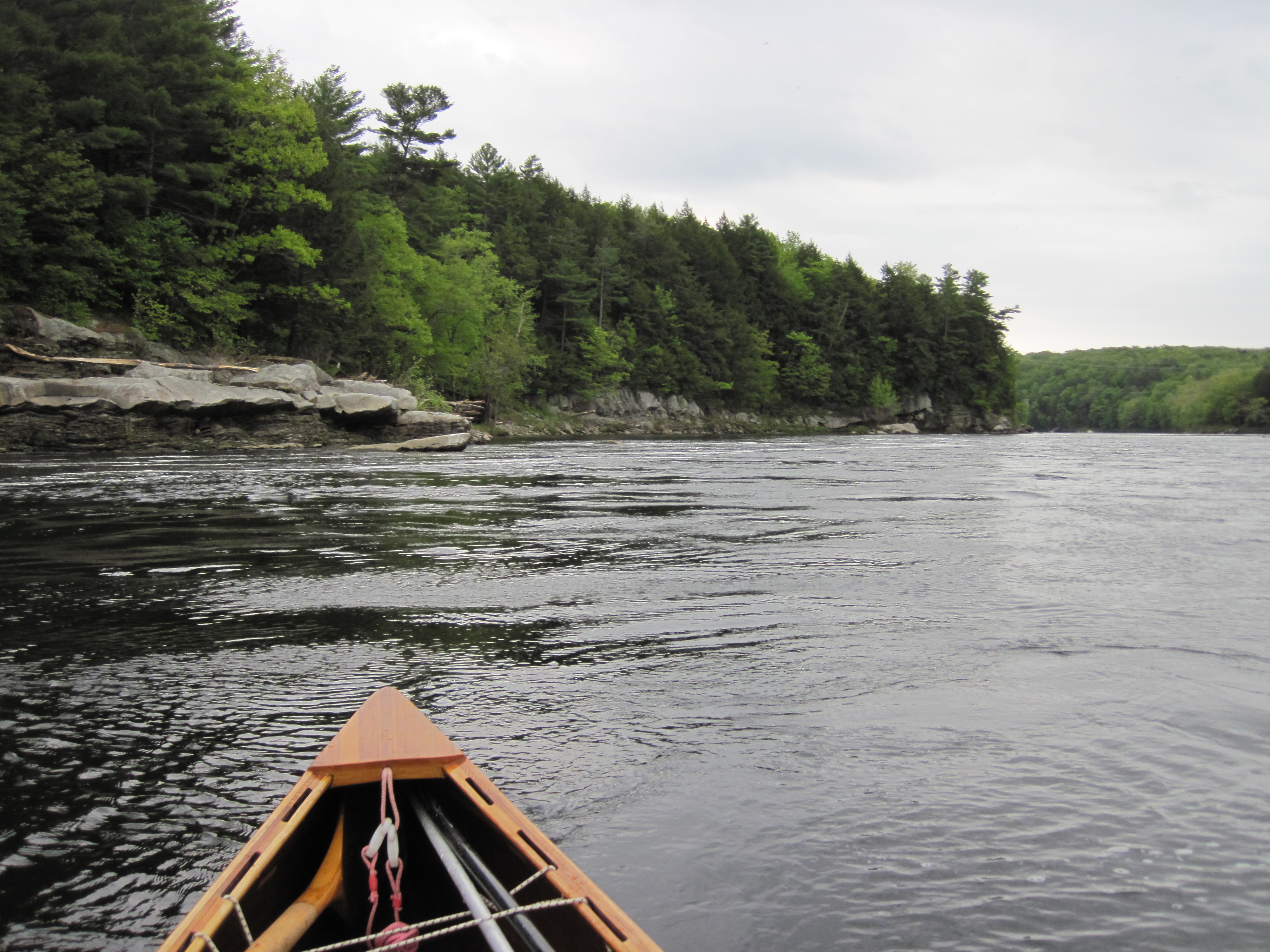
Androscoggin valley
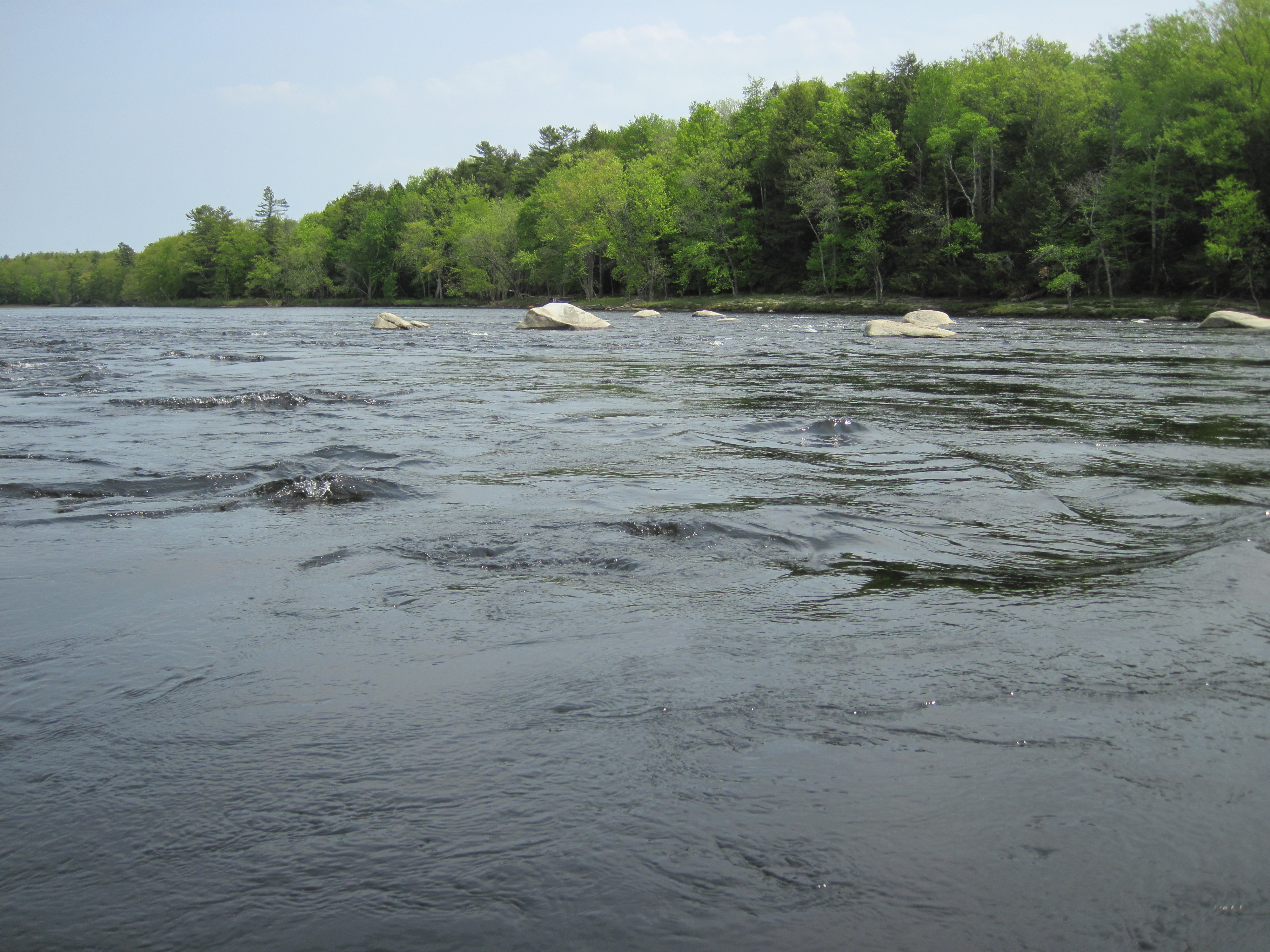
Androscoggin riffles
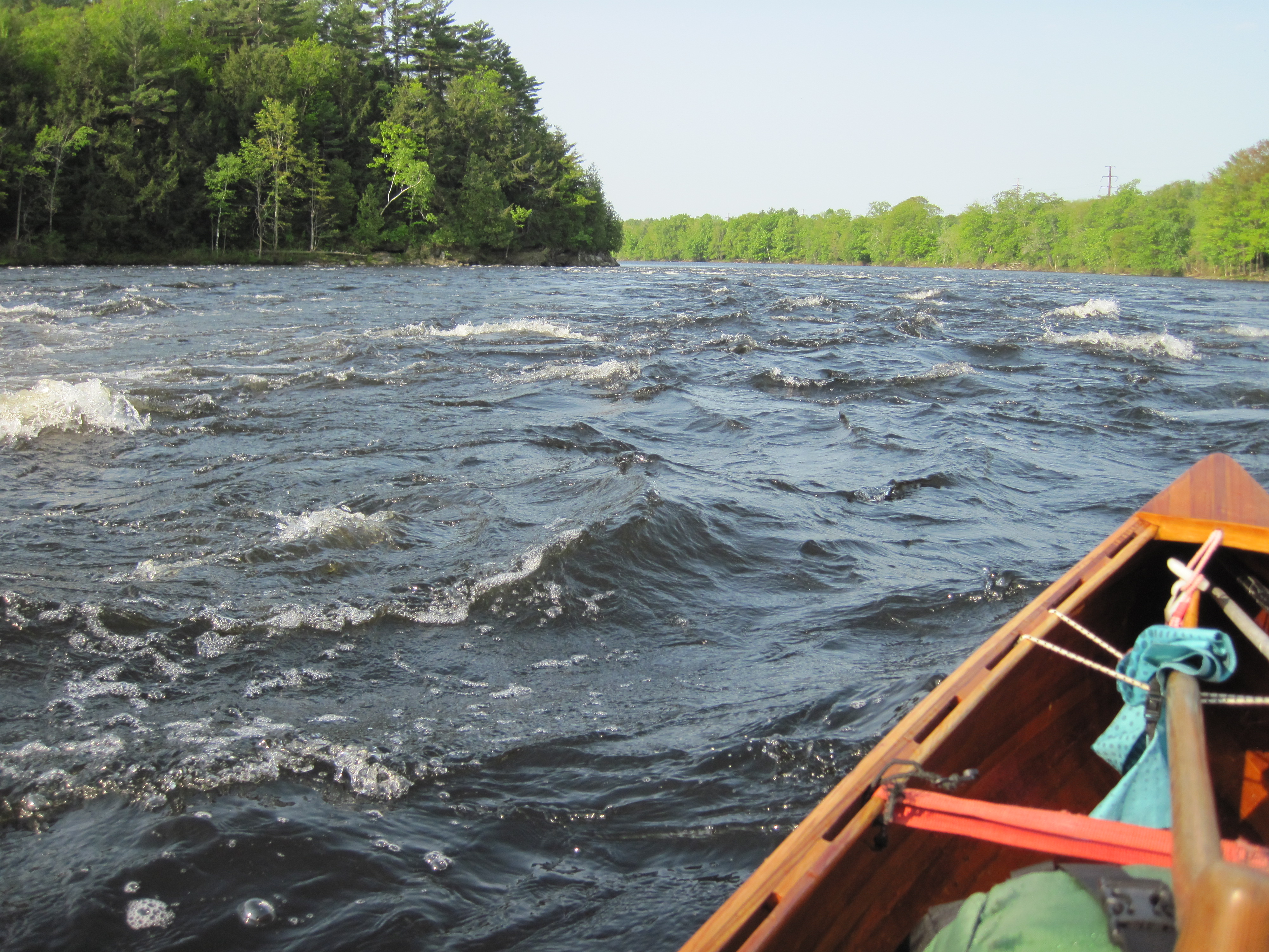
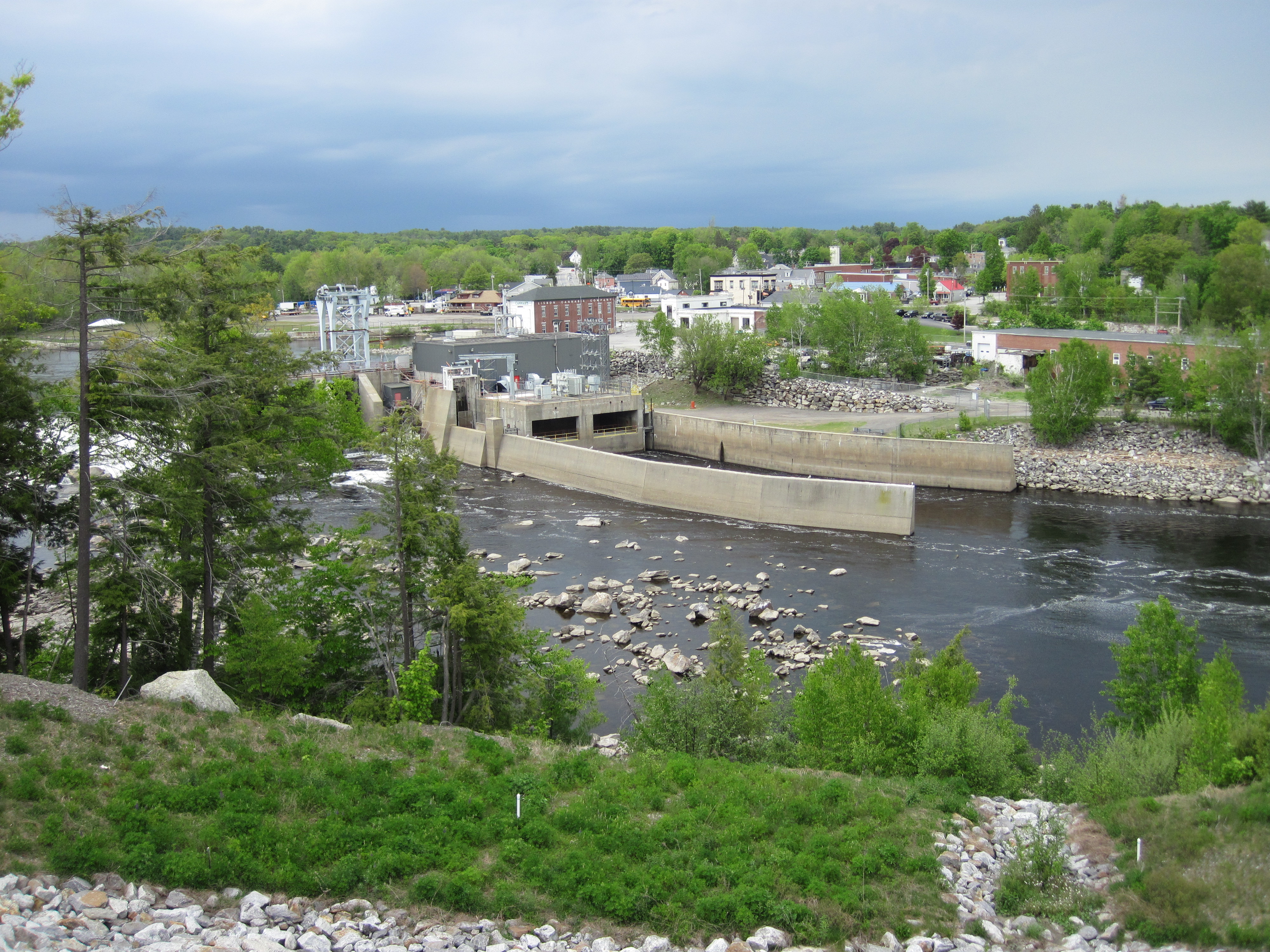
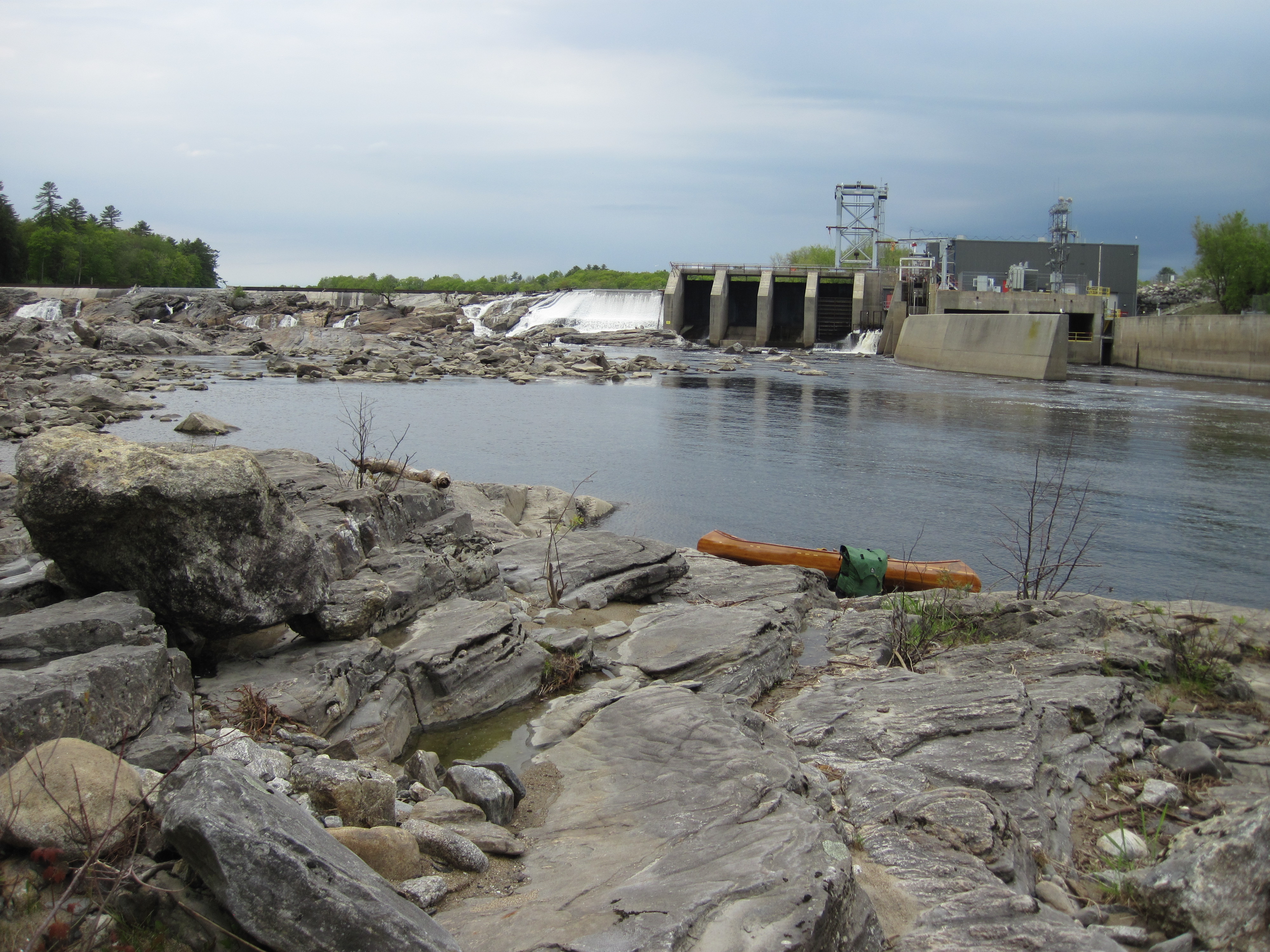
It was 10:30 am when my journey resumed, soon bringing me to a class II rapid. In trying to be clever and take a photo while in this rapid, I got too near the pour-over that I was trying to avoid, and the stern dropped on to a rock, the first rock strike on the Androscoggin. And I didn't get the photo - annoyance all round. A little farther downstream I came to the least engaging paddling I had faced so far. The river was wide with few features, Along the right bank was a main road, Route 136, atop the bank which was protected by rip-rap. And the wind was in my face, negating the effect of the current. A few more bends, however, brought me to the mouth of the Sabattus River on the left, together with a take-out into Miller Park, a place for some lunch. This is where I had originally planned to join the Paper Mill Trail, a riverside trail that would take me past the Lisbon Falls Dam. My research, had suggested, however, a shorter carry if I took out farther downstream on river-right. I now put this plan into action, paddling downriver to find Cedar Pond Road right against the river. Where it eventually diverged away from the river, I took out and started to carry, joining Newell Brook Road (Route 9) which led me to the bridge below the dam, as well as affording me views over Lisbon Falls from quite high altitude. At the bridge I climbed over a barrier to access a path leading down to the ledge below the dam. Other than the ubiquitous signs warning of rapidly changing water levels, there was nothing to indicate that I should not do this, so I launched from the rocks, having saved myself at least two miles of carrying.
Lisbon Falls
Launching at Lisbon Falls
Feeling somewhat pleased with myself I now carried on downstream, eyeing a couple of good camping spots, but I now wished to pass Pejebscot Dam. The take out that I used at this dam was less than ideal, and just as unmarked as the one right beside the dam that I saw later while carrying. The short carry led me to a flight of metal stairs. I declined to use the boat slide which ran parallel, although found this to be a nice touch for those with heavier craft. The last part of the carry was a route-finding challenge, picking my way down a steep drop and over large boulders, all viewed by some fishermen, who, to their credit, offered to help.
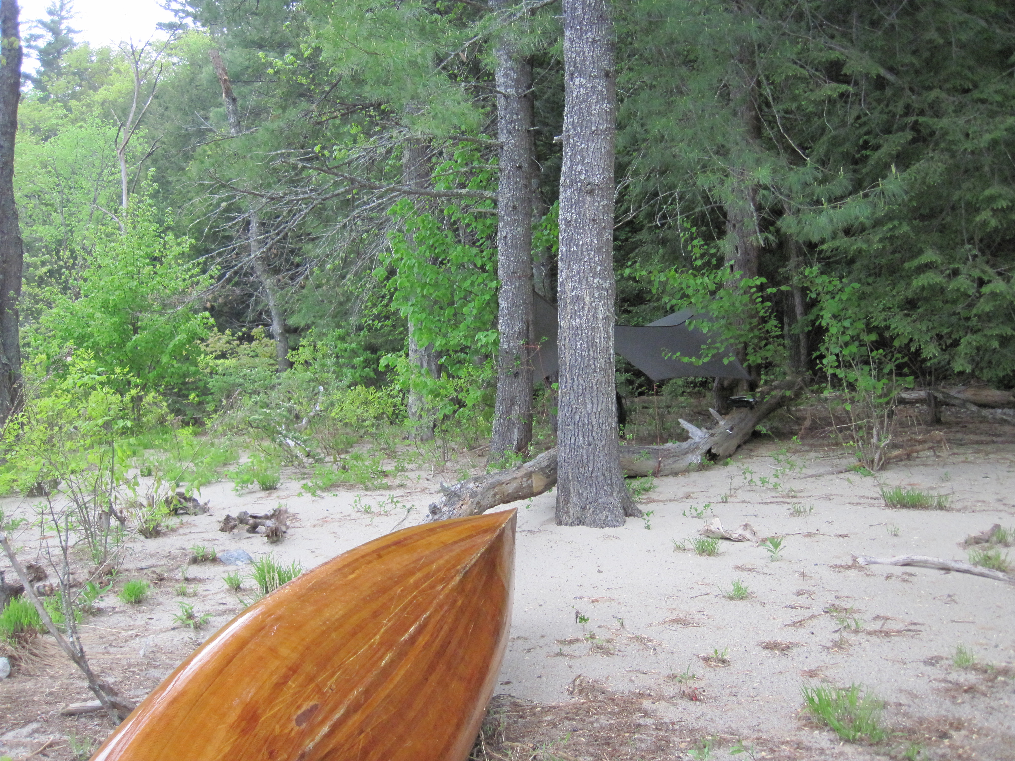
Below the dam I was in a gorge, and, just as I set off, the rain began to spit. Almost immediately I came to a sandy bank on river-right with some trees, so pulled out and rapidly set up the tarp. The rain was light and intermittent, allowing me to gather plenty of wood and cook a meal under the tarp. Today had begun and ended at about 5 o'clock. Once all camp chores were completed I hung my hammock and retired to it to write my journal.