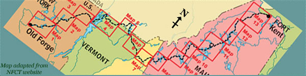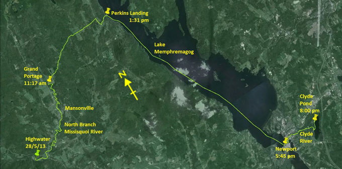
Day 10 route on Google Earth imagery
|
|
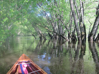
Last night was very cold, probably in the low 30s (F). I'm surprised in the morning not to see frost. Most of the night I kept my head
fully inside my sleeping bag to recycle the heat in exhaled air. If this continues, I'll sleep in my fleece hat. Whilst I am awake at
5:00 am – it seems to be the norm – I can't face leaving the sleeping bag for another hour. It's misty outside.
There's a bakery, much praised in other paddlers' blogs, in Mansonville, so I decide to skip making breakfast and to proceed there
instead. A gentle pack up has me on the water by 7:00 am, paddling through the mist. The river has dropped by about 18 inches, but is
still flowing fast. Gradually the sun comes out, driving off the mist.
|
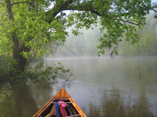
Misty morning at Highwater
|
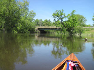
Eddies, wherever they may be
|
|
It takes only 20 minutes to reach the confluence of the north and south branches of the Missisquoi, and I turn left into the North
Branch. Some time later, as the river approaches the road, a road sign announces that I'm coming into Mansonville. The portage around
the rapids is well signed, so I take out and carry into town. The bakery is easy to find, but a sign on the door tells me that it is
closed on Mondays, Tuesdays and Wednesdays. This is a disappointment, to say the least. I love fresh bread and have been looking
forward to this moment. There's a deli just down the road, but that's also closed. I'm beginning to think that this place has nothing to
offer when I spy a tea-room on the east side of the road. This is the place to have breakfast, fuel for the Grand Portage.
Continuing the carry through town brings me to the put-in, and I paddle the remaining couple of miles to the start of the portage. It
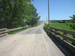
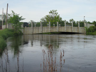
takes me an hour because of the current still and the lack of good eddies. At the Chemin Peabody bridge I take out on the south-east
corner – that's where it's easiest – and then spend time dressing my feet for the Grand Portage, a 5.7 mile carry from this point over
to Lake Memphremagog.
|
Chemin Peabody
|
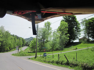
Start of the Grand Portage
|
|
I set a SPOT, and then start walking in 20-minute sessions, each being roughly a mile. The first three are uphill. At one point, on
putting down canoe and pack for a break, I notice that one of my water shoes, which was carefully attached to my pack, is missing. My
language is not for the faint of heart as I retrace my steps, unladen. Sure enough, there in the road lies my shoe, only a few minutes
from where I stopped. It could have been much worse. The loop that I used to attach it has pulled out, the first weakness in shoes which
are otherwise proving to be incredibly robust.
Going down the other side, I catch occasional glimpses of Lake Memphremagog, shining blue in the valley below. Excluding shoe retrieval,
my time for this portage is 2 hours, including breaks, confirming my estimate of 3 mph on good terrain fully laden. As I drop into
Perkins Landing, a truck towing a motor boat and another towing a jet-ski overtake me, putting me third in the queue. If only that shoe
had not dropped off …
|
Nearing the end of the Grand Portage
|
After nearly six miles of carrying
|
|
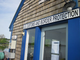
There seems to be no requirement to wash boats because, I'm told, there's no-one inspecting this early in the season. So there's no
paperwork to pick up. Nevertheless I wish to wash my canoe; I don't want to be the one who introduces the invasive species to this
beautiful lake. I also wish to wash my water shoes. Instead of pointing me to a hose-pipe straight away, the official tells me to chill
out and that he will be with me soon. I draw his attention about 20 minutes later, and he gives me the same message. After a further
20 minutes of definitely not chilling I attract his attention again, whereupon he admits to having forgotten me and points me to a
hose-pipe, which he could have done in the first place. After a thorough wash, I launch and set off for Newport.
|
Lake Memphremagog
|
Approaching Newport
|
|
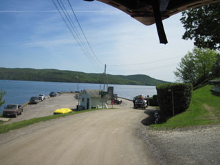
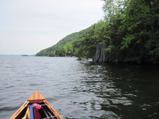
Lake Memphremagog is initially calm, but as I progress south, a moderate breeze springs up from the south-south-east. My trip to
Newport, expected to take 3 hours, takes half an hour longer because of this. As evening approaches, I pull up at the main wharf, tie up
the canoe, and locate the video-phone to be used for checking into the USA. It is a bizarre experience, especially when the officer
asks if my Vermont address is a holiday home; it seems that she thinks I am a visitor rather than a resident. Once all confusion
is cleared up, the process is simple. Knowing that I will be camping late tonight – my aim is to reach the campsite on Clyde Pond – I
take the opportunity to eat dinner at the Marina Cafe: chowder, and fish and chips, simple but good.
|
Check-in at Newport
|
Limited headroom on the Clyde River
|
|
It is 7:00 pm by the time I push away from the wharf to find the Clyde River. As I pass under the road bridge, I feel considerable
current. I know that this is an upstream section, but still it takes me by surprise. At the first bridge there is clearly far too
little clearance to pass under it, so I have a short carry to make. I return to poking along in eddies, and it feels far too soon to be
doing so after the last several days. A little before the Clyde Road bridge, the current becomes so strong as to make progress nigh on
impossible. I take out on the right and begin the carry up Clyde Road and Upper Clyde Road to Clyde Pond. It's a steep climb, and the
rapids in this section are substantial. Eventually I make it to the top, and am distracted by a couple with a dog and almost miss the
put-in at the dam, but don't have to backtrack far.
|
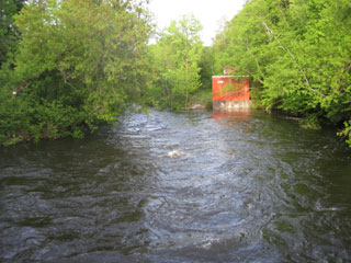
Clyde River
|
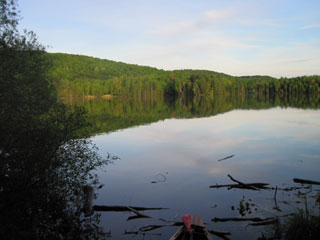
Clyde Pond
|
|
As I put in on Clyde Pond all is still except for some locals fishing at the boat launch. I paddle past them, scouting places to camp,
almost as far as the river entrance, before realising that the best place is close to the boat launch, so I return there. Trees of the
right spacing are easy to find, although a flat spot for a tent might have been a tough prospect. I string the hammock, and then gather
firewood, tinder and birch-bark for the morning in case of rain, and cover it with a sheet of metal which happens to be lying there. It
was about 8:00 pm when I arrived and set a SPOT. The light has almost gone by the time I'm camped. I round off a 13-hour day writing my
journal by head-lamp.
|
|