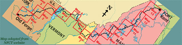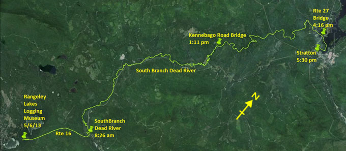
Day 18 route on Google Earth imagery
|
|
As expected the night was cold. I spent much of the night with my head inside my sleeping bag, recycling exhaled heat. The picnic table
proved not entirely comfortable, but afforded the peace of mind that it would be dry in the event of rain. I have a late start, rising
about 6:00 am. The wood-stove works fine to cook breakfast, and, soon after 7:00 I continue the carry to the Dead River. This is more
new territory: our trip last year started at Rangeley.
The carry along Route 16 is comfortable. I notice that my legs have certainly adjusted to the load, carrying even the re-stocked pack
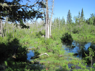
with ease now. After something over an hour of carry, I see water to my left. The map suggests that this section of the Dead River may
be too shallow to paddle. What I can see looks more like a swamp, with hardly any channel at all. I'm resigned to continuing the carry
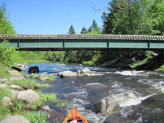
along the road, but almost immediately come to a bridge over the real Dead River, very clearly navigable by canoe.
|
Dead River? No way!
|
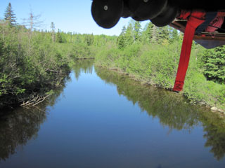
The real Dead River
|
|
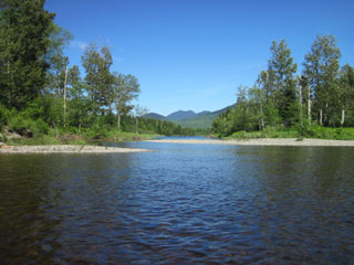
With relief I put in and begin to paddle down what proves to be a very beautiful river. Maybe that's helped by the weather: the sun is
out and the sky is blue. There's still a bitterly cold north wind blowing, though.
|
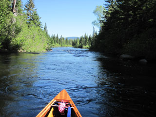
South Branch Dead River
|
South Branch Dead River
|
|
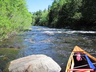
I encounter many rapids, class I and II, and negotiate them with a variety of success. Although today provides probably the most
beautiful paddling yet, it's also the most cruel to the canoe. The rapids are a little bony, and I scrape several rocks. I scrape more,
however, on those sections that I choose to wade. Other than carrying there seems to be little option. I reflect that this is where the
solo paddler is at a disadvantage: there's no-one to help manoeuvre the canoe around and over rocks. While trying to keep my footing on
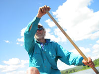
slippery rocks, I have to do all of this myself. I soon discover a use for the ski poles. I use one as a third leg for stability while
manhandling the canoe with the other hand. This saves several potential slips and duckings.
|
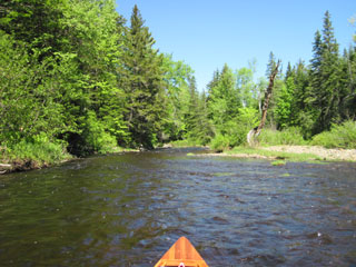
Route finding ...
|
... can be challenging
|
|
Although this is a day of intense concentration, I am still able to enjoy the surroundings and spot wildlife, including something
otter-like but chunkier and with a stubbier tail. It's not a beaver, maybe a fisher? The rapids eventually give way to slacker water
which meanders out into Flagstaff Lake. The Route 27 road bridge comes into sight, and I set a SPOT there before, on the advice of a
local, paddling around the headland into the cove and taking out at the public landing. The White Wolf Inn is a short carry up to the
main street and more or less directly across.
|
Calmer waters
|
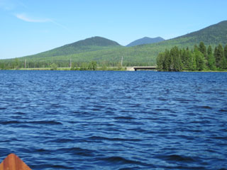
Route 27 bridge, Stratton
|
|
I check in, have a shower, and get the latest weather forecast – the wind will be from the south-west tomorrow (that's fine for
Flagstaff Lake), showers are coming on Friday and more rain on Saturday. It could be worse. The microwave is pressed into service to
make tea, and I find a meal in the local general store. There are few nights of comfort remaining, so I savour every moment of this one.
|
|
* Renamed Maine Forestry Museum
|
|