|
The portage past the Mud Pond outlet presented no difficulties, and my compass bearing across Mud Pond, another delightful pond despite its name,
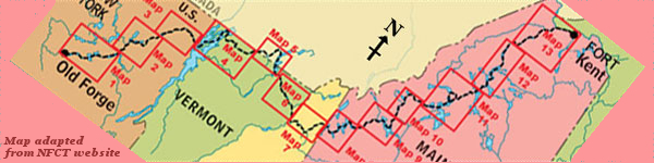
brought me perfectly to the start of the infamous carry, identified by a sign proclaiming that Chesuncook was only 11 miles away*.
In the early part of the carry I was on floating bog, each step sinking to about knee level and then climbing out, fully laden, on the next step,
only to repeat. After a while the going got easier. There was no indication of which direction to head, but some trampled vegetation extended away
along an approximately correct compass bearing. Several times I put down the canoe and scouted ahead before proceeding.
After an hour I had reached high ground, but was then faced with a transverse bog blocking my path. I initially worked my way across a fallen tree
to scout the other side, not wishing to deviate from my course, but found no evidence of any kind of trail on the other side, so retraced my steps
to the north side. Scouting there, I found a yellow sign with a black arrow face down, giving no indication whatsoever of which way to
go. It did suggest, however, that I was on the right path. Scouting to my right told me that the bog eventually bent to the southwest, and there was
a fairly clear path leading in the right direction, so I retrieved pack and canoe and headed in this direction.
After carrying down this path for a way, it began to be less well defined. I scouted both left and right, leery of losing track of the canoe, but
found no obvious channel. It was time for more compass work. I would move forwards on the correct bearing, realise that the canoe was not going to
fit between trees, and then reverse out to try a different adjacent route. After several such shunts it was clear that I was no longer on any kind
of a path, and also that I had no way of successfully retracing my path. I had no option but to continue forwards, staying as much as possible on
the correct compass bearing. The bushwhack went from bad to worse, with very closely spaced young trees. The canoe, over my head, took some abuse
as I forced it between trees which protested as they bent outwards. Many times I had to reverse course to try a slightly different route, until I
reached a point where there seemed to be no way out. I was hemmed in on all sides, carrying a load which was too large to move in that region. In
short, I was lost and I was stuck.
It was now the heat of the day, and my water bottle, full at the start of the carry, was almost empty. I am not one to panic easily, but could
feel the unfamiliar, yet unmistakable, feeling of it rising within me and actively had to tell myself to be rational. I knew there was a road to my
west and another to my south. Even if I had to abandon the canoe, I could rescue myself. That knowledge, extreme though the action might be, was
enough to calm me. With determination and no shortage of brute force, I shoved my way, still with the canoe on my shoulders, through spaces where we
really didn't fit, and suddenly emerged into a logged area.
The trees had been felled and were lying in neat rows, not yet collected. In relief I walked for a while, hopping from trunk to trunk, and then
remembered that I was extremely thirsty. I put down the canoe, drank the last of my water, and went to take a picture of my surroundings. The
camera, previously attached to my pack belt, was missing. The camera with the photographic record of the first four-and-a-half days of this trip was
missing, lost somewhere in the thick of the Maine woods. Almost certainly it had been ripped off the belt while forcing my way through thick
vegetation. The elation at having some freedom of movement turned to utter despair. How would I be able to share this journey with anyone without
a photographic record? The whole trip suddenly became amazingly pointless.
But the first priority was water. I succeeded in finding a small boggy hole, maybe 6 inches in diameter, with some standing water, well, more of a
brown soup than water. I extracted the water filter from my pack and managed to pump about two-thirds of a litre before it clogged completely. That
would have to do. At that point I sent a SPOT waypoint telling my support crew that I was delayed. They would not have any detail, but would be on
the alert for the next message. Another such message would mean that I had a real problem. An “OK” message would mean that the cause of
the delay was benign and all was in order once more. I then went in search of my camera, but soon realised that retracing my steps would both be
almost impossible and risk taking me out of sight of canoe and pack, which I was loath to do. My search was cursory and unsuccessful.
I now set to some reasoning: the machinery that felled these trees came in from a road. If I followed the path of felled trees, I would reach that
road, and the orientation of the road would immediately tell me which of the two nearby roads it was. With heavy heart I loaded up, sick to be
leaving my camera and all that it represented, yet unable to find an alternative course of action. I continued to pick my way over felled tree
trunks and, maybe 15 minutes later, espied a road through a thin band of trees. I pushed through to this sanctuary, saw that it ran NW-SE, and so
identified it as Grand Marche Road that I should have crossed if on the correct trail. At that point I sent an “OK” SPOT waypoint to
alleviate any worry that my previous message might have elicited.
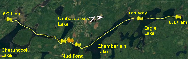
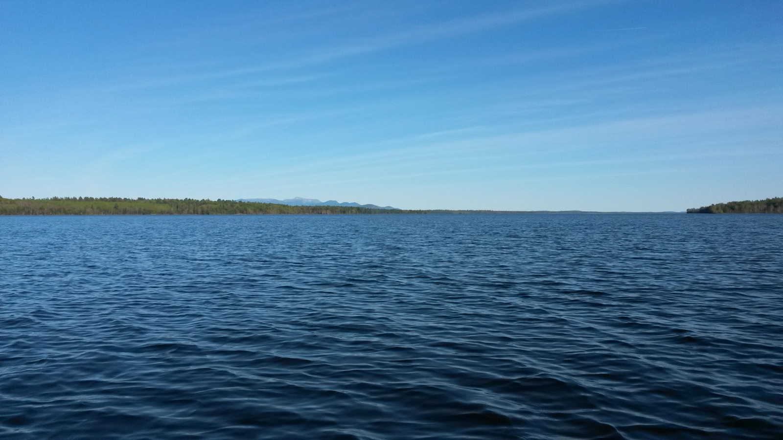
Now I did not know if I was north or south of the real path, but knew that I was close to Umbazooksus Lake. A little to the north of me there was
an opening in the woods on the lake side. This I scouted for a way, and it looked promising, so I loaded up and tried it, only to find that this too
deteriorated into a bushwhack. Common sense kicked in, and I reversed direction before becoming too embroiled, regained the road, and carried south
to Longley Stream Road where I turned right and eventually came to the Umbazooksus Lake access. Having started the carry before midday and
completed well over half the distance within the first hour, it was now after 3:30 pm. I had lost about 2 hours through getting lost, although at
the time it seemed much more.
A quick wash was followed by cleaning the water filter and pumping a fresh litre of water and consuming most of it. Another SPOT waypoint confirmed
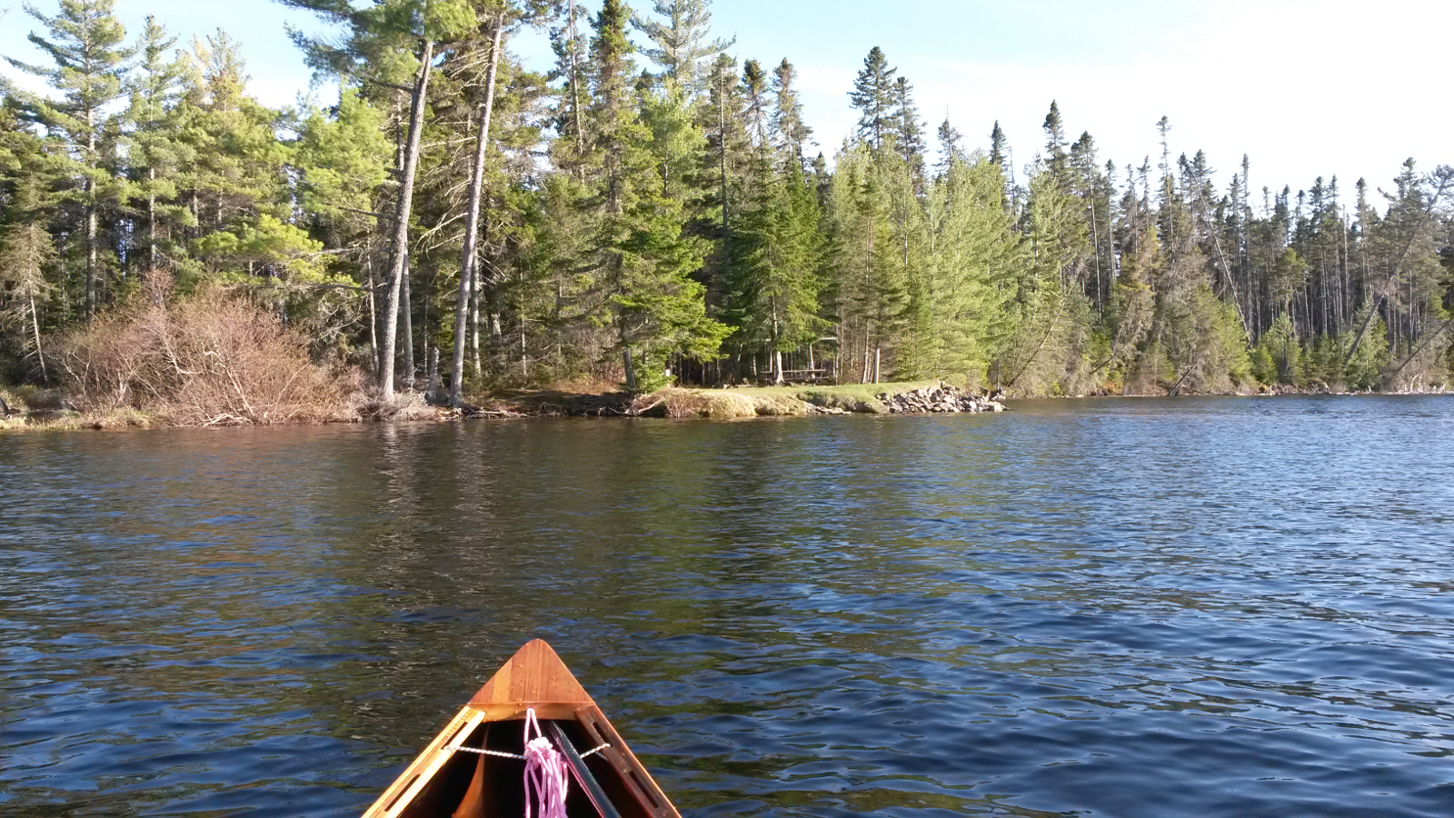
that I was by water again. I then paddled all of 20 yards on Umbazooksus Lake before coming to the sluice at the exit. The drop looked more than I
was prepared to risk, so I carried over the road and put in to Umbazooksus Stream. As I enjoyed my first, albeit brief, downstream run of the trip,
I hit on the idea of using my phone as a camera. It's not waterproof, and I was not familiar with how it worked, but it might salvage something. I
had been keeping it switched off to preserve battery. Now I switched it on. Having a solar charger with me allowed me to be confident of keeping the
phone charged, provided the sun continued to shine and I didn't over-use it.
|