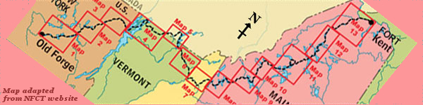
Day 9 route on Google Earth imagery
|
|
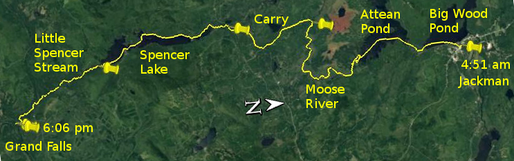
I was up by about 4:00 am, and, with not much to pack, was out of the motel by 5:00 and on the water by 5:15 in Big Wood Pond, much calmer than
yesterday. It was a cloudy start to the day, with the sun not yet up as I made my way, taking it easy, towards the Moose River link to Attean Pond.
Crossing Attean Pond the sun put in an appearance.
|
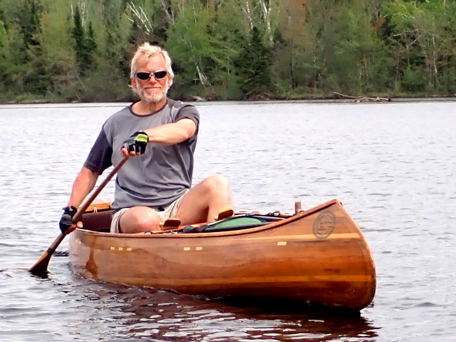
Embarking on Big Wood Pond
|
Heading for Attean Pond
|
|
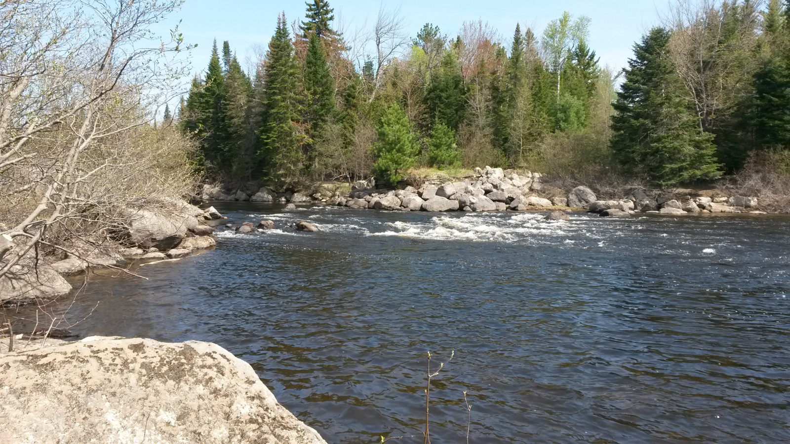
In the southeast corner of Attean Pond I struggled to find the entrance of the Moose River, and ended up too far to the southeast, paddling up a
river which just didn't seem quite right. I took advantage of a deadfall as an excuse to back-track and try farther west, where I found a more
familiar-looking river and began to ascend the real Moose River. Looking later on aerial imagery it became evident that I was on another branch of
the Moose River and would have converged with my intended route before too long.
As upstream goes, this river was quite benign, mainly deep and slow-flowing, so I made good time in eddies along the bank. A few spots were
shallower with more current, requiring more effort, but mostly it was quite easy going. Although I could have waded up Attean Falls, I decided to
keep my boots dry for now, so I carried past them, somewhat annoyed that a paddler camped there had left his canoe in the take-out. No doubt that
was ready for him to make an easy start once he had finished his breakfast, but it made my exit awkward. He didn't even register that this might
have been an inconvenience.
|
Attean Falls
|
Moose River
|
|
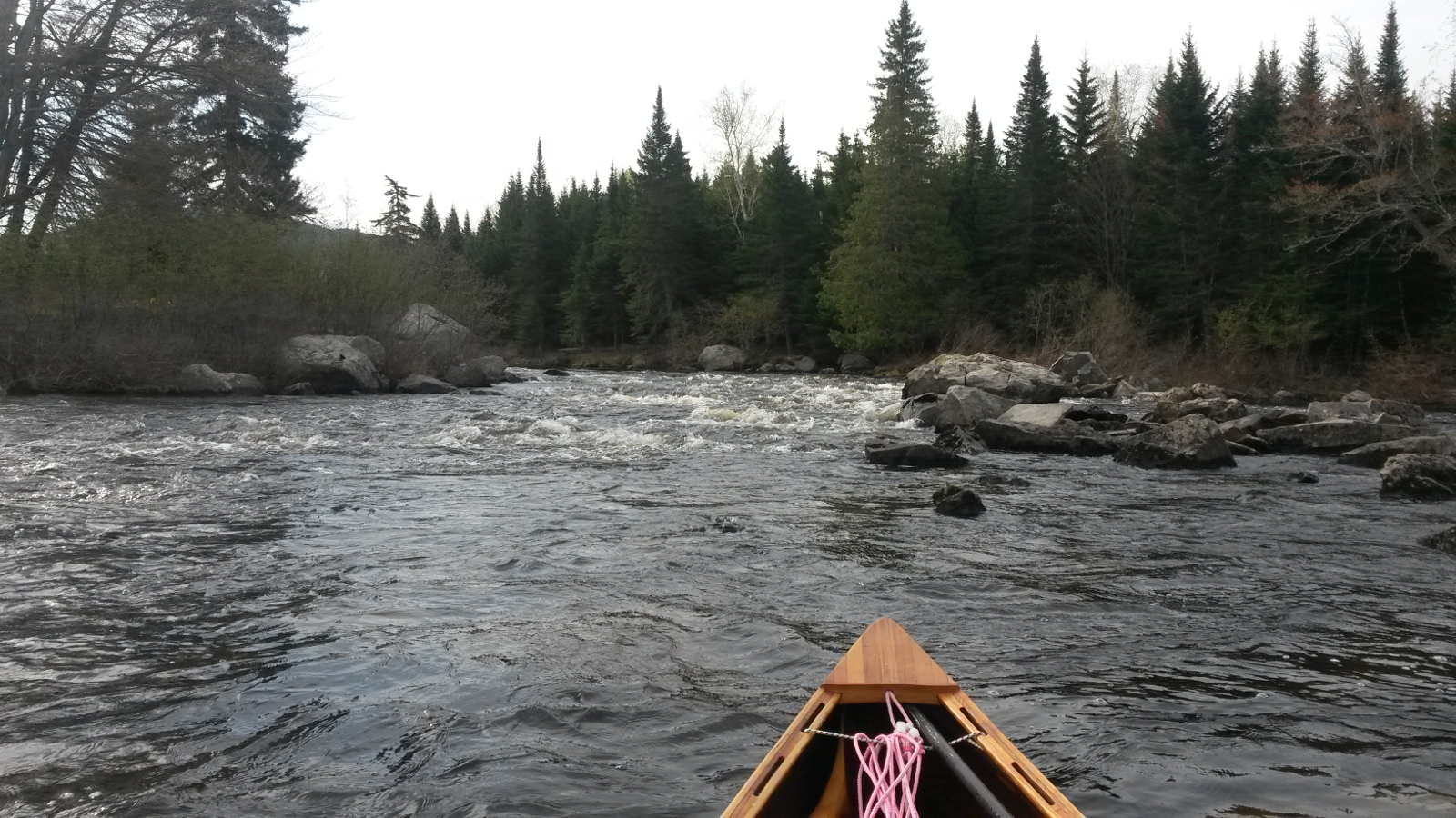
Towards Spencer Rips, navigating through a rocky section where not all of the barely submerged rocks were as visible as I would like, I passed,
going downstream, a duo paddling in determined fashion, clearly on a mission and in no mood to stop and chat. The sign-in box at Spencer Rips
identified them as through-paddlers from New Hampshire and Michigan. I added my own entry below theirs.
|
Moose River
|
Spencer Rips
|
|
The 5.5-mile carry to Little Spencer Stream was uneventful, just hot and long. The road was easy to follow, and I even took time to visit the
memorial to the prisoner-of-war camp which was once situated just off Hardscrabble Road (Spencer Road). With a few rests I completed this carry in
under 2 hours.
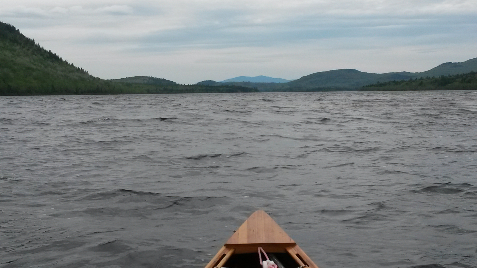
Heading down Little Spencer Stream I became aware that the wind was rising: trees were bending. As I emerged into Fish Pond I was met with a 15-20
mph wind from the south, i.e. a strong headwind once more. I hugged the shorelines of Fish Pond and then Spencer Lake, but there was little shelter
to be had. The beauty of Spencer Lake was lost amid the head-down slog into the wind. I did, however, take a break on one of the glorious beaches,
choosing a north-facing beach for some shelter. It was an opportunity to refuel. Then it was back out into the melee, waves being driven north
over several miles of fetch. The farther I progressed, the smaller the waves became in accordance with the reduced fetch, until, when the dam came
into sight, the water was merely riffled by the wind.
I started scanning the shoreline for signs of the new improved portage. No more would it be necessary to scale rocky cliffs wielding canoe and pack.
The portage was not obvious, there being no signs, but eventually I found a region which had evidently been somewhat cleared of vegetation. The
landing was rocky, far from ideal, but the lure of an easier carry put this into perspective. I followed the directions, headed uphil and turned
right on a logging road … and ended up on top of the dam instead of around it. Retracing my steps, I continued farther up the hill and found a
second logging road, turned right and followed it down to where some canoes and poles were stored. This was clearly a place to put in.
Little Spencer Stream was shallow and bony. I ran most of it, but was forced to wade in places. My canoe picked up some scratches, but nothing
drastic. The wind made the deadwaters at the top somewhat miserable, blowing still directly in my face. Once in the confines of the narrow valley,
however, it was more sheltered. The run down to the confluence with Spencer Stream took me 1.5 hours, exactly half of what it had taken me to ascend
that same section 5 years previously. Spencer Stream was similarly shallow and bony, but mostly there were channels to navigate.
|
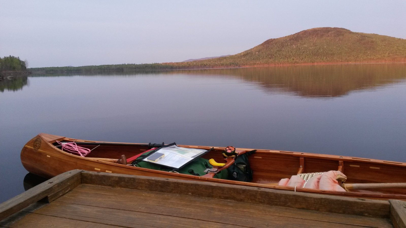
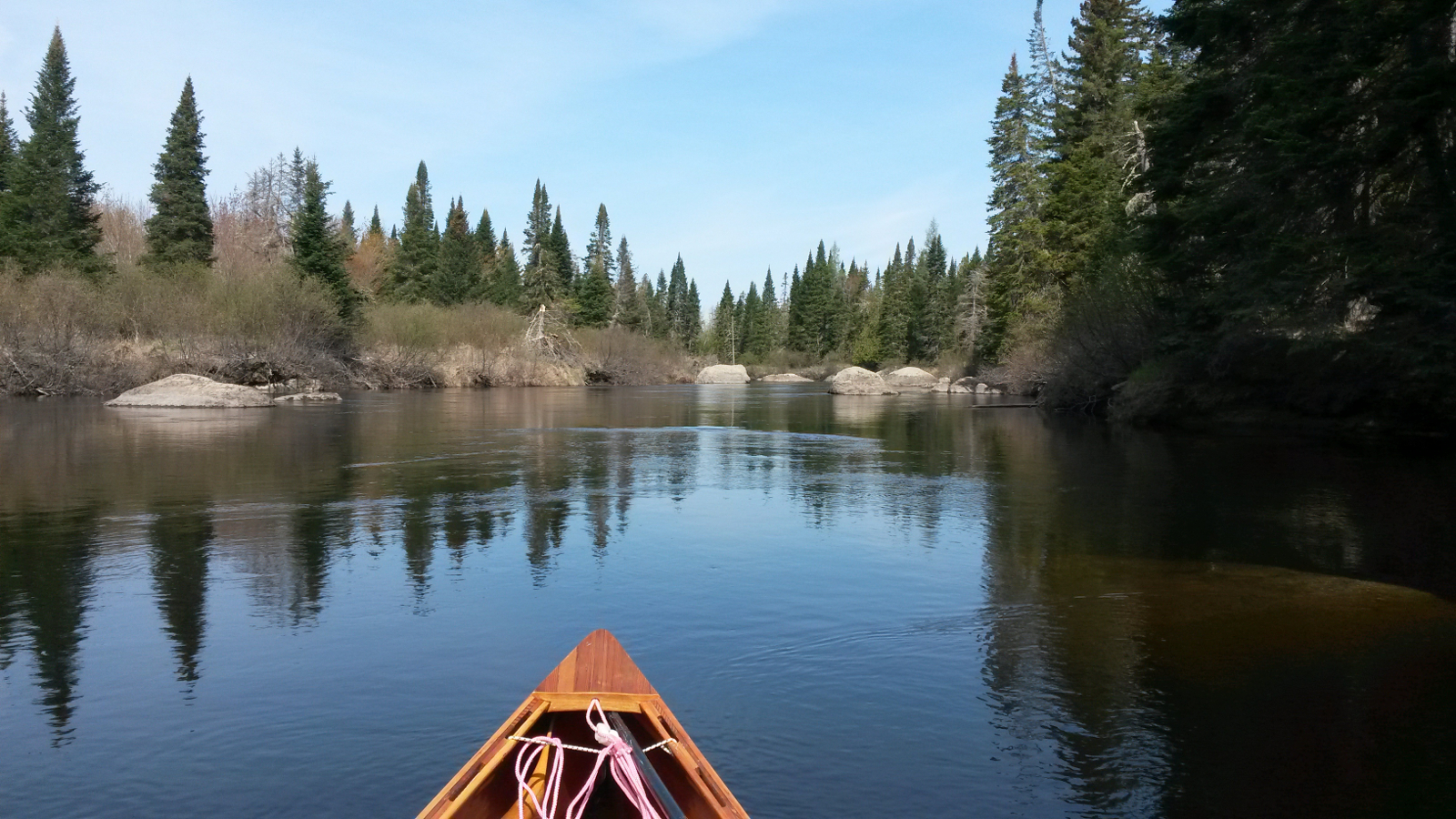
Spencer Lake
|
Grand Falls
|
|
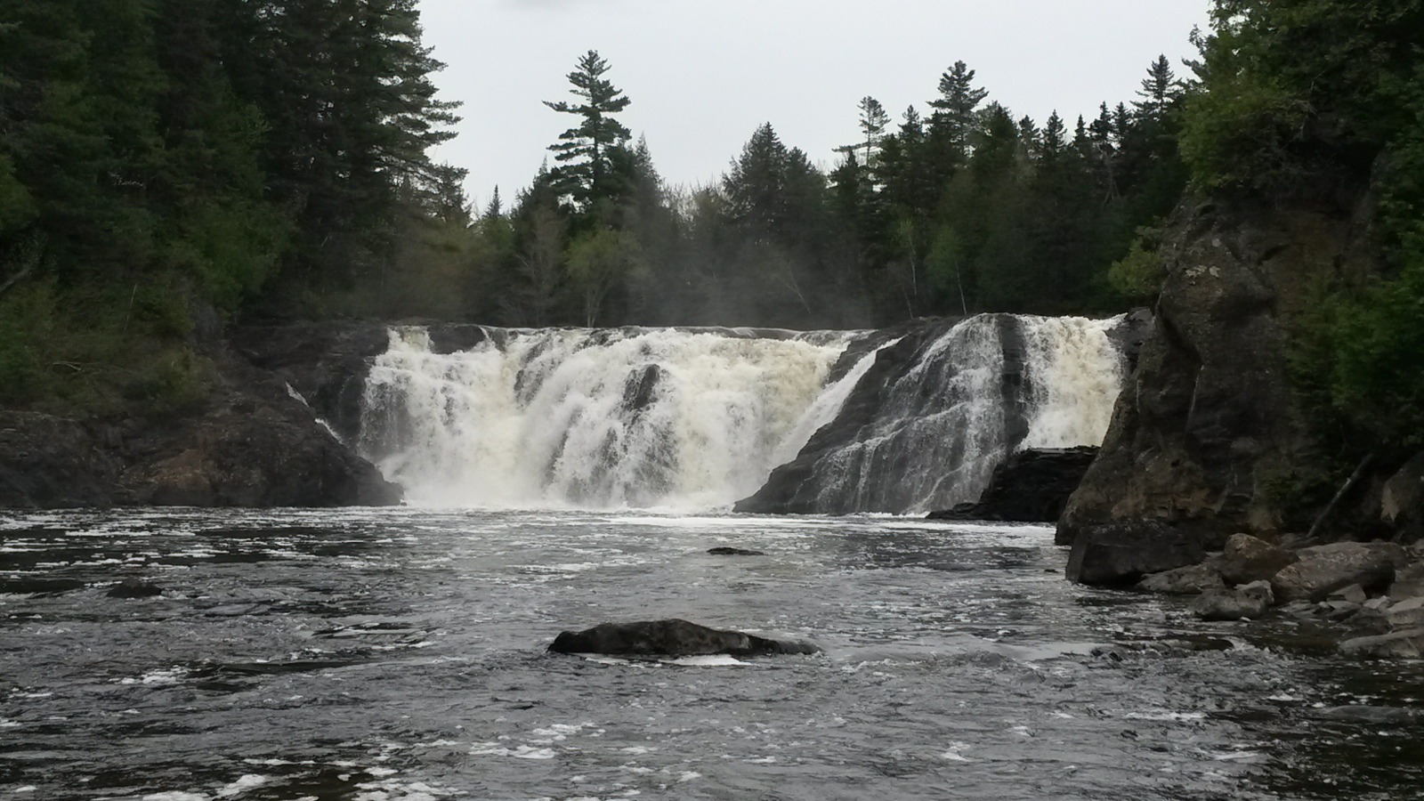
It was late afternoon by the time I reached the confluence with the Dead River, about 5:30 pm, and I turned right, upstream, looking for somewhere
to camp. I had hoped to complete the Grand Falls carry and continue to the Philbrick Landing camp-site, but the headwind had dampened that ambition.
I visited Grand Falls, taking a photo to compare with the similar shot I took last time, and then took out at the start of the carry. Right there
was a nook in the forest, a place for a stealth camp. It would mean that I would start the day with a carry. This nook was not ideal, somewhat dark
and dingy, but it was serviceable. It soon became apparent, however, that blackfly season had opened, and they plagued me all evening. The previous
8 days of the trip had been almost bug-free, so I couldn't really complain (but I did!) Some light rain fell in the evening and into the night, and
I was in my hammock by 8:00 pm, escaping rain and bugs.
|
|