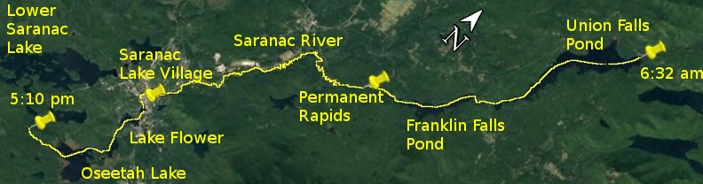
Day 25 route on Google Earth imagery
|
|
It was cold last night and still cold as I rose this morning. An exterior light across Union Falls Pond had competed with the waning half moon to
see which could provide more brightness through the night. Thinking that today would be straightforward (do I never learn?) I didn't hurry over
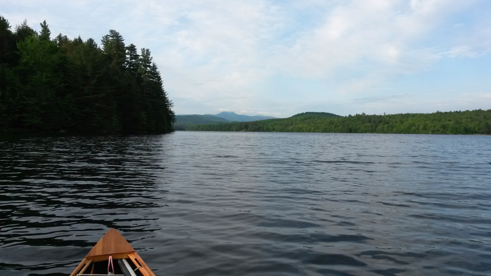
getting up, having breakfast and packing, so it was about 6:30 am when I pulled away easily on to a calm Union Falls Pond. The sun was as yet hiding
behind clouds. I used the first mile or so to warm up – my body was still recovering from Lake Champlain, and yesterday's long carry had not
really helped to put it at ease.
|
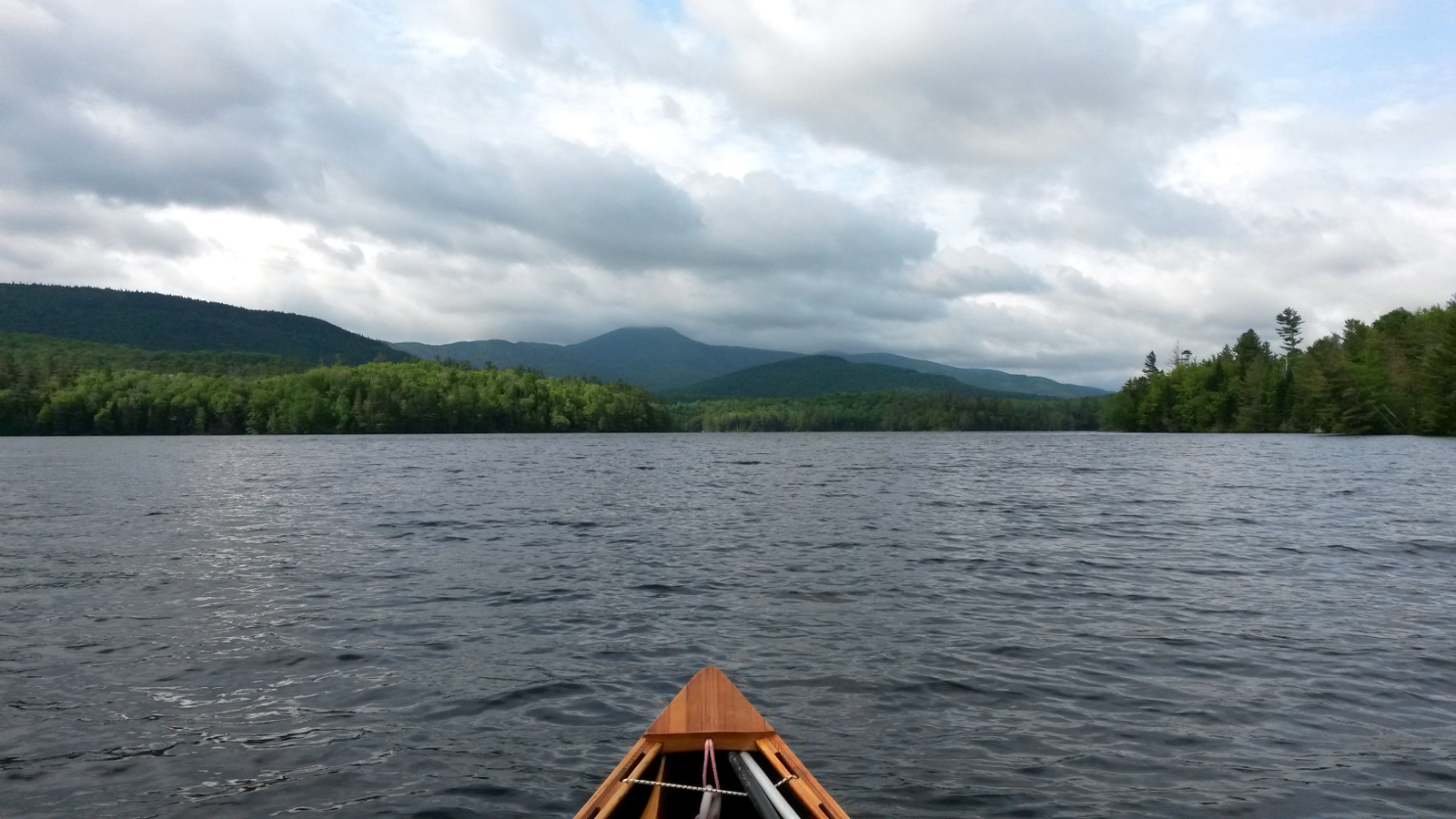
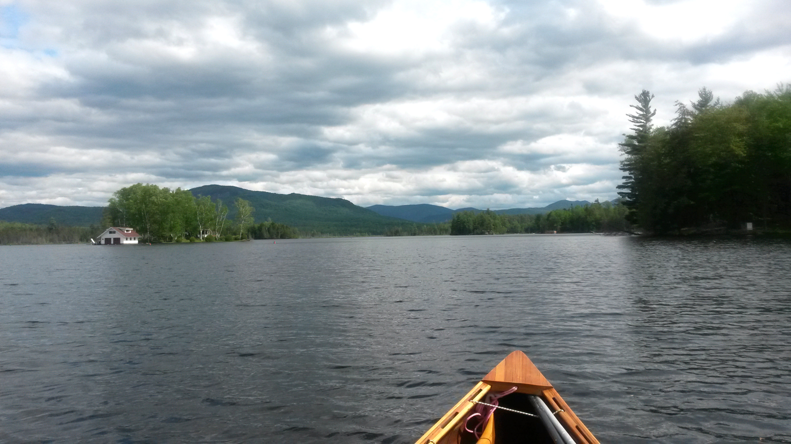
Union Falls Pond
|
Franklin Falls Pond
|
|
After about 30 minutes the wind began to stir, and soon was blowing at about 10 mph from the southwest. It was to keep this up all day,
strengthening at times. My direction of travel from Union Falls Dam to Saranac Lake? Southwest of course. The easy pull on calm water turned into
more of an effort than I wanted, not really feeling robust enough to fight the wind, and it took nearly two hours to reach the Franklin Falls Dam
carry. My southwesterly trajectory continued on Franklin Falls Pond, and the wind continued to oppose me. Strangely for a southwest wind, it was
cold. As the sun came out I was too hot, so shed a shirt. As soon as the sun went in, the wind chilled me once more, so I re-donned the shirt.
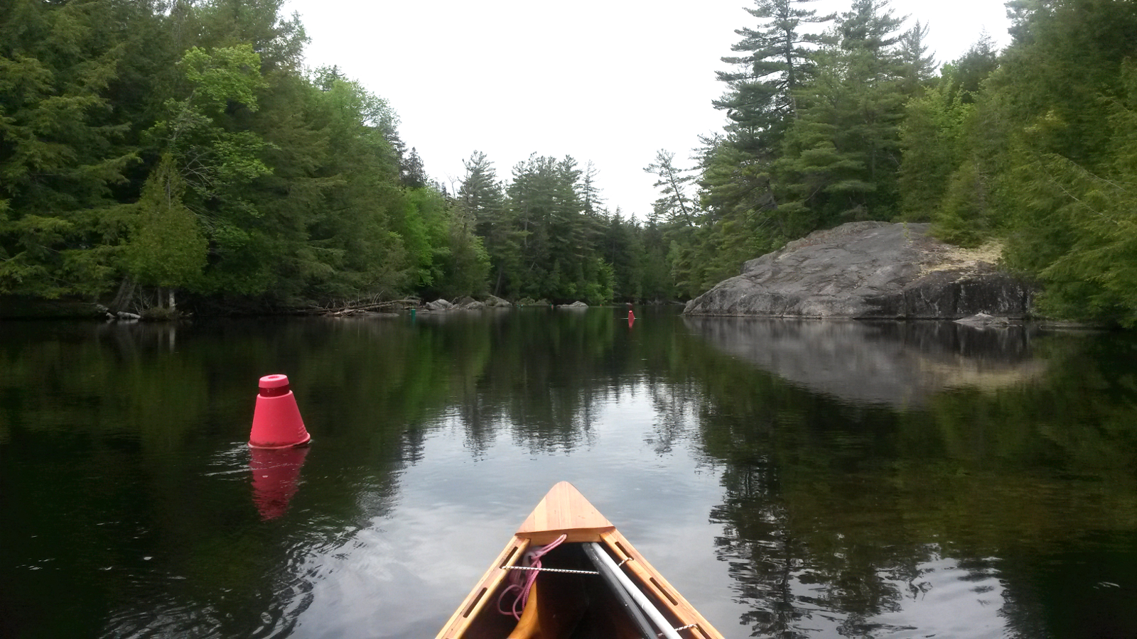
Another hour or so brought me to Permanent Rapids, and the easy carry along the road went smoothly. As soon as I put back in, the current became
very noticeable. I was back to hugging the bank, seeking eddies wherever they might be, pushing off the bank, back to the strongly thigmotactic
being that I had become. A couple of times I started up a cul-de-sac, but was alerted by the lack of current – it was too easy. I carried
around the LaDuke bridge, noticed the nearby lean-to which had been my intended overnight before I gained time, and continued the long, seemingly
interminable ascent of the meandering Saranac River towards Saranac Lake Village.
|
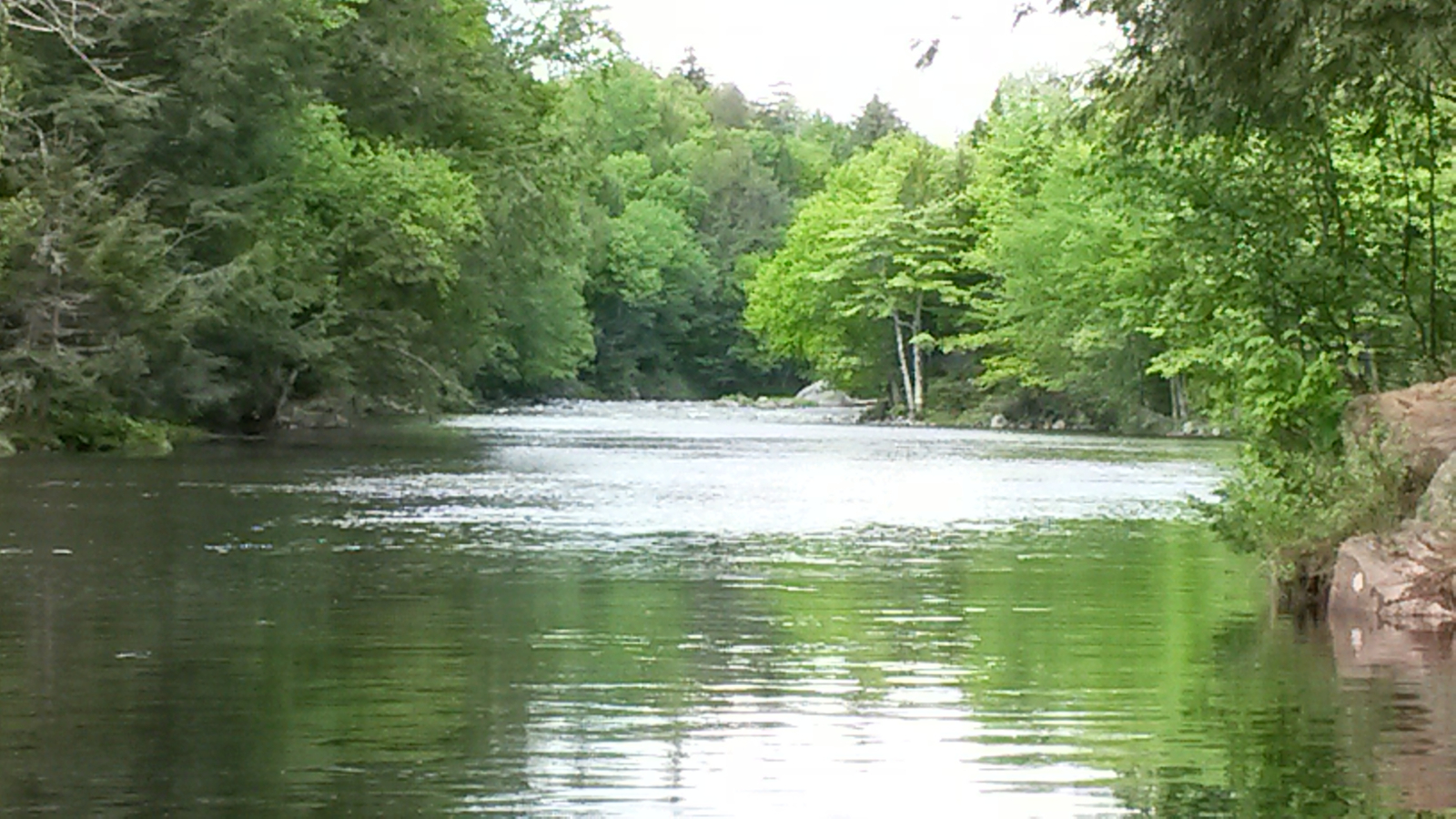
Permanent Rapids
|
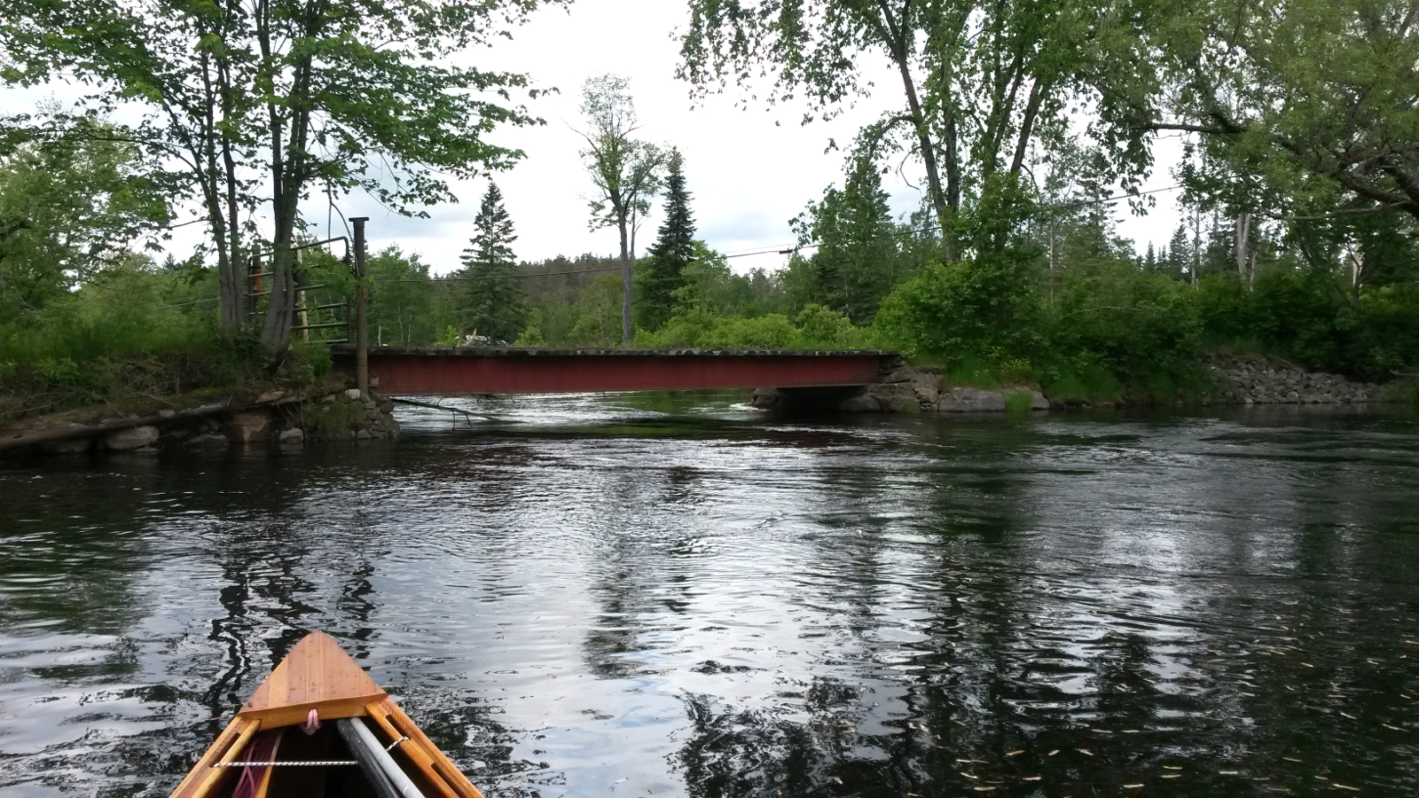
LaDuke Bridge
|
|
Approaching the urban area I encountered rapids under a bridge. Although I could have waded up them, it seemed easier to take out on to Route 3 and
carry the last few hundred yards into town. By dead-reckoning I found my way to Dorsey St to visit St Regis Outfitters. After a brief pause I
continued the carry to the kiosk on Lake Flower where lunch in the sun was a time to relax and stretch. That was followed by the short trip across
the lake to Mountain Mist Ice Cream for a revitalising milk-shake dessert.
|
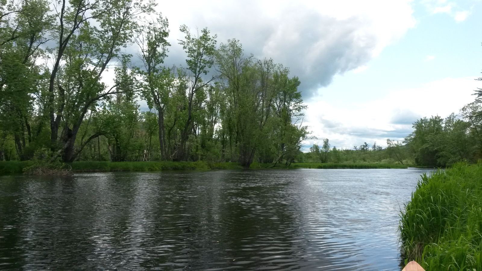
Saranac River
|
Oseetah Lake
|
|
Then it was onward, south on Lake Flower and out into Oseetah Lake. The number of islands is distinctly under-represented on the map, so I was for a
while confused about my location, but in due course everything began to look more familiar. I battled into the wind, now with no shelter, to reach
the Lower Lock, and was just wondering whether to carry through the premises when the keeper appeared and operated the lock for me. Then I continued
up the sinuous Saranac River, finally pulling up on a sandy beach that led to a lean-to on river left.
|
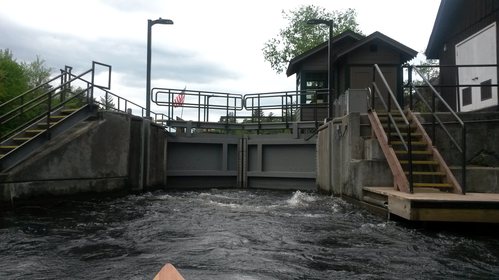
Lower Lock
|
Saranac River
|
|
It was early, a little after 5:00 pm, but there was no urgency to travel farther. I made myself at home in the lean-to, having the luxury of being
able to unpack and have access to everything without diving into the bottom of my pack. I cooked dinner, all the while listening to moronic jet-skis
racing around either First or Second Pond, or maybe even Lower Saranac Lake. These people have no concept of the peace of nature that others seek in
wild places. And yet, if I were to use a motor bike to pull doughnuts outside their homes all evening, they would probably complain bitterly. I find
it difficult to believe that this jewel of the Adirondacks is being permitted to turn into another motorised playground, like Fish Creek Pond.
Tomorrow was originally slated in my plans to be a 33 mile day, but I was now about 11 miles ahead of schedule. That eased the pressure, and would
maybe allow me to reach the northern end of Long Lake tomorrow … wind permitting.
|
|