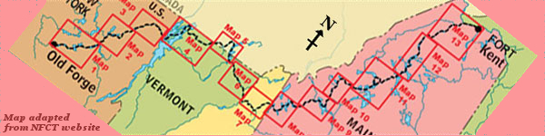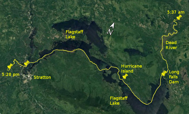
Day 10 route on Google Earth imagery
|
|
It rained intermittently through the night, but the morning was clear at 4:30 when I arose. I was up before the blackflies, but not for long. After
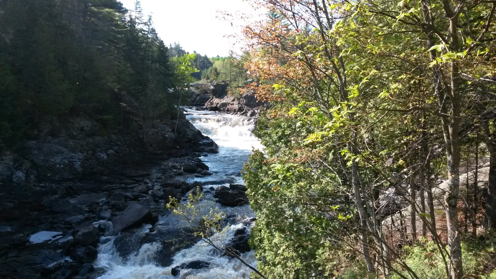
a quick breakfast and pack I started the day with a carry around Grand Falls. The new carry is a great improvement on the old, but more signage
would be helpful.
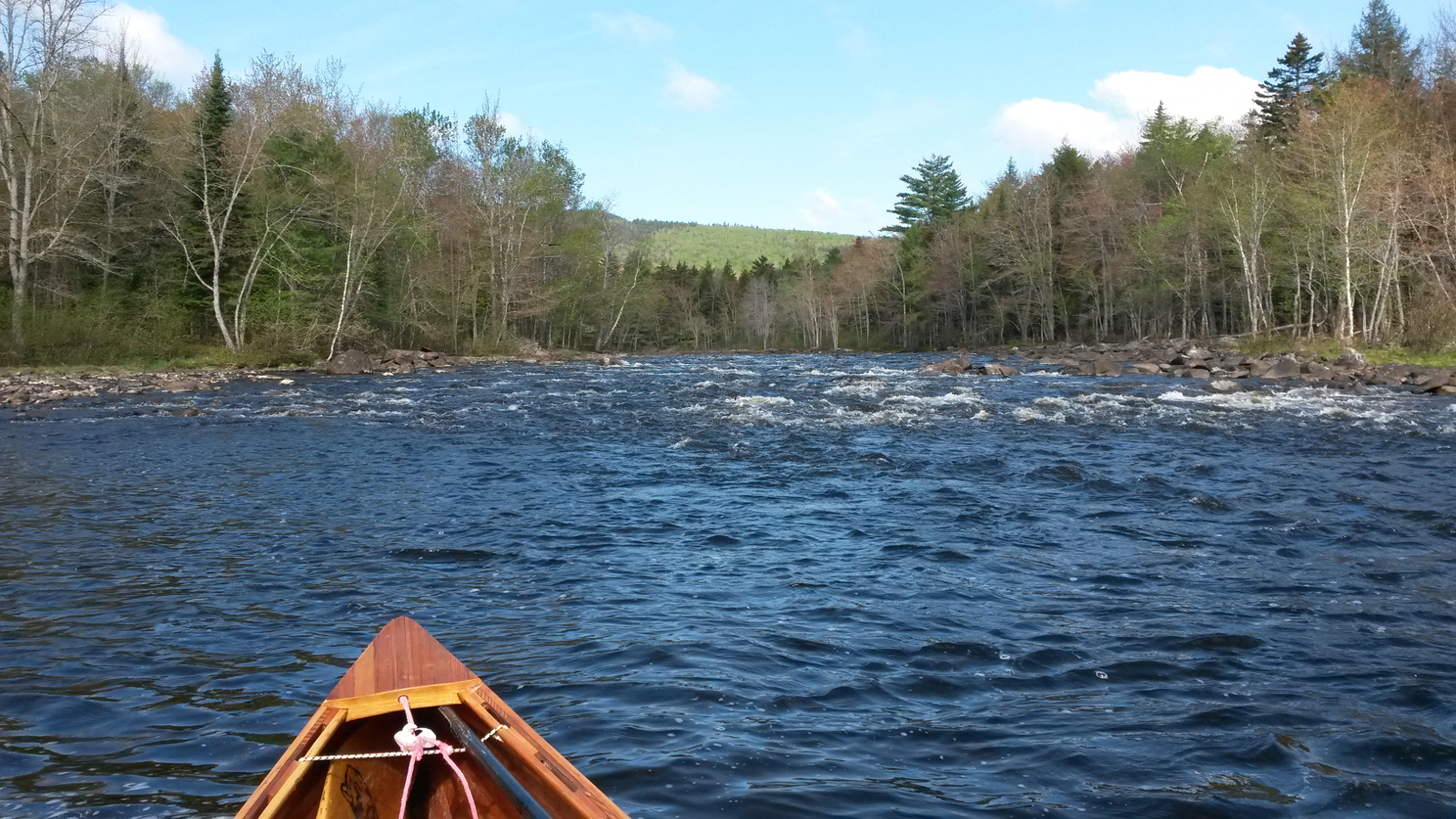
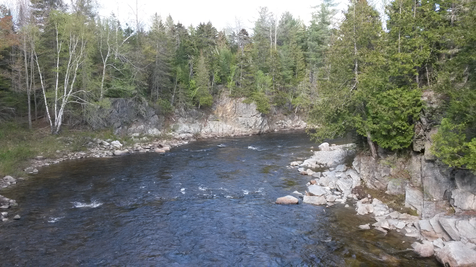
Above Grand Falls the Dead River is sluggish for a few miles, with muddy banks and many beaver. I made good headway, but progress slowed as, towards
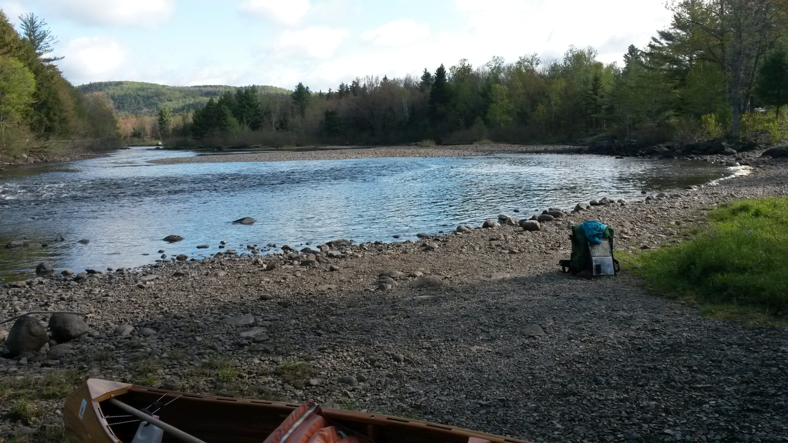
Big Eddy, the river became shallower with a stony bed. I eddy-hopped and waded up the final couple of rapids to Big Eddy, and was happy to take out
there for the carry around Long Falls Dam, the dam that created Flagstaff Lake. This carry was well signed and straightforward. I visited the
overlook to take a couple of pictures to compare the flow with 5 years ago, and then continued to Flagstaff Lake, putting in just above the dam.
|
Dead River – deep
|
Dead River – shallow
|
Big Eddy
|
Below Long Falls Dam
|
|
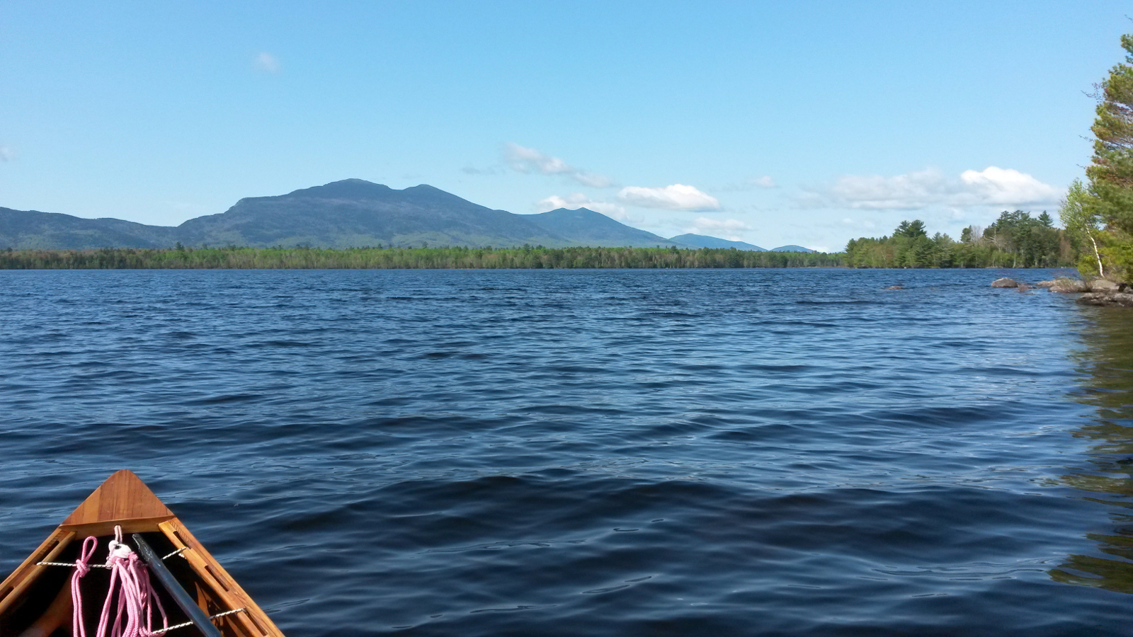
Flagstaff Lake was calm under a blue sky as I headed south, but the trees to my right (west) were stirring. Every so often a breeze would hit me,
sometimes from in front, sometimes from behind, as it swirled around heights of land. The farther south I went, the stronger the breeze became, and,
as I approached the point where I would turn right to the northwest, I could see substantial wave trains running to my left. There was clearly a
significant northwesterly blowing, probably the worst possible direction for my travel today.
|
Flagstaff Lake – benign
|
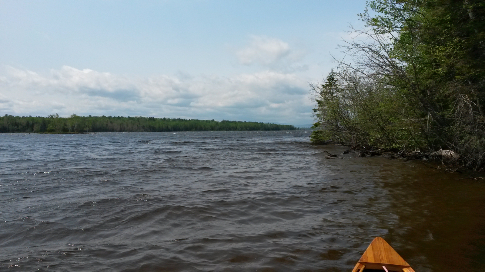
Flagstaff Lake – less benign
|
|
I rounded the headland into a fresh breeze, and getting ever fresher, so tucked into the northern shore to try to find a little shelter. That took
me as far as Hurricane Island where I had a rest and a snack. By now the wind was blowing maybe 20-25 mph. As I emerged from behind the island, the
magnitude of the task ahead became very evident indeed. Battling straight into the wind was a recipe for minimal progress and rapid fatigue, so I
ferry-glided to the south, gaining the northern shore of a large island there. This offered precious little protection, but I was able to make some
headway. I then decided to try the northern shore once more, so made a long open crossing through substantial chop, about 2 feet, reminiscent of
crossing Lake Champlain 5 years ago. Once more I was gratified at how secure I felt in my canoe as we rode over wave after wave.
The northern shore, when I arrived, offered no better shelter, and was due to bend away farther north, away from my intended route, so, a while
later, I made an even longer crossing back to the southern shore. Decisiveness has never been my strong point, and today maybe exemplified that.
But in these conditions there was no best route. There was no alternative but to go for the long grind into the wind, picking up little bits of
shelter by tucking close into the shore, but largely just toughing it out. As I made slow progress to the west, the waves reduced in size, in
accordance with the reduced fetch. Eventually I turned to the southwest and enjoyed a cross-wind for a change, until in the narrows I was afforded
some shelter.
All the way there I had been undecided whether to stay in Stratton, either at the motel or at the White Wolf Inn, or to continue up the Dead River for
a while. Despite the best efforts of the wind, I would be arriving in Stratton rather too early to stop, and when the Route 27 bridge came into view I
headed for it, by-passing Stratton, although still holding on to the possibility of carrying from the bridge into town, only about a mile or so. At
the bridge I had another snack and sat in the sun for a while, behind a rock and so out of the wind. Then, back in the saddle once more, I headed
west into the wind, continuing up the Dead River, gaining some miles on my schedule, therefore potentially making tomorrow an easier day.
The first part was quite easy paddling, other than the wind, but as soon as the river valley turned south the shallow rapids began. Soon I was
wading more than paddling, and found that shifting my pack to where I usually sit gave a better trim with more control. It was fine if I had no
intention of getting in to paddle. This was giving me a taste of what the next 20 miles or so would be like. It seems that, no matter which river,
all rocks are covered with algae, and my loathing of mucilage returned with a vengeance as my feet skittered hither and thither. My one ski pole
served as a walking stick and saved me from many a ducking, but it's true to say that I was not looking forward to a whole day of this.
|
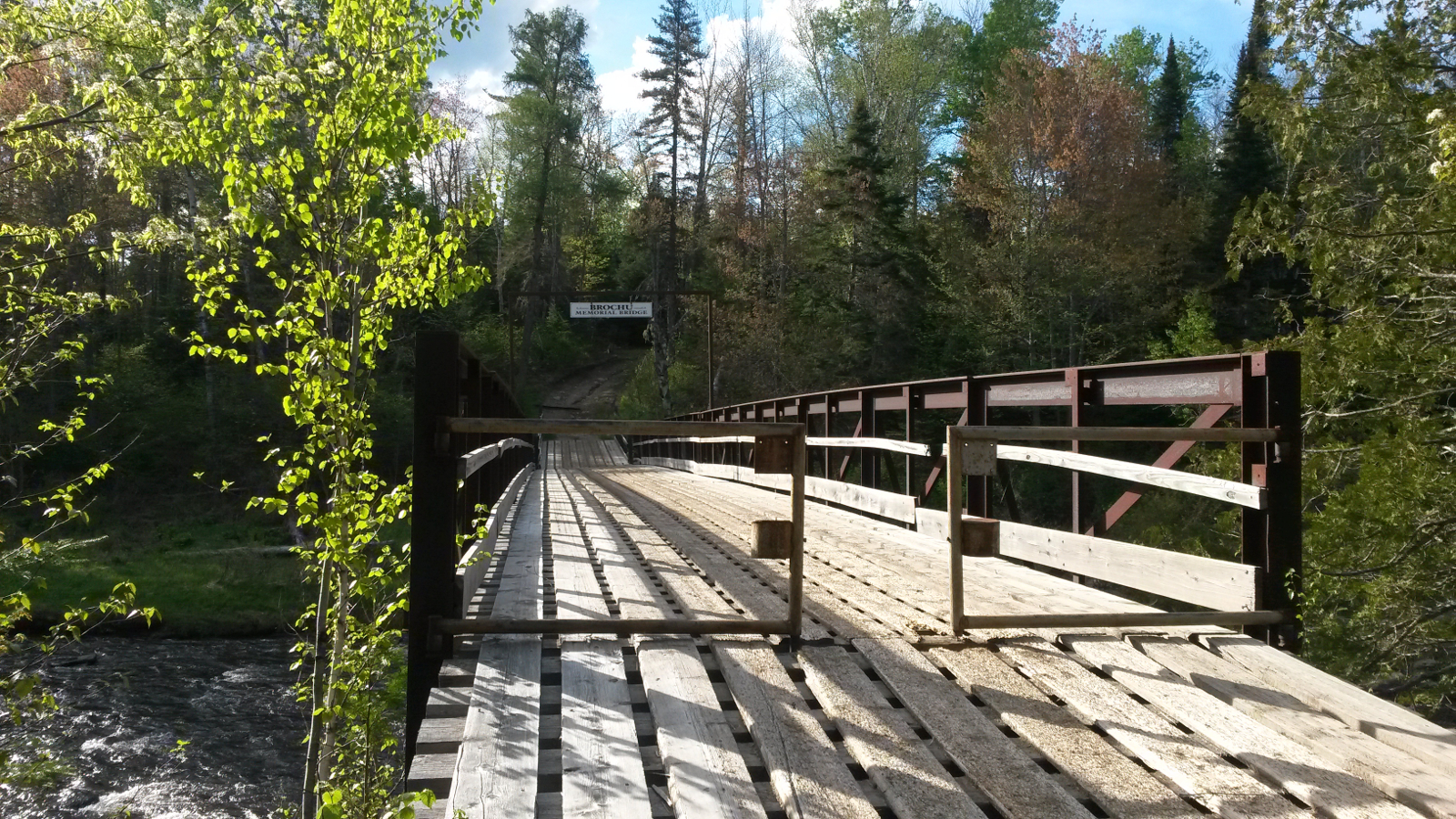
Brochu Memorial bridge
|
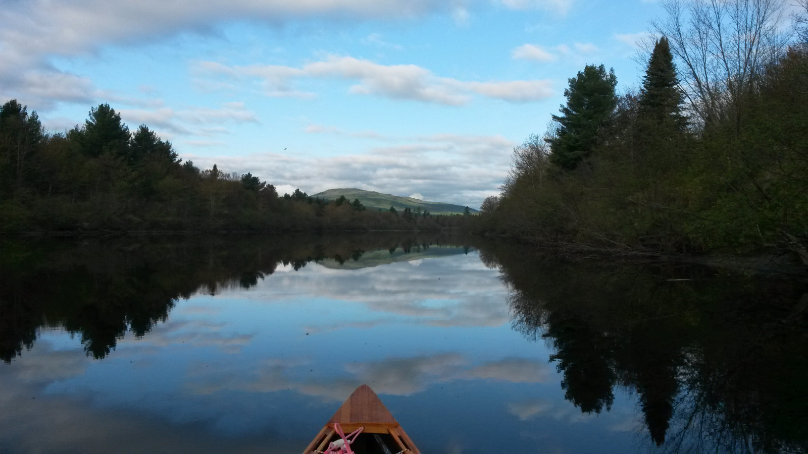
The last part of today's travel
|
|
My goal, the first bridge, finally came into view. I initially took out on river left, but found better hammocking on river right, so waded across
to camp; it was easier than gaining access to the bridge: the Brochu Memorial Bridge. There being plenty of small wood, I cooked curry on the
wood-stove, and then spent time with the map. My estimate was that there would be about six more miles of similar wading to reach the Kennebago Road
bridge, the next possible point of escape from the river to Route 16. I was already thinking that the better option might be to carry out along the
road that led from this bridge. The decision to choose this as a camping spot deliberately allowed that option. Of course, that would make for an
insane number of miles of carrying tomorrow, but at least I wouldn't have to wear dry-pants. The pros and cons of either carrying out or staying in
the river bed were still duelling in my brain as I drifted off to sleep under a clear sky.
|
|