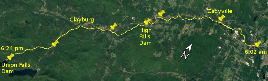
Day 24 route on Google Earth imagery
|
|
Today began and ended with significant carries, but in between was considerable progress in the river, both satisfying and frustrating. It had
rained intermittently last night, so none of my wet clothing had dried. I was awake early, but put off getting up until first light. I made
breakfast and packed the sleep system, but eventually could no longer put off the fact that I had to put on wet paddling clothes. At least a dry
T-shirt under a wet thermal shirt made the process less objectionable. Wet underwear, though, was a rude awakening.
A little before 6:15 am I set off, carrying as planned, back up LaPierre Lane, left on Route 22B, over the bridge and then right on Kent Falls Rd.
This would lead to the usual carry around Kent Falls and Cadyville Dam. It brought me to the closed bridge, where the accepted path is to put into
the river to cross and continue carrying on the other side. This time I deemed the bridge to be safe for a lightweight pedestrian with minimal load,
and rebelliously crossed it. In Cadyville I once more suffered from a lack of signage for those travelling in the unconventional direction, and did
not find the put-in above the dam, continuing rather to the beach and boat launch, adding about 0.4 mile to make a total of a 5.0-mile carry to
start the day.
|
Deadwater above Cadyville
|
The current resumes
|
|
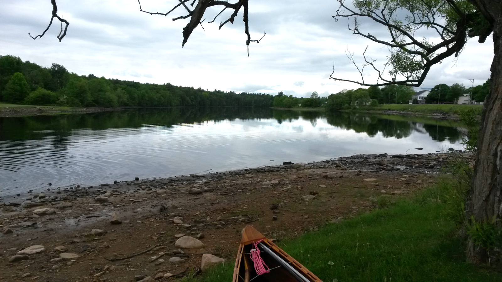
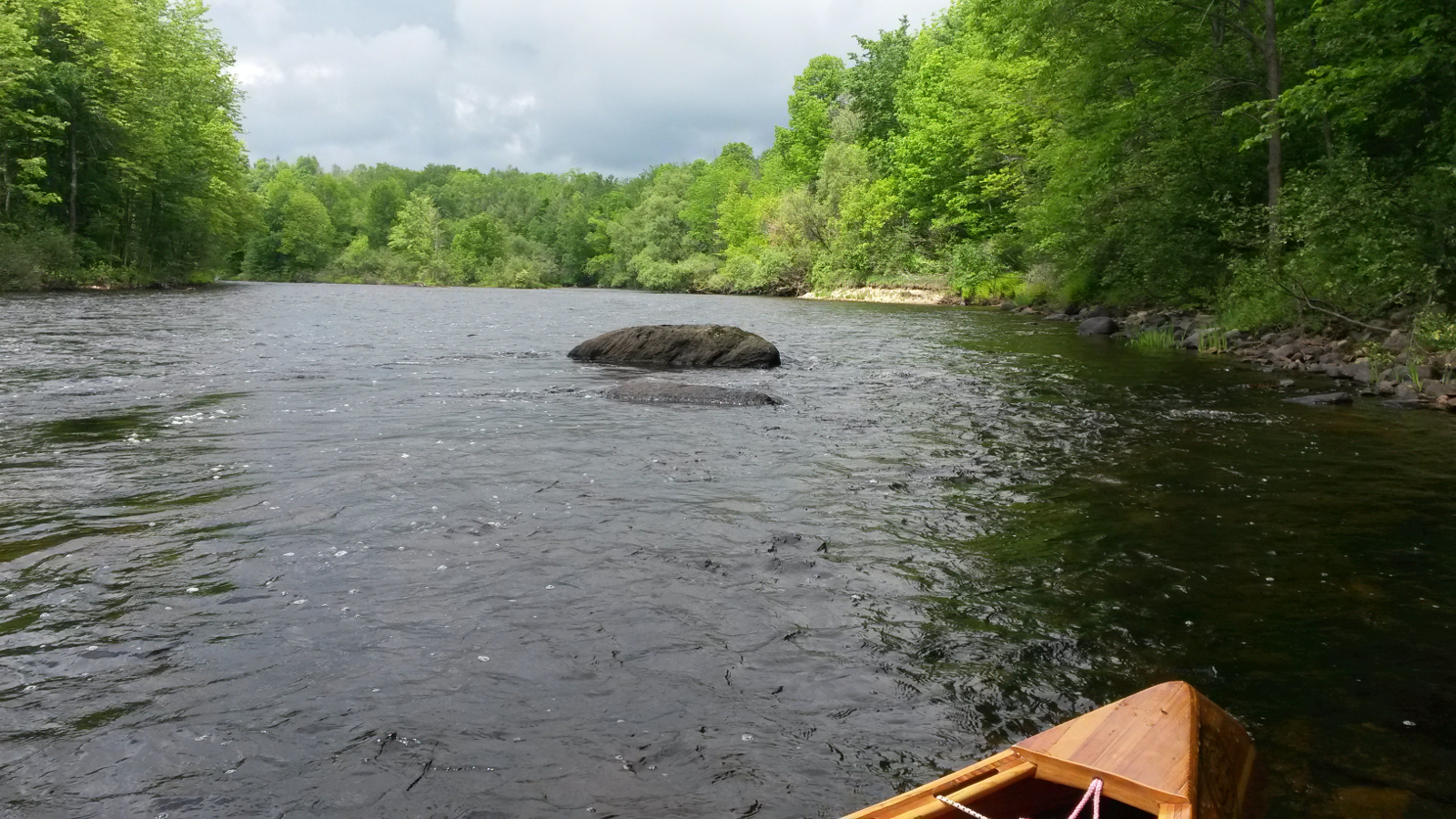
The deadwater above Cadyville Dam was lower than usual – it had been drawn down to allow some work on the dam – but was sufficiently
deep to allow some good progress for a while. Gradually the current resumed. I had researched a couple of escape routes to Route 3 for the
eventuality of not making progress in the river, but now chose to adhere to my stated plan to remain in the river bed where feasible. Paddling,
poling and wading took me ever farther upstream, passing Baker's Acres camp-ground, and then reaching the Bowen Road bridge. Here I had planned to
take out to carry, but once more decided to stay in the river, double-poling most of the way to the High Falls dam take-out.
|
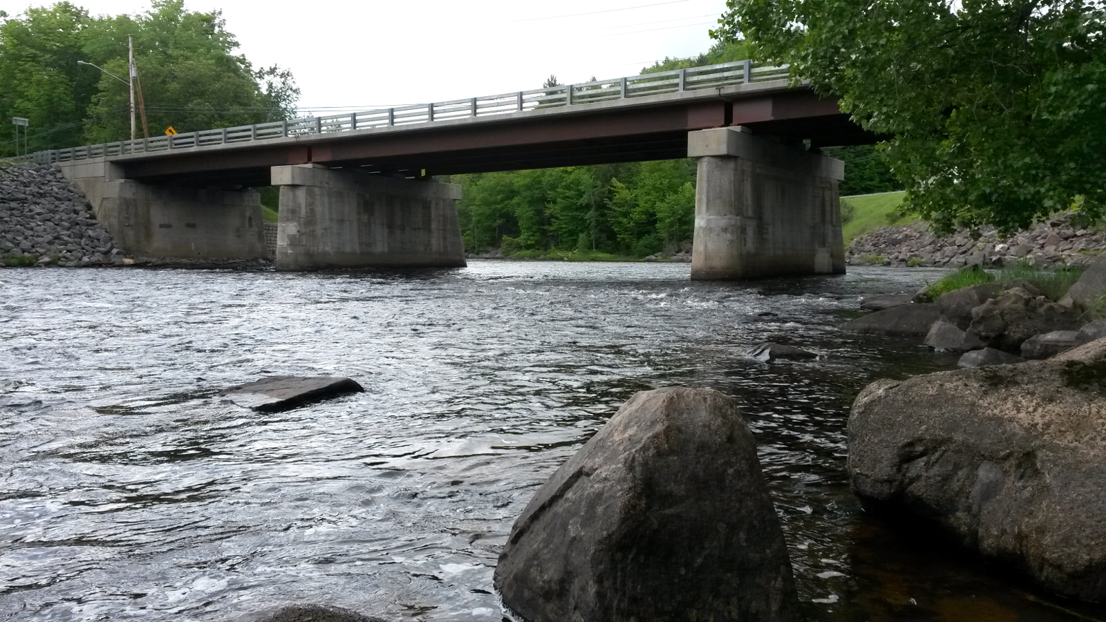
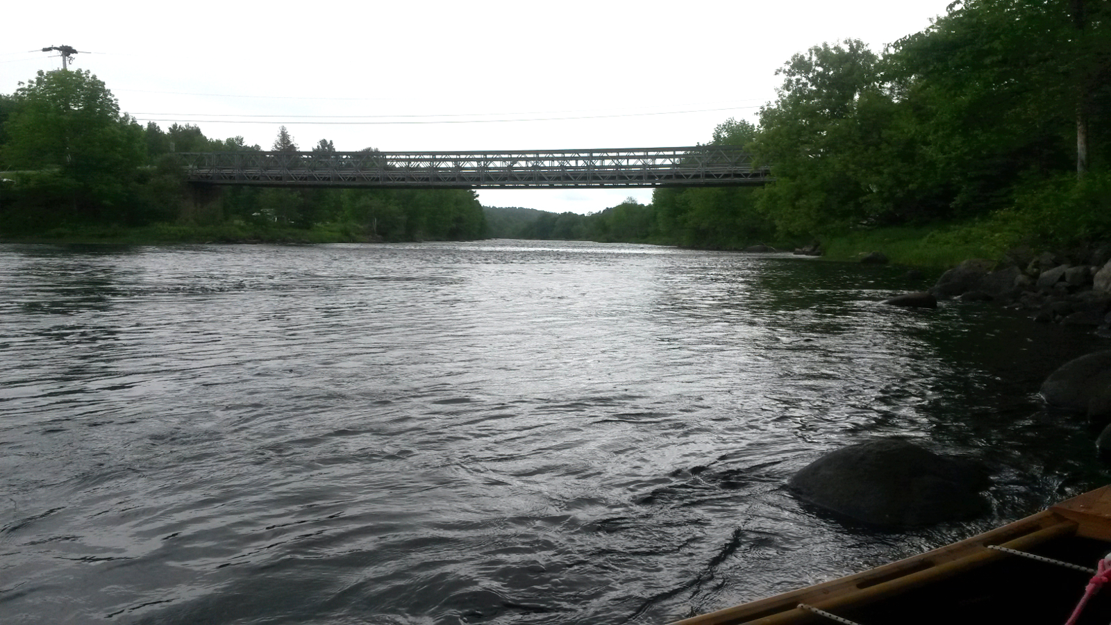
Bowen Road bridge
|
Approaching High Falls Dam
|
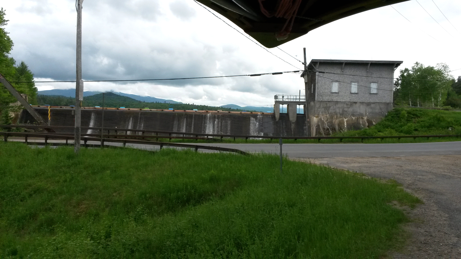
Above Hgh Falls Dam
|
Pup Hill Road bridge
|
|
The carry, which added another 1.3 miles to the daily total, involved a large climb (as suggested by the name of the dam), and my legs complained.
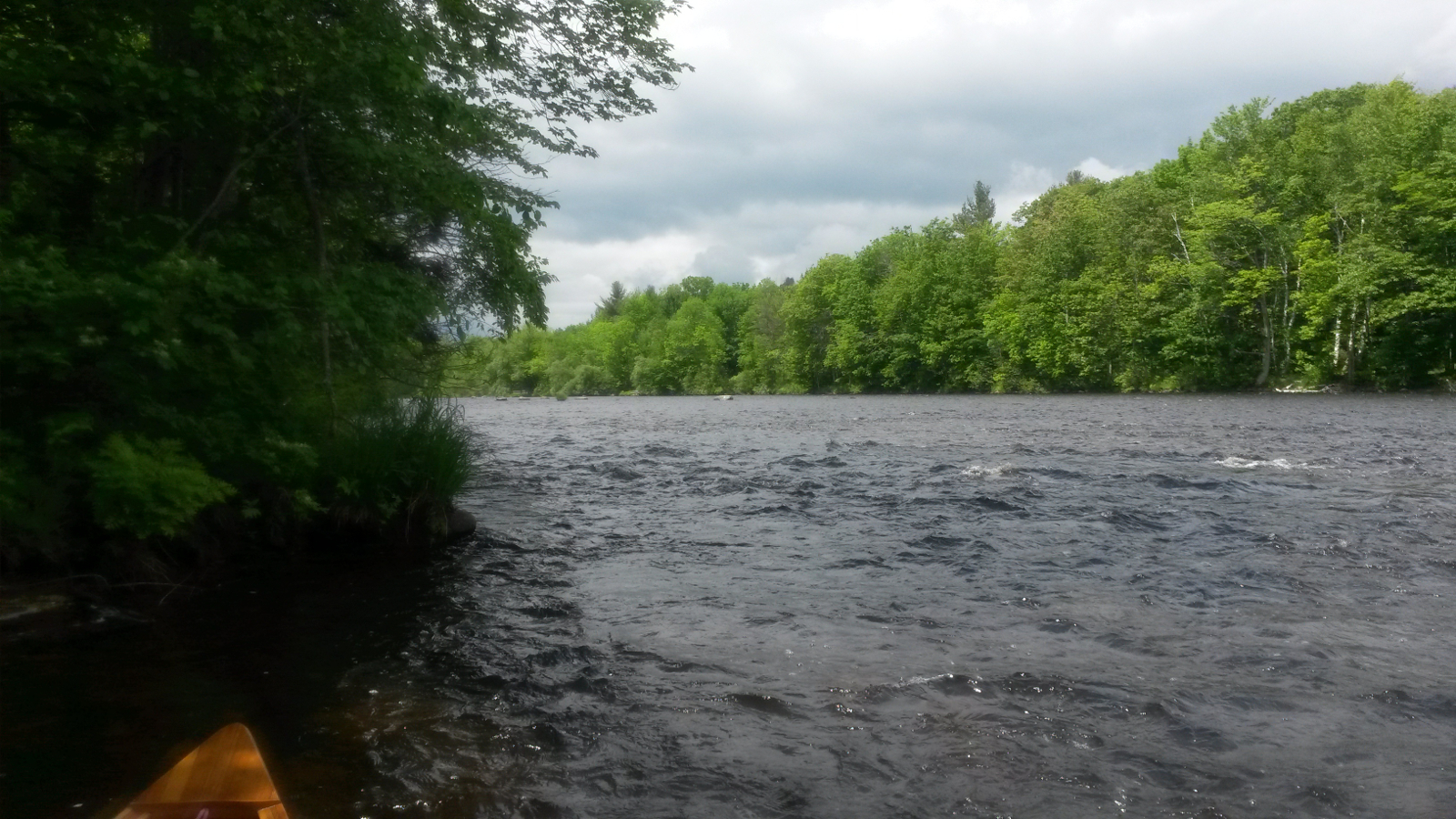
Above High Falls Dam the going was good, with deep water and slack current. I began to think about pushing on to reach Union Falls Dam, but the
slack water didn't last. I soon resorted to wading on slippery cobbles, cobbles which were the perfect shape and size to pinch ski poles, so making
double-poling an exercise in frustration and futility. Eventually at the Pup Hill Road bridge I decided that I had done full justice to my intent to
remain in the river when possible, and gracefully retired to Route 3. I could have continued a short distance farther to the Separator Falls carry,
and my original plan had been to camp just above this carry, but it was too early to stop, so I decided to by-pass the Separator Falls carry
completely by carrying to Clayburg and beyond.
My next possibility for the night would be to camp at the Casey Rd access near the bottom of the Trail Rapids, allowing me to tackle these, as
intended, the following morning. Another 2.5 miles of carrying brought me to Clayburg, where I turned left on Silver Lake Rd. This next section is
usually walked by most through-paddlers to avoid the largest of the rapids and the Tefft Falls region, so I felt no guilt about not being in the
river here. After another 3.4 miles I reached the fork with Casey Rd, took a break as this more or less coincided with my routine of walking in
1-mile increments, and then resumed. I was now being plagued by mosquitoes. Whether these distracted me, or whatever, I never saw the end of the
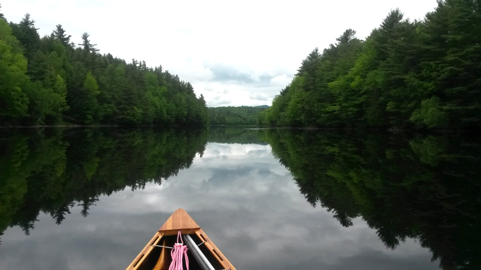
path which led to the river, and so missed that opportunity to camp. Not wishing to back-track, I continued, ultimately reaching Union Falls Dam and
the camp-site there after a carry from Pup Hill Road bridge of 10.7 miles (measured later). It's fair to say that my body hurt a little, the total
carrying for the day having reached 17.0 miles.
|
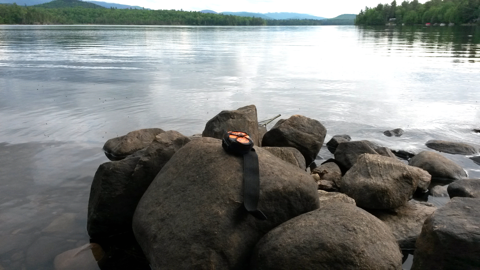
Union Falls Dam
|
Union Falls Pond
|
|
It was a relief to be able to put down my load and have two hands free to swat mosquitoes, also to be able to wash off some of the sweat and road
grime from the carry. I had missed the chance to tackle the Trail Rapids upstream, which was a little disappointing, but still felt that my approach
to the Saranac River had not been a complete cop-out. I had stayed in the river for large stretches at a time, and not just the easier sections. The
distance I had gained would ease the pressure on the remaining days, especially on the upstream Raquette River. The run-in to Old Forge was looking
ever more comfortable, but I knew better than to be complacent.
|
|