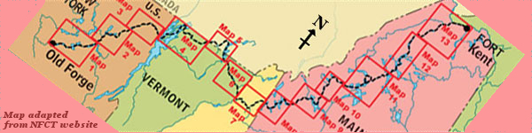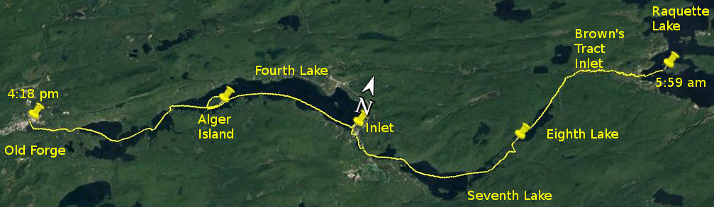
Day 28 route on Google Earth imagery
|
|
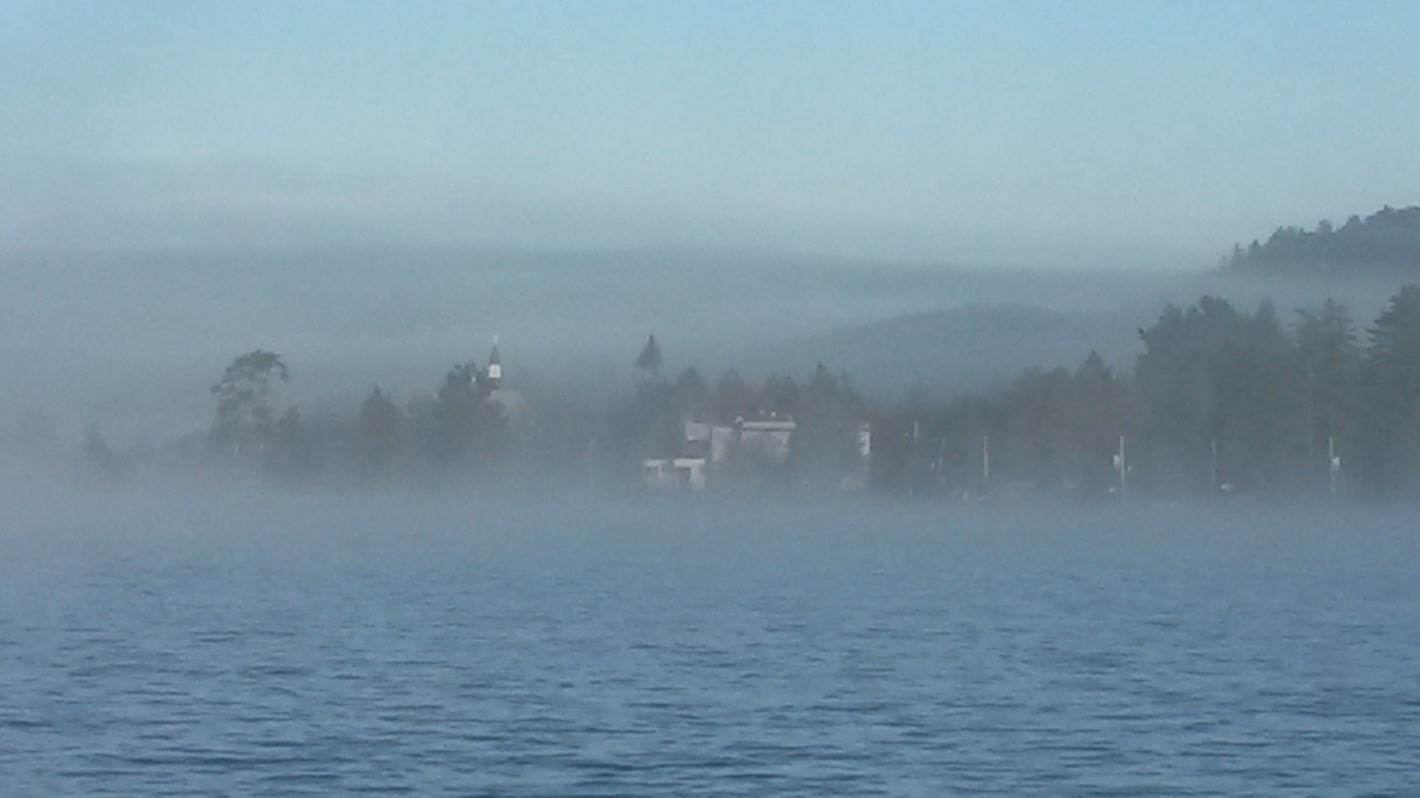
The loud party on the shore took a long time to die down last night, and the last boat sped past at about 2:30 am. It was another cold night, and
when I emerged around 4:45 am into a crisp morning, everything was blanketed with a thick mist, reducing visibility to about 30 yards. I made
breakfast and packed faster than was necessary, and pulled away from Big Island into the mist in very chilly conditions as the sun rose behind me.
|
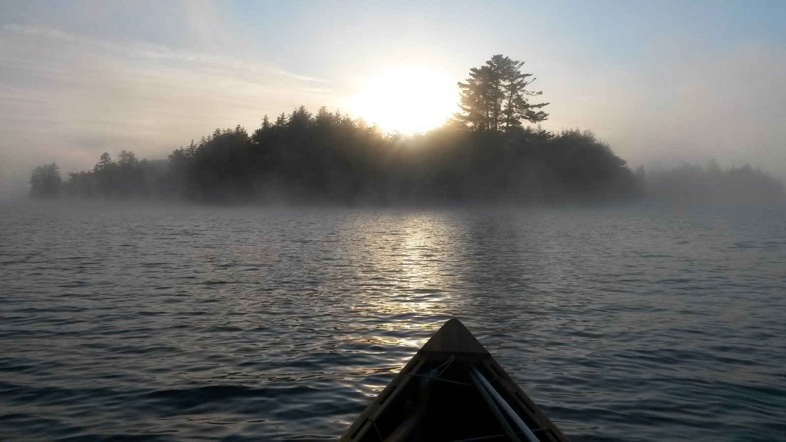
Looking back at Big Island
|
Raquette Lake Village
|
|
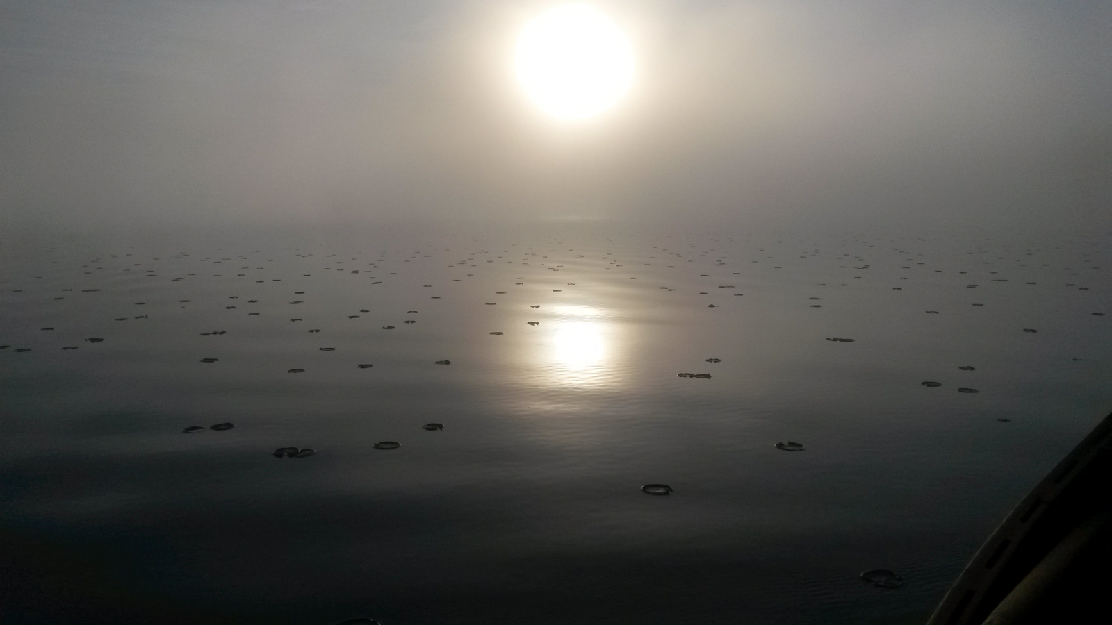
Having checked the direction last night when all was visible, I knew the direction to head, even though Raquette Lake Village and the road bridge
that I would pass under were initially totally hidden from view. The mist lifted a little as I crossed the southwest of Raquette Lake, and I homed
in on the bridge. Even before reaching the bridge I encountered the first of four beaver dams, only one of which was sufficiently breached to allow
passage without exiting the canoe. It was surreal to meander into the mist, the dark water looking milky, maybe due to reflection of the mist above.
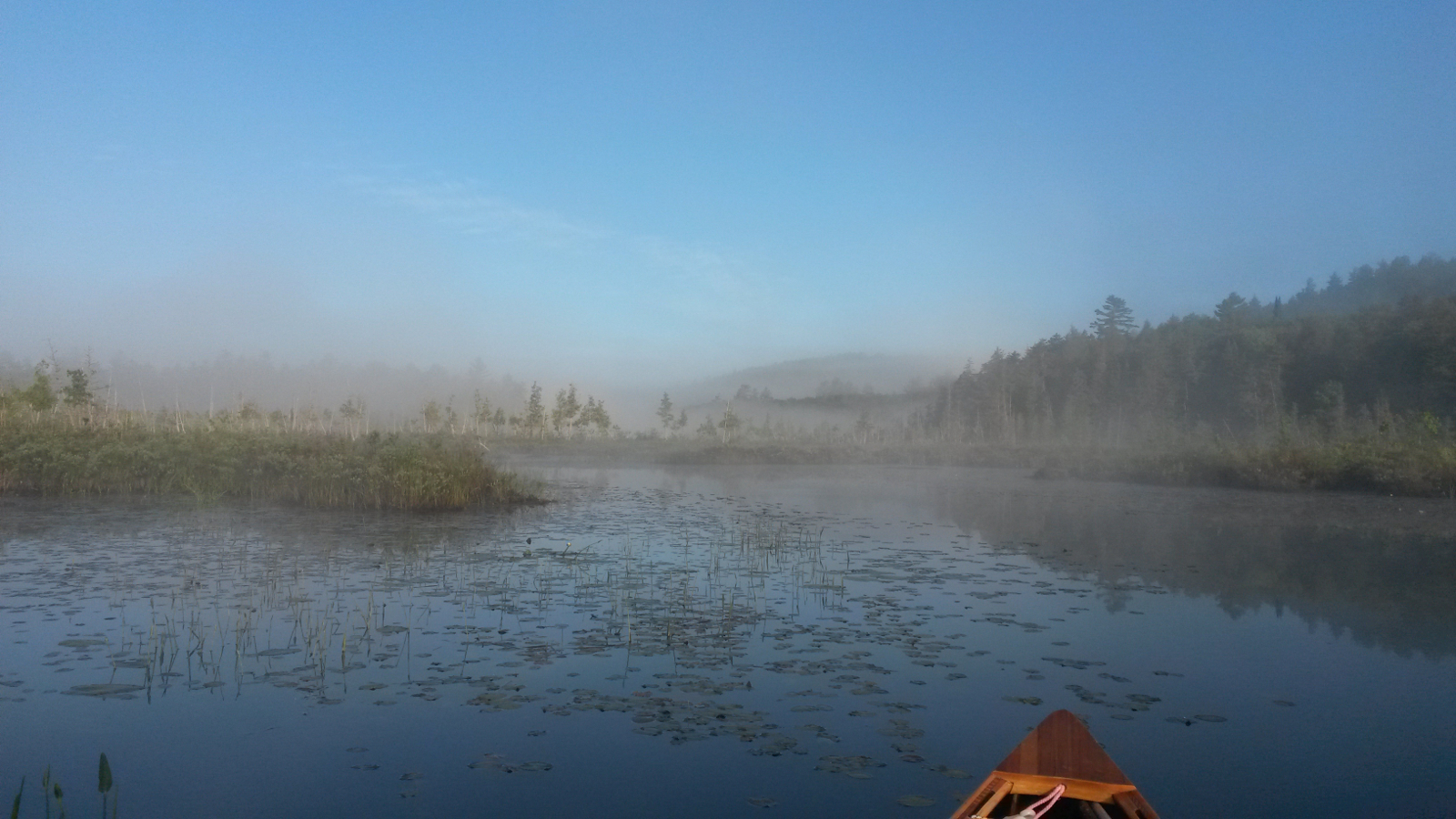
For a meandering upstream, navigation was easy: at no point was I unsure about the route, the channel always being well defined, even though the
downstream flow was minimal.
|
Water lilies in misty sunrise
|
Brown's Tract Inlet
|
|
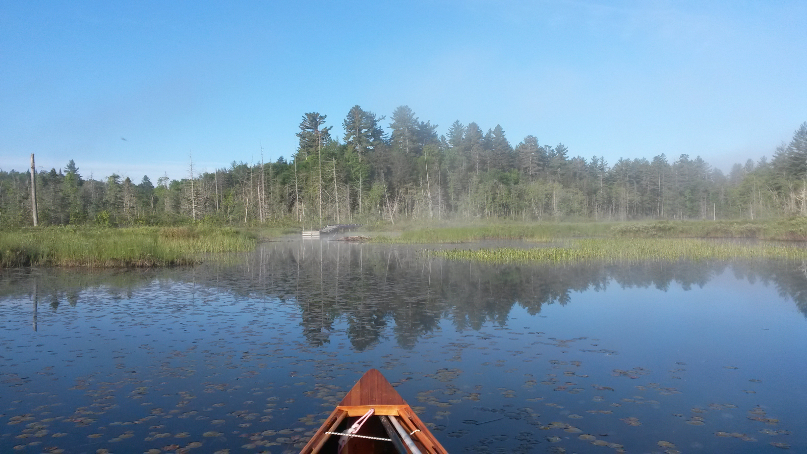
At the boardwalk which marks the carry to Eighth Lake, I took a moment to savour the completion of my upstream travels. The list was a long one,
starting back on 14th May, 27 days ago, on the St John in northern Maine. Then came 3 days on the Allagash, another day on the West Branch of the
Penobscot, maybe a day and a half on the Moose River, about the same on the Dead River, a day on the Connecticut, another on the Nulhegan, over two
days on the Saranac and about a day on the Raquette. Here I was near the highest point on the Trail, having been just five days ago at the lowest
altitude on Lake Champlain.
|
Brown's Tract Inlet
|
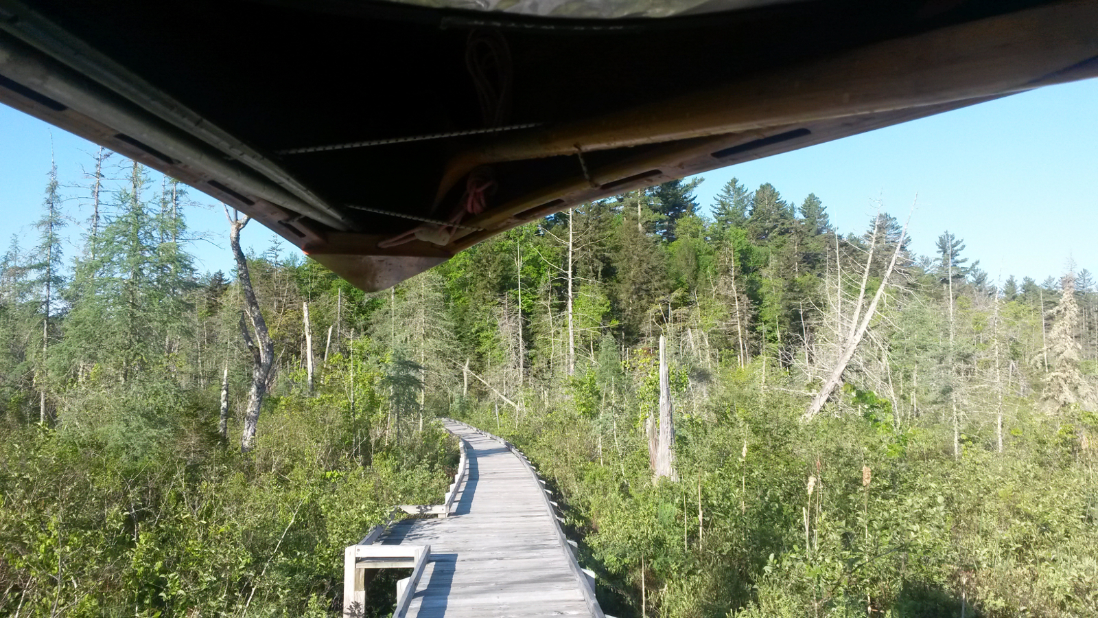
Carry to Eighth Lake
|
|
It was an easy carry to Eighth Lake, interrupted only to offload the morning pot of tea at the highest point on the Trail. The act seemed perversely
ceremonial – which way would it drain? On Eighth Lake a gentle breeze sprang up from the northeast, amazingly pushing on my back. It allowed
a cadre of blackflies (OK, it was a swarm, but the tailwind made me feel benevolent) to keep pace with me all the way to the camp-ground at the
southern end of the lake. The carry through the camp-ground to Seventh Lake took longer than was necessary: either it was not well signed or I just
missed the crucial marker.
At Seventh Lake an agent of the Adirondack Watershed Council stopped me for a check regarding invasive species. I had to admit to not knowing the
State law concerning this, but hoped that it was rooted in common sense. In trying to fill in her form, I suspect she was not expecting my answer to
her question, “Where have you just come from?” “Northern Maine” didn't seem to be something that she had had to fill in before. Finally I took pity
and told her that I had just come over from Eighth Lake, something that made much more sense. She gave my boat a clean bill of health after a
cursory inspection, but didn't even consider my boots. These had given me greatest cause for concern as possible vectors of invasive species, and I
had taken measures to clean them as well as possible between watersheds.
|
Eighth Lake
|
Seventh Lake
|
|
I set off across Seventh Lake, under the bridge leading to the channel to Sixth Lake, across Sixth Lake to the short carry to Fifth Lake. The
countdown to the end was in full swing. After passing through a winding channel with very many “Private” notices, such a contrast to the
wild lands which had typified the early part of the journey, I emerged into the relative vastness of Fourth Lake.
Here I took a break in the sun at the town beach as I was ahead of schedule for our rendezvous, had a snack and did some more thinking Surely
nothing, other than maybe an errant motor boat or jet-ski, would prevent me from bringing this trip to a successful conclusion. It would be a first;
at least, as far as anyone at the NFCT knows, it would be a first. No-one had previously offered any communication about having through-paddled the
Trail from east to west. Of course, there may be someone out there who has done it and kept quiet about it. But I have to wonder why anyone would do
that and not even bother to make some sort of attempt to communicate with those who are the drivers and organisers, the movers and shakers of the
Trail and all that it has become, a community of like-minded people dedicated to enjoying and facilitating paddle-driven travel, whether challenging
or easy-going, along historic waterways and through communities, both thriving and impoverished, of the northeastern USA.
Had my trip been worthwhile? In a sense, yes: it had proved that such a through-paddle is indeed possible; it had tested me, my resolve and my
abilities, to the limit, such that I now have a much clearer idea of where those limits lie, and am reluctant to stretch them quite so far in future.
Was it enjoyable? Certainly there were sublime moments: the perfection in paddling achieved recently on Lower Saranac Lake, the easy cruising down
the mighty Androscoggin, even in the rain, and much more. But there were also many times when I cannot claim to have been truly happy on this trip.
The headwinds, vicious as they often were, can account for much of the misery, but that is not the whole story. I spent far too long focussed on
hugging banks, searching for the next eddy, creeping, skulking along the edges of gorgeous rivers and appreciating only a small part of their
beauty; that is not the best way to see these rivers. To anyone reading this and thinking about a through-paddle, I recommend a conventional trip
from west to east as your first experience of a through-paddle. If you then wish to raise the bar for a personal challenge and to have a different
perspective, by all means go the other way, but, as a first experience of the Trail, I think this would be less rewarding and possibly even
off-putting.
My thoughts were brought up short as I realised that time had slipped by, and I would have to hustle a little to reach Alger island, so I launched
once more and headed west around the curve of the southern shore of Fourth Lake, going headland to headland. Alger Island came into view, and I
paddled along its southern shore to the southwest corner, the predetermined meeting point with Viveka, Ray & Hildy, my faithful support crew.
I had arrived first, so lazed around for a while. Our meeting time came and went, and no canoe was in sight, so I decided to circumnavigate the
island, just in case something had got lost in translation and they were waiting elsewhere. Of course, we might have been chasing each other round
the island, but that was a risk to take. As I returned to the southwest corner, the canoe was in view, closing rapidly, Ray in the bow, Viveka in
the stern, and Hildy in resplendent comfort amidships, wielding the camera. They were paddling our Lutra, my other design of canoe, so it would be
two of my canoes that would ceremonially paddle to Old Forge.
|
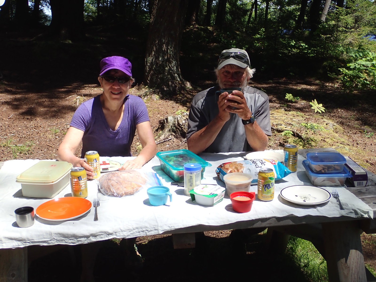
Lunch on Alger Island
Photo: R&H Danforth
|
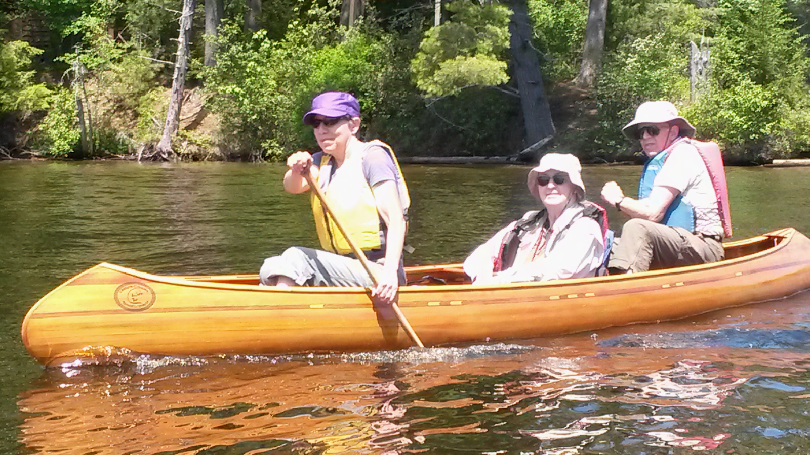
Support Crew Escort
|
|
In my travels around the island I had spotted a beautiful vacant site, ideal for lunch, so we headed east and disembarked for a truly sumptuous
lunch that they had brought, oh so different from trail-mix! We feasted for an hour or so, catching up with stories and reflections, and then headed
gently west to put this adventure to bed. Pontoon and other motor boats abounded, so different from finishing on the remote St John River in sleepy
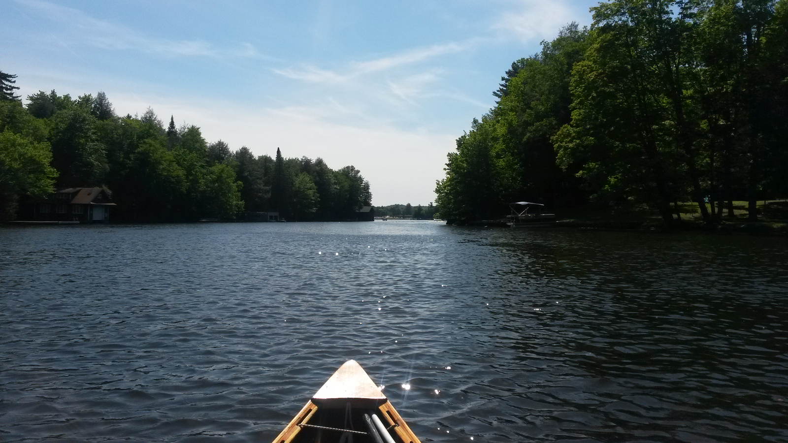
Fort Kent five years ago. Third, Second and First Lakes passed in turn, until, in the final channel to Old Forge, I hung back in a little backwater.
Not only did I want the others to be ready for the finishing photos, but also I wanted some time alone with my reflections. Tears flowed easily.
Never had I worked so hard for so long to achieve something. The work rate had eclipsed that of my previous through-paddle, when I had had similar
sentiments. Now, just a few minutes of easy paddling away, lay the culmination of all of that effort, discipline, fortitude, application and
determination.
|
Home is where the bow points …
Photo: R&H Danforth
|
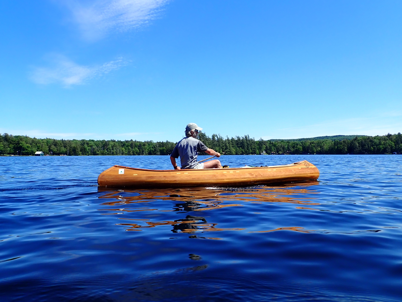
… and the eyes are focussed
Photo: R&H Danforth
|
The home straight
|
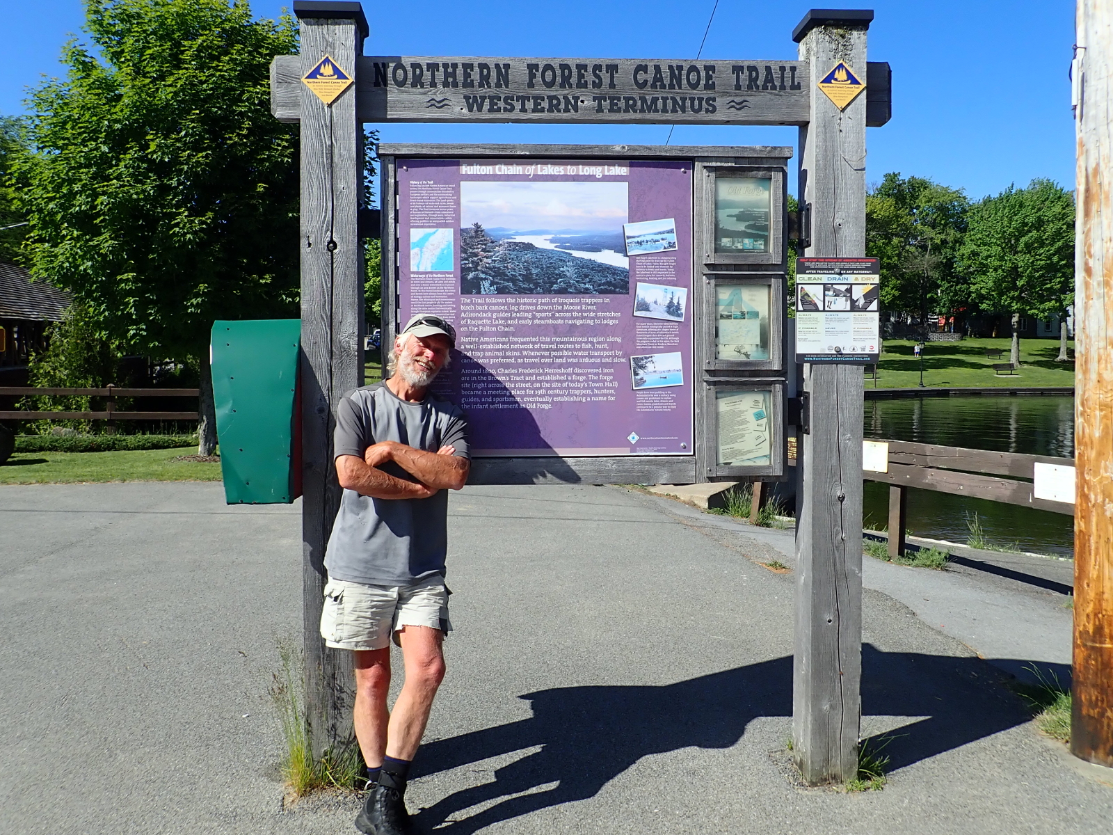
Tired but happy
Photo: R&H Danforth
|
|
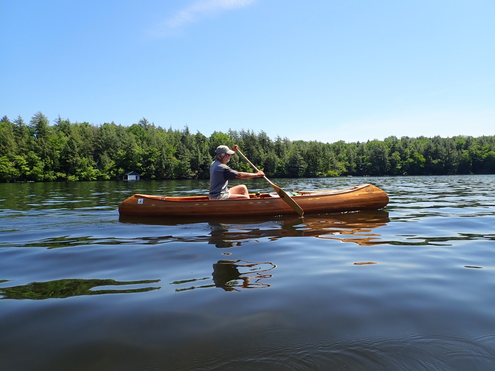
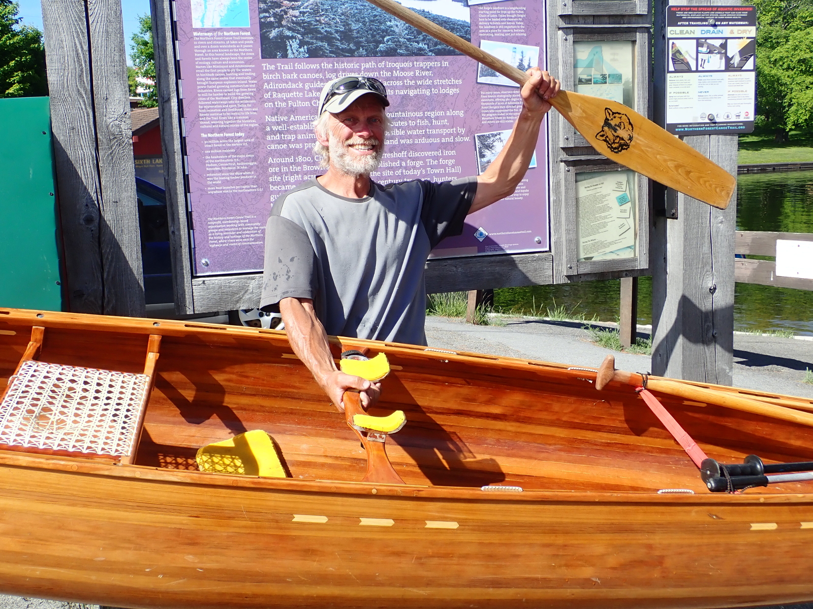
After a sufficient pause I set out once more, paddling purposefully, achieving one more time the rhythmic swing of efficient paddling. A little
after 4:00 pm, although time was irrelevant, I coasted into the dock with paddle raised high, and then once more had a moment of internal
reflection. Then it was hugs all round, sending the final SPOT waypoint, signing the register (in response to the column headed “Destination
and Estimated Date of Arrival” I wrote “Here and now!”), being interviewed by folks from the visitor centre, chatting to other
interested people, taking final photos, posed of course, and much more. Somewhere in all of this I waded into the water, fell face down and just
floated for a while.
|
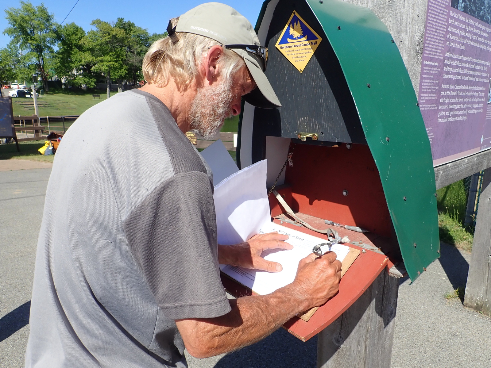
Signing in
Photo: R&H Danforth
|
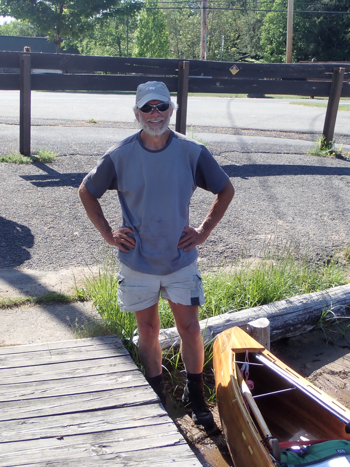
OK, but where's the canoe?
Photo: R&H Danforth
|
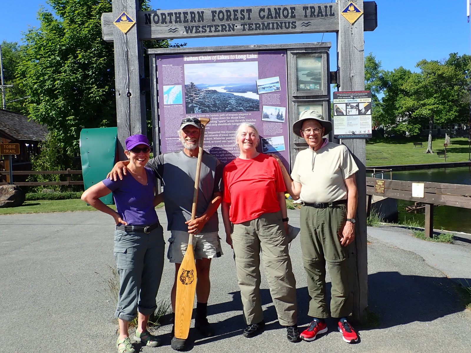
The Team
Photo: R&H Danforth
|
The little canoe that could … did it again.
Photo: R&H Danforth
|
|