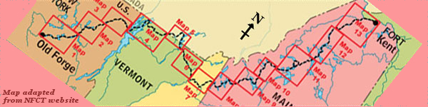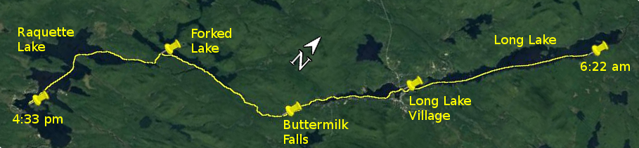
Day 27 route on Google Earth imagery
|
|
Today was another day that could have been so relaxed but for the wind. It started calm enough after a very cold night. My bladder eventually
insisted that I leave the comfort of the sleeping bag (in the hammock strung once more in the lean-to) at about 5:00 am. I had been listening to a
bird, or maybe having a very vivid dream about one, whose song was a very distinctive, “Bernie – Internet, Internet,
Internet”.
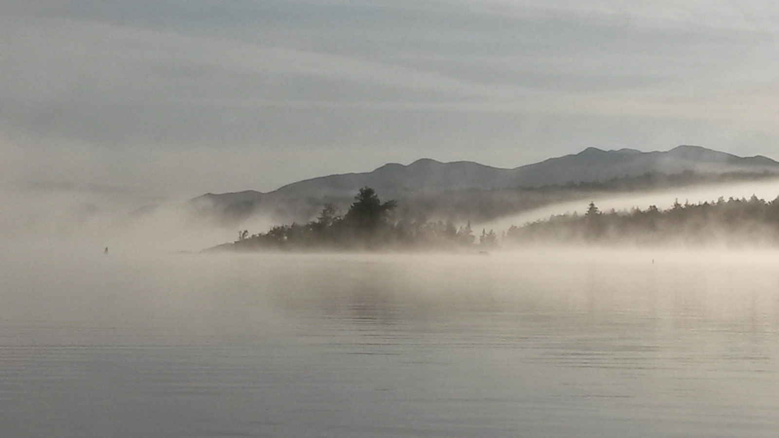
I pulled away from Plumley's Landing at about 6:30 am on a calm Long Lake with morning mist rising, and, after warming up, was experiencing some of
yesterday's swing, the effortless rhythm and motions of paddling and the smooth glide of the canoe, all in a surreal, misty surrounding. Within half
an hour I was doing battle with a headwind, 10 mph and strengthening all the time. Other than one brief lull, it interrupted my morning paddle to
Long Lake Village, where I pulled up on the beach, used the bathroom, and went in search of a snack, which I ate sheltered from the wind. Exposure
to a headwind roaring around the ears for hours at a time, or even days, becomes debilitating, and the importance of every opportunity to enjoy a
little calm and quiet becomes magnified.
|
Morning mist on Long Lake
|
Looking back on Long Lake
|
|
Pushing on, still to the southwest, I tried each shore in turn to try to find shelter, but none was forthcoming. At last the lake narrowed to become
the Raquette River once more, and the wind's effect was diminished. The Deerland rapids appeared, with no obvious sign of a take-out, but I soon
found a place that would work well enough, and discovered a track that led to the road. I was hoping to put back in to the river between the
Deerland carry and Buttermilk Falls, but saw no trace of any kind of path or sign that would help me locate where to do this, so continued the carry
to the top of Buttermilk Falls.
|
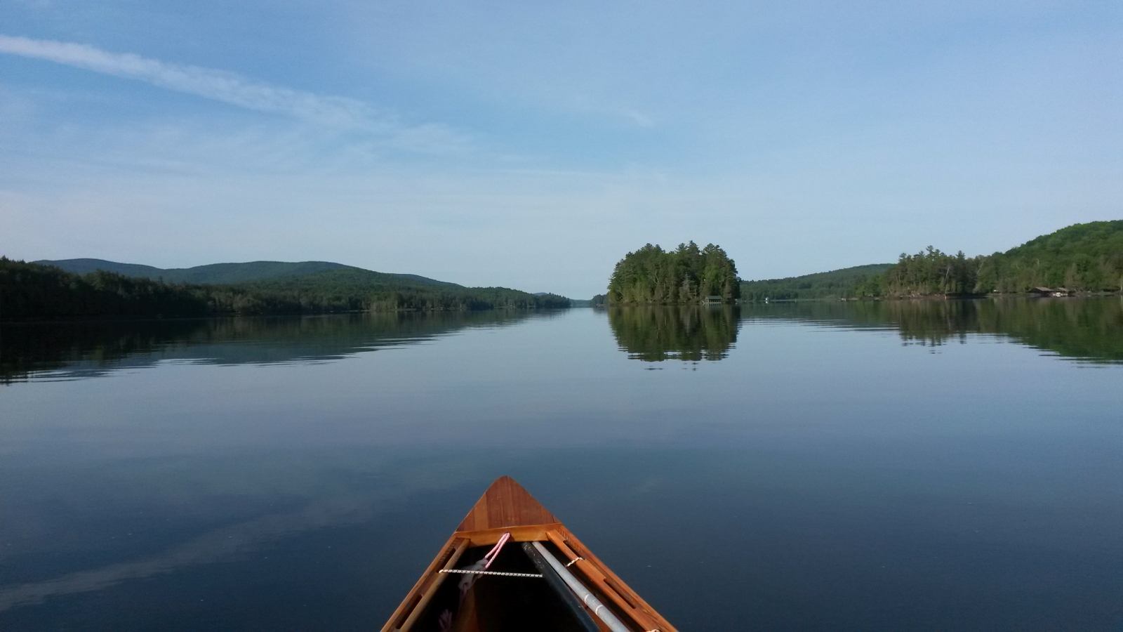
Long Lake before the wind
|
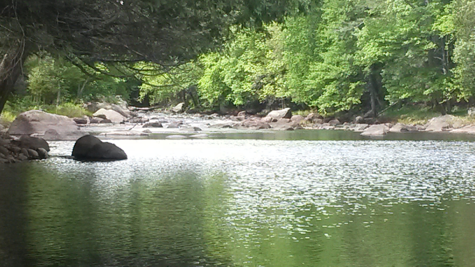
Deerland: no way through
|
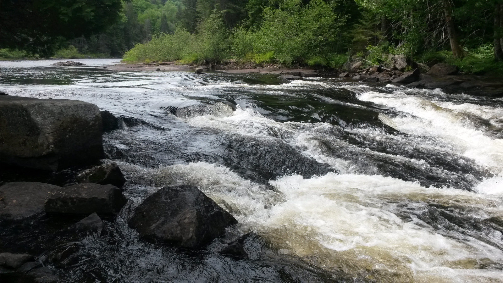
Buttermilk …
|
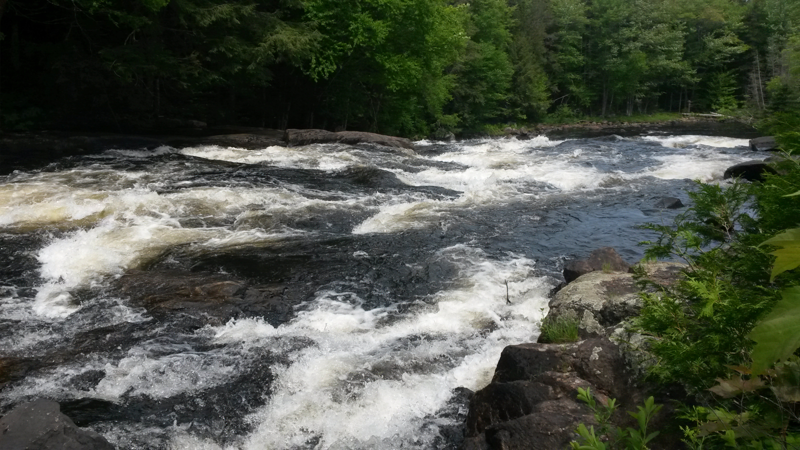
… Falls
|
|
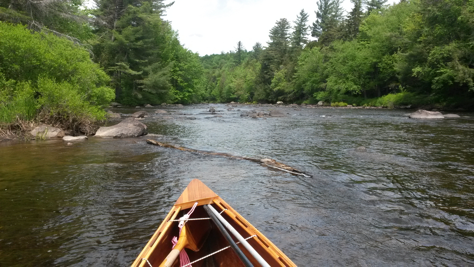
There was now much more rock-dodging to do, and the wind frequently upset my line, making for a frustrating trip upstream. Finally I encountered
more rapids and, some way off, an obvious take-out where a group of canoeists was preparing to put in for a downstream run. It was far too shallow
and rocky to get anywhere near the take-out, even wading, so my carry began mid-stream. My boots, which had become almost dry over the last couple
of days, were now soaked once more. As I stepped out of the river on to dry land, that completed my last major upstream river of this trip. Only the
short Brown's Tract inlet remained, and that was likely to have sluggish flow due to beaver activity.
The carry led to Forked Lake camp-ground, where I topped up with water, and then set off into a now brisk westerly breeze, about 15 mph. Some
shelter was available close to the southern shore, and I raced past a couple in a tandem canoe who were slogging upwind mid-lake. Maybe they saw and
learned. Maybe not. At its strongest the wind scrubbed off all my momentum, making for hard work and frustration. At the Forked Lake Carry Road I
chatted for a while with four kayakers who were heading out for an afternoon paddle.
|
Approaching the carry to Forked Lake
|
Outlet Bay, Raquette Lake
|
|
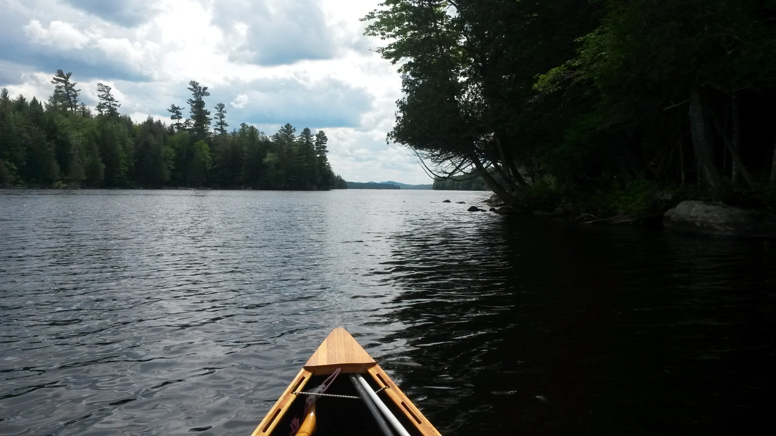
The half-mile carry took less than 10 minutes, and then I set off up Outlet Bay on Raquette Lake, still into the wind but seeking shelter against
the northern shore. That shelter ran out around Boucher Point, so I began the long crossing to Bluff Point to the southwest, ferry-gliding towards
the southern shore during the strongest gusts and making way to the west in the lulls. Once more I encountered two sets of converging waves, coming
from the west and the northwest, making for some uncomfortable chop. Bluff Point eventually arrived, and I turned to the south, enjoying the
relative comfort of a beam wind for a while as I passed Needle and Osprey Islands to Big Island. A bunch of Hobie Catamarans were out making
good speed, even in a more sheltered bay.
At the west end of Big Island, even on a Saturday, I could not believe my luck – the lean-to was vacant, so I claimed it at about 4:15 pm, far
earlier than my typical stopping time, but with no need to push farther. And this looked preferable to the next camping option on Eighth Lake.
Someone had left a supply of firewood, so I resolved to have a camp fire for only the second time and to cook dinner over it.
|
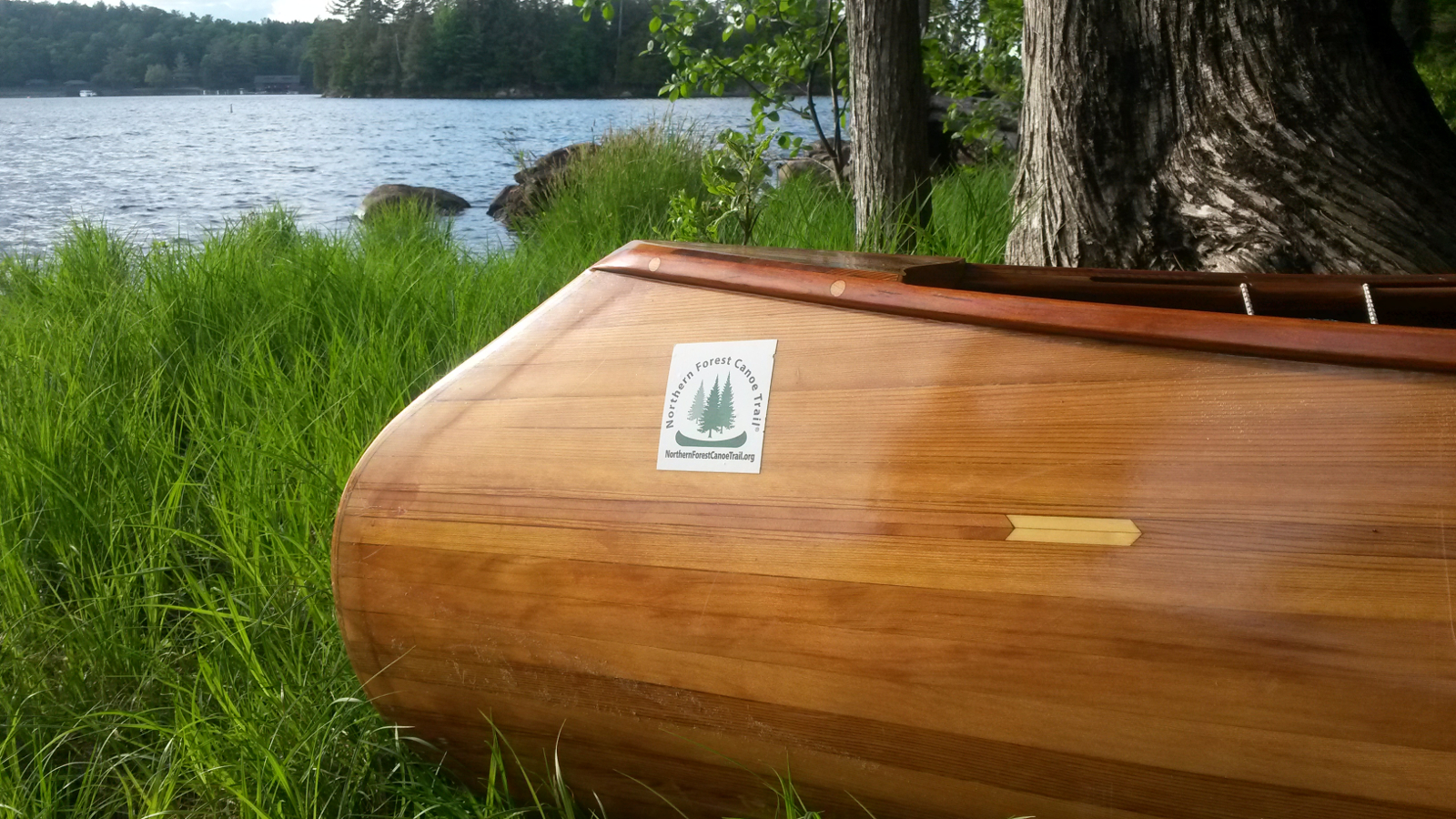
Photo shoot …
|
… on Big Island
|
|
The wind continued to blow strongly, bending treetops, until after 7:00 pm, when it finally abated, as did, uncharacteristically, the blackflies.
Dinner eaten, I sat by the fire reminiscing about this trip. So many evenings had been a rush to make camp and cook a meal before dark that it had
been rare to be able to think back, other than when in the hammock. All too often then sleep had interrupted the recapitulation process.
|
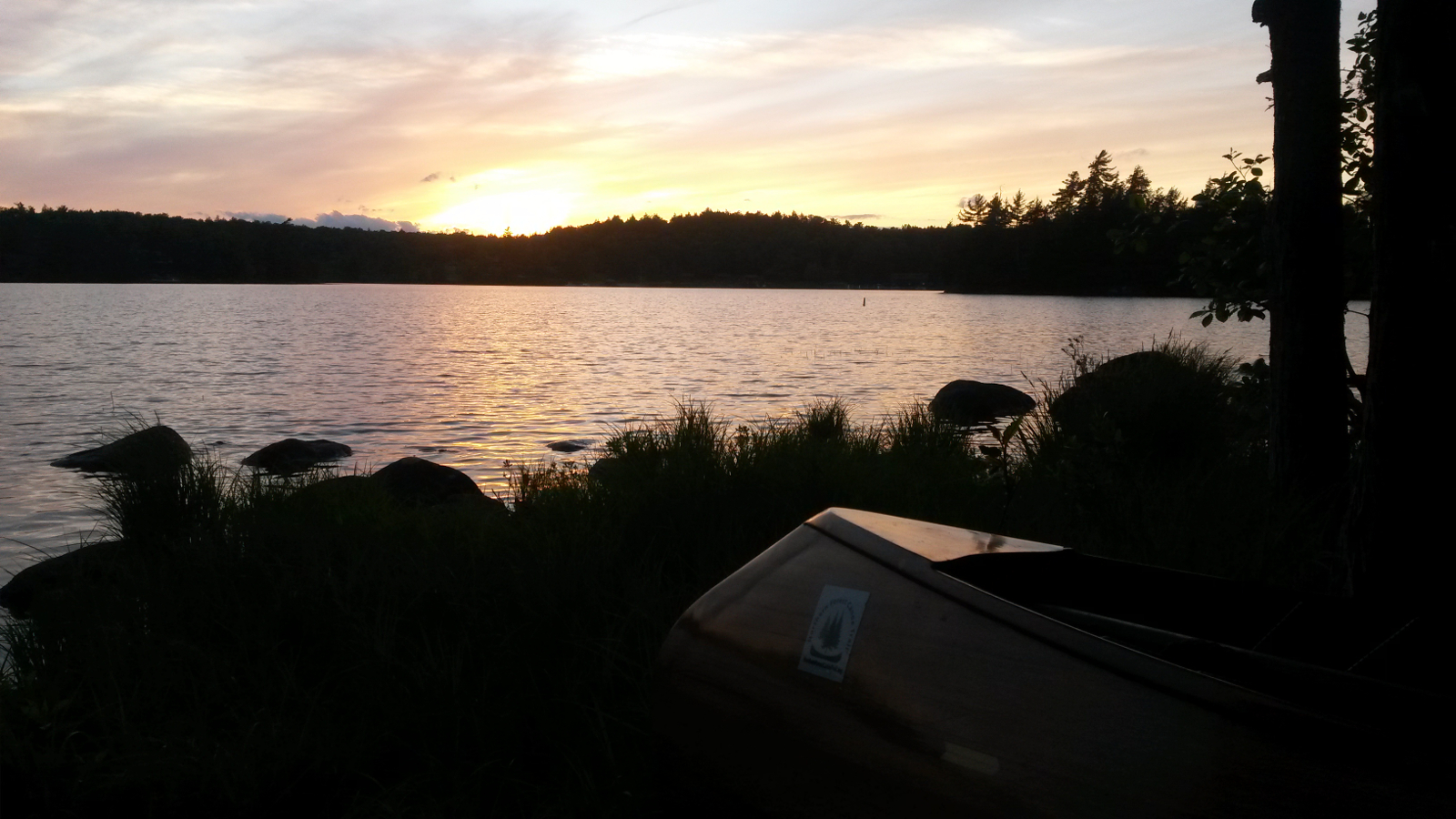
Sunset on Big Island
|
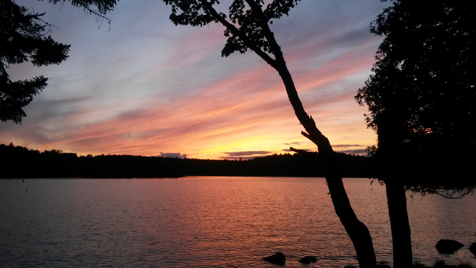
Sunset on Big Island
|
|
Tomorrow Viveka, Ray & Hildy, my ever trusty support crew, were going to paddle out from Old Forge to meet me at Alger Island in Fourth Lake.
They would bring a sumptuous picnic lunch, and then we would paddle the last few miles together, the entire team bringing this quest to a fitting
end. Not wishing to be late for our 12:30 pm rendezvous, I planned an early start, allowing about 6 hours to get there. That was probably more than
enough, but I had finally learned to allow for the contrariness of the wind.
|
|